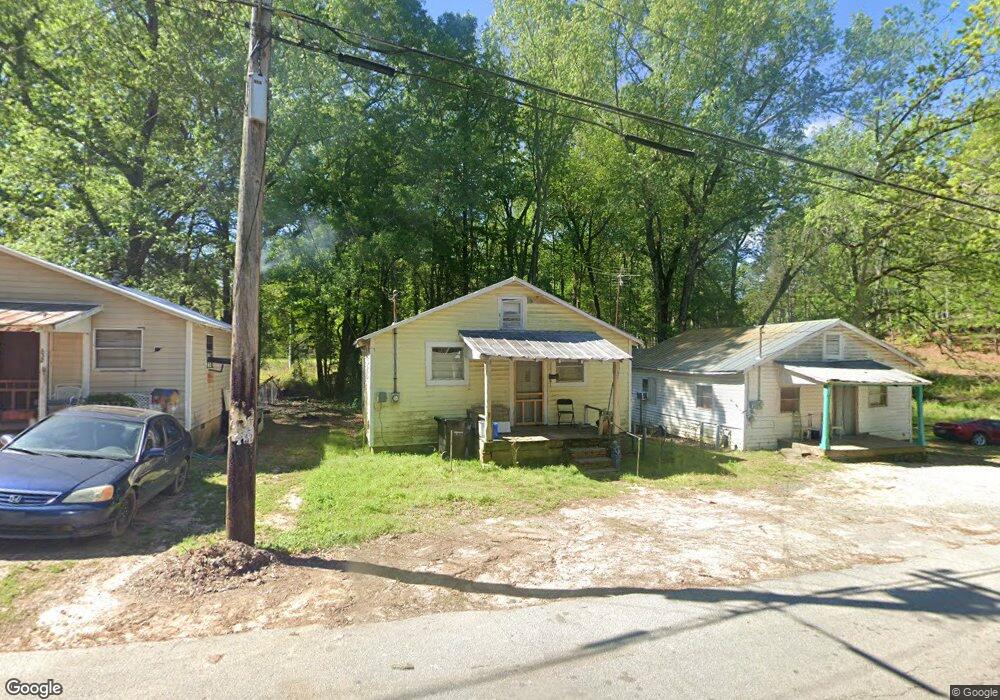
126 12th St Barnesville, GA 30204
Estimated Value: $86,000 - $160,000
8
Beds
4
Baths
834
Sq Ft
$131/Sq Ft
Est. Value
About This Home
This home is located at 126 12th St, Barnesville, GA 30204 and is currently estimated at $108,879, approximately $130 per square foot. 126 12th St is a home located in Lamar County with nearby schools including Lamar County Primary School, Lamar County Elementary School, and Lamar County Middle School.
Ownership History
Date
Name
Owned For
Owner Type
Purchase Details
Closed on
Jun 5, 2025
Sold by
Jones Roberta P
Bought by
Reagin John Anthony
Current Estimated Value
Home Financials for this Owner
Home Financials are based on the most recent Mortgage that was taken out on this home.
Original Mortgage
$92,769
Outstanding Balance
$70,160
Interest Rate
6.76%
Mortgage Type
New Conventional
Estimated Equity
$38,719
Purchase Details
Closed on
Sep 1, 1988
Bought by
Jones Roberta P
Create a Home Valuation Report for This Property
The Home Valuation Report is an in-depth analysis detailing your home's value as well as a comparison with similar homes in the area
Home Values in the Area
Average Home Value in this Area
Purchase History
| Date | Buyer | Sale Price | Title Company |
|---|---|---|---|
| Reagin John Anthony | $85,000 | -- | |
| Jones Roberta P | -- | -- |
Source: Public Records
Mortgage History
| Date | Status | Borrower | Loan Amount |
|---|---|---|---|
| Open | Reagin John Anthony | $92,769 |
Source: Public Records
Tax History Compared to Growth
Tax History
| Year | Tax Paid | Tax Assessment Tax Assessment Total Assessment is a certain percentage of the fair market value that is determined by local assessors to be the total taxable value of land and additions on the property. | Land | Improvement |
|---|---|---|---|---|
| 2025 | $1,837 | $78,708 | $2,800 | $75,908 |
| 2024 | $1,837 | $64,094 | $1,600 | $62,494 |
| 2023 | $2,043 | $66,188 | $1,600 | $64,588 |
| 2022 | $2,126 | $77,020 | $1,600 | $75,420 |
| 2021 | $1,802 | $59,935 | $1,600 | $58,335 |
| 2020 | $1,647 | $52,025 | $1,600 | $50,425 |
| 2019 | $1,651 | $52,025 | $1,600 | $50,425 |
| 2018 | $1,424 | $46,746 | $1,600 | $45,146 |
| 2017 | $1,417 | $46,746 | $1,600 | $45,146 |
| 2016 | $1,417 | $46,746 | $1,600 | $45,146 |
| 2015 | $1,415 | $46,746 | $1,600 | $45,146 |
| 2014 | $1,372 | $46,746 | $1,600 | $45,146 |
| 2013 | -- | $47,841 | $2,695 | $45,146 |
Source: Public Records
Map
Nearby Homes
- 0 12th St
- 12th 12th St
- 129 Annie M Harris Dr
- 129 12th St
- 127 Annie M Harris Dr
- 12th Street
- 119 12th St
- 152 12th St
- 116 12th St
- 115 Annie M Harris Dr
- 163 12th St
- 113 12th St
- 110 12th St
- 130 11th St
- 160 Annie M Harris Dr
- 105 Parkview Dr
- 105 Parkview Dr Unit A & B
- 114 Pritchett Cir
- 104 13th St
- 0 Olivia Ln Unit 8958795