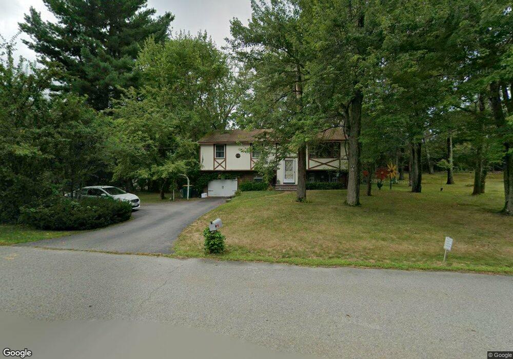
126 Bayberry Rd North Attleboro, MA 02760
North Attleboro NeighborhoodEstimated Value: $474,000 - $526,000
3
Beds
2
Baths
1,092
Sq Ft
$453/Sq Ft
Est. Value
About This Home
This home is located at 126 Bayberry Rd, North Attleboro, MA 02760 and is currently estimated at $494,491, approximately $452 per square foot. 126 Bayberry Rd is a home located in Bristol County with nearby schools including North Attleboro High School.
Ownership History
Date
Name
Owned For
Owner Type
Purchase Details
Closed on
Feb 18, 2022
Sold by
Raynham Preserve East Llc
Bought by
Slicis George B and Slicis Jo Anne
Current Estimated Value
Home Financials for this Owner
Home Financials are based on the most recent Mortgage that was taken out on this home.
Original Mortgage
$150,000
Outstanding Balance
$139,286
Interest Rate
3.55%
Mortgage Type
Purchase Money Mortgage
Estimated Equity
$355,205
Purchase Details
Closed on
Jun 18, 2020
Sold by
Quesada Melita
Bought by
Bayberry Road Rt
Purchase Details
Closed on
Mar 23, 1987
Sold by
Duffy Michael J
Bought by
Quesada Sam
Home Financials for this Owner
Home Financials are based on the most recent Mortgage that was taken out on this home.
Original Mortgage
$123,750
Interest Rate
9.02%
Create a Home Valuation Report for This Property
The Home Valuation Report is an in-depth analysis detailing your home's value as well as a comparison with similar homes in the area
Home Values in the Area
Average Home Value in this Area
Purchase History
| Date | Buyer | Sale Price | Title Company |
|---|---|---|---|
| Slicis George B | $748,335 | None Available | |
| Bayberry Road Rt | -- | None Available | |
| Quesada Sam | $137,500 | -- |
Source: Public Records
Mortgage History
| Date | Status | Borrower | Loan Amount |
|---|---|---|---|
| Open | Slicis George B | $150,000 | |
| Previous Owner | Quesada Sam | $102,187 | |
| Previous Owner | Quesada Sam | $123,750 |
Source: Public Records
Tax History Compared to Growth
Tax History
| Year | Tax Paid | Tax Assessment Tax Assessment Total Assessment is a certain percentage of the fair market value that is determined by local assessors to be the total taxable value of land and additions on the property. | Land | Improvement |
|---|---|---|---|---|
| 2025 | $4,605 | $390,600 | $148,500 | $242,100 |
| 2024 | $4,409 | $382,100 | $148,500 | $233,600 |
| 2023 | $4,675 | $365,500 | $154,900 | $210,600 |
| 2022 | $4,481 | $321,700 | $148,500 | $173,200 |
| 2021 | $4,484 | $314,200 | $148,500 | $165,700 |
| 2020 | $4,377 | $305,000 | $148,500 | $156,500 |
| 2019 | $4,151 | $291,500 | $135,000 | $156,500 |
| 2018 | $4,545 | $278,300 | $135,000 | $143,300 |
| 2017 | $3,558 | $269,100 | $135,000 | $134,100 |
| 2016 | $3,616 | $273,500 | $156,400 | $117,100 |
| 2015 | $3,486 | $265,300 | $162,900 | $102,400 |
| 2014 | $3,239 | $244,600 | $143,000 | $101,600 |
Source: Public Records
Map
Nearby Homes
- 12 Morgan Way Unit 1
- 16 Elizabeth St
- 145 W Bacon St
- 99 Arnold Rd
- 20 South St
- 12 Roosevelt Ave
- 16 Johnson St
- 60 Crescent Ave
- 137 Sumner St
- 105 W Bacon St
- 85 Richards Ave
- 93 Bank St
- 45 Moran St
- 19 Church St Unit A5
- 35-R Whiting St
- 5 Farm Hill Ln
- 151 Roosevelt Ave Unit A
- 16 Richards Ave Unit 106
- 10 Cliff Dr
- 160 Crescent Ave
- 126 Bayberry Rd Unit 2
- 138 Bayberry Rd
- 116 Bayberry Rd
- 127 Bayberry Rd
- 135 Bayberry Rd
- 117 Bayberry Rd
- 150 Bayberry Rd
- 108 Bayberry Rd
- 147 Bayberry Rd
- 107 Bayberry Rd
- 100 Bayberry Rd
- 95 Bayberry Rd
- 92 Bayberry Rd
- 87 Bayberry Rd
- 383 High St
- 389 High St
- 84 Bayberry Rd
- 357 High St
- 77 Bayberry Rd
- 399 High St