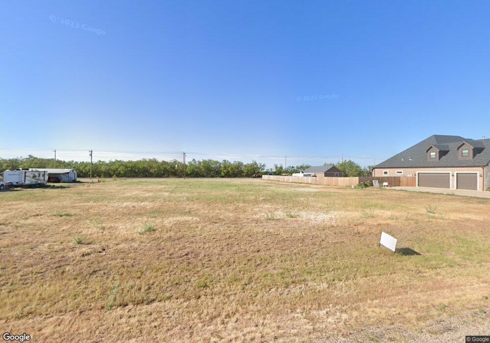
126 Buckshot Rd Abilene, TX 79602
Estimated Value: $383,000
Studio
2
Baths
--
Sq Ft
1.02
Acres
About This Home
This home is located at 126 Buckshot Rd, Abilene, TX 79602 and is currently estimated at $383,000. 126 Buckshot Rd is a home located in Taylor County with nearby schools including Wylie West Early Childhood Center, Wylie West Intermediate School, and Wylie West Elementary School.
Ownership History
Date
Name
Owned For
Owner Type
Purchase Details
Closed on
May 18, 2017
Sold by
Hawks Wes and Hawks Sherry
Bought by
Showcase Construction Llc
Current Estimated Value
Home Financials for this Owner
Home Financials are based on the most recent Mortgage that was taken out on this home.
Original Mortgage
$204,000
Interest Rate
3.97%
Mortgage Type
Construction
Purchase Details
Closed on
Dec 12, 2013
Sold by
First Bank Texas Ssb
Bought by
Hawks Wes and Hawks Sherry
Home Financials for this Owner
Home Financials are based on the most recent Mortgage that was taken out on this home.
Original Mortgage
$31,500
Interest Rate
4.21%
Mortgage Type
Purchase Money Mortgage
Create a Home Valuation Report for This Property
The Home Valuation Report is an in-depth analysis detailing your home's value as well as a comparison with similar homes in the area
Home Values in the Area
Average Home Value in this Area
Purchase History
| Date | Buyer | Sale Price | Title Company |
|---|---|---|---|
| Showcase Construction Llc | -- | None Available | |
| Hawks Wes | -- | None Available |
Source: Public Records
Mortgage History
| Date | Status | Borrower | Loan Amount |
|---|---|---|---|
| Closed | Showcase Construction Llc | $204,000 | |
| Previous Owner | Hawks Wes | $31,500 |
Source: Public Records
Tax History
| Year | Tax Paid | Tax Assessment Tax Assessment Total Assessment is a certain percentage of the fair market value that is determined by local assessors to be the total taxable value of land and additions on the property. | Land | Improvement |
|---|---|---|---|---|
| 2025 | $303 | $17,825 | $17,825 | -- |
| 2023 | $303 | $17,825 | $17,825 | -- |
| 2022 | $285 | $17,825 | $17,825 | $0 |
| 2021 | $319 | $17,825 | $17,825 | $0 |
| 2020 | $326 | $17,825 | $17,825 | $0 |
| 2019 | $337 | $17,825 | $17,825 | $0 |
| 2018 | $308 | $17,825 | $17,825 | $0 |
| 2017 | $297 | $17,825 | $17,825 | $0 |
| 2016 | $297 | $17,825 | $17,825 | $0 |
| 2015 | $278 | $17,825 | $17,825 | $0 |
| 2014 | $278 | $17,825 | $0 | $0 |
Source: Public Records
Map
Nearby Homes
- 118 Raymonds Way
- 159 Boeing Ln
- 126 Beechcraft
- 325 Nora Miller Rd
- 219 Beechcraft
- 225 Beechcraft
- 231 Beechcraft
- 231 Long Ranger Rd
- 240 Long Ranger Rd
- 246 Long Ranger Rd
- 201 Coyote Creek Ct
- 217 Coyote Creek Ct
- 141 Coyote Creek Ct
- 149 Coyote Creek Ct
- 310 Long Ranger Rd
- Lot 4 Palomino
- Lot 2 Palomino
- Lot 3 250 Palomino
- Lot 1 Palomino
- 117 Logan Trail
- 134 Buckshot Rd
- 118 Buckshot Rd
- 101 Buckshot Rd
- 109 Buckshot Rd
- 125 Buckshot Rd
- 110 Buckshot Rd
- 117 Buckshot Rd
- 102 Raymonds Way
- 134 Raymonds Way
- TBD Raymonds Way
- 157 Raymonds Way
- 1101 Fm 1750
- 150 Raymonds Way
- 165 Raymonds Way
- 1009 Fm 1750
- 166 Raymonds Way
- 181 Raymonds Way
- 182 Raymonds Way
- 961 Fm 1750
- 189 Raymonds Way