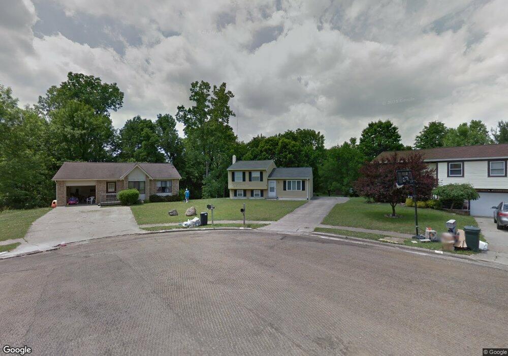
126 Buckthorn Ct Mansfield, OH 44907
Estimated Value: $153,661 - $208,000
3
Beds
1
Bath
1,216
Sq Ft
$146/Sq Ft
Est. Value
About This Home
This home is located at 126 Buckthorn Ct, Mansfield, OH 44907 and is currently estimated at $177,165, approximately $145 per square foot. 126 Buckthorn Ct is a home located in Richland County with nearby schools including Madison High School, Mansfield Christian School, and St. Peter's Elementary/Montessori School.
Ownership History
Date
Name
Owned For
Owner Type
Purchase Details
Closed on
Aug 12, 2004
Sold by
Young Paul A
Bought by
Clayton Deborah K
Current Estimated Value
Home Financials for this Owner
Home Financials are based on the most recent Mortgage that was taken out on this home.
Original Mortgage
$75,000
Outstanding Balance
$38,052
Interest Rate
6.35%
Mortgage Type
Purchase Money Mortgage
Estimated Equity
$139,113
Create a Home Valuation Report for This Property
The Home Valuation Report is an in-depth analysis detailing your home's value as well as a comparison with similar homes in the area
Home Values in the Area
Average Home Value in this Area
Purchase History
| Date | Buyer | Sale Price | Title Company |
|---|---|---|---|
| Clayton Deborah K | $86,500 | Chicago Title |
Source: Public Records
Mortgage History
| Date | Status | Borrower | Loan Amount |
|---|---|---|---|
| Open | Clayton Deborah K | $75,000 |
Source: Public Records
Tax History Compared to Growth
Tax History
| Year | Tax Paid | Tax Assessment Tax Assessment Total Assessment is a certain percentage of the fair market value that is determined by local assessors to be the total taxable value of land and additions on the property. | Land | Improvement |
|---|---|---|---|---|
| 2024 | $1,339 | $33,160 | $7,360 | $25,800 |
| 2023 | $1,339 | $33,160 | $7,360 | $25,800 |
| 2022 | $1,095 | $25,050 | $5,570 | $19,480 |
| 2021 | $1,095 | $25,050 | $5,570 | $19,480 |
| 2020 | $1,106 | $25,050 | $5,570 | $19,480 |
| 2019 | $1,029 | $21,060 | $4,680 | $16,380 |
| 2018 | $1,019 | $21,060 | $4,680 | $16,380 |
| 2017 | $999 | $21,060 | $4,680 | $16,380 |
| 2016 | $1,033 | $21,260 | $4,750 | $16,510 |
| 2015 | $1,033 | $21,260 | $4,750 | $16,510 |
| 2014 | $1,009 | $21,260 | $4,750 | $16,510 |
| 2012 | $883 | $21,920 | $4,900 | $17,020 |
Source: Public Records
Map
Nearby Homes
- 154 Elderberry Dr
- 148 Elderberry Dr
- 132 Elderberry Dr
- 129 Elderberry Dr
- 0 Yoha Dr
- 65 Logan Rd
- 1680 S Main St
- 1011 Princeton Trace
- 0 S Main St
- 1179 Burkwood Rd
- 136 Elmridge Rd
- 0 Lexington Ave Unit 224009661
- 1156 Yorkwood Rd
- 531 Sequoia Ln
- 601 Karlson Dr
- 554 Sequoia Ln
- 478 Clearview Rd
- 1125 Larchwood Rd
- 591 Straub Rd W
- 0 Woodville Rd Unit Lot 14956, 14957,
- 26 Buckthorn Ct
- 132 Buckthorn Ct
- 118 Buckthorn Ct
- 114 Buckthorn Ct
- 131 Lilac Ct W
- 125 Lilac Ct W
- 131 Buckthorn Ct
- 98 Buckthorn Ct
- 119 Buckthorn Ct
- 125 Buckthorn Ct
- 119 Lilac Ct W
- 113 Buckthorn Ct
- 113 Lilac Ct W
- 92 Buckthorn Ct
- 126 Lilac Ct W
- 107 Thistle Ct
- 1536 Thistle Dr
- 120 Lilac Ct W
- 1542 Thistle Dr
- 114 Lilac Ct W