126 Carroll Dr Carlisle, MA 01741
Estimated Value: $1,344,000 - $2,062,000
4
Beds
4
Baths
4,247
Sq Ft
$400/Sq Ft
Est. Value
About This Home
This home is located at 126 Carroll Dr, Carlisle, MA 01741 and is currently estimated at $1,699,317, approximately $400 per square foot. 126 Carroll Dr is a home located in Middlesex County with nearby schools including Carlisle School.
Ownership History
Date
Name
Owned For
Owner Type
Purchase Details
Closed on
May 13, 2013
Sold by
Williams Lionel A and Lowell Susan J
Bought by
Successors T and Williams Jeffrey C
Current Estimated Value
Purchase Details
Closed on
Feb 19, 2004
Sold by
Williams Lionel A and Lowell Susan J
Bought by
Williams Lionel A and Williams Susan
Purchase Details
Closed on
Oct 5, 1981
Bought by
Williams Irt
Create a Home Valuation Report for This Property
The Home Valuation Report is an in-depth analysis detailing your home's value as well as a comparison with similar homes in the area
Home Values in the Area
Average Home Value in this Area
Purchase History
| Date | Buyer | Sale Price | Title Company |
|---|---|---|---|
| Successors T | -- | -- | |
| Williams Lionel A | -- | -- | |
| Williams Irt | -- | -- |
Source: Public Records
Mortgage History
| Date | Status | Borrower | Loan Amount |
|---|---|---|---|
| Previous Owner | Williams Irt | $140,000 | |
| Previous Owner | Williams Irt | $120,000 | |
| Previous Owner | Williams Irt | $142,000 |
Source: Public Records
Tax History Compared to Growth
Tax History
| Year | Tax Paid | Tax Assessment Tax Assessment Total Assessment is a certain percentage of the fair market value that is determined by local assessors to be the total taxable value of land and additions on the property. | Land | Improvement |
|---|---|---|---|---|
| 2025 | $21,390 | $1,622,900 | $640,000 | $982,900 |
| 2024 | $20,788 | $1,559,500 | $596,400 | $963,100 |
| 2023 | $21,596 | $1,526,200 | $557,300 | $968,900 |
| 2022 | $15,622 | $946,800 | $454,600 | $492,200 |
| 2021 | $15,414 | $946,800 | $454,600 | $492,200 |
| 2020 | $15,698 | $855,000 | $389,300 | $465,700 |
| 2019 | $14,370 | $785,700 | $389,300 | $396,400 |
| 2018 | $14,276 | $785,700 | $389,300 | $396,400 |
| 2017 | $13,770 | $781,500 | $389,300 | $392,200 |
| 2016 | $13,442 | $781,500 | $389,300 | $392,200 |
| 2015 | $12,899 | $678,900 | $371,800 | $307,100 |
| 2014 | $12,655 | $678,900 | $371,800 | $307,100 |
Source: Public Records
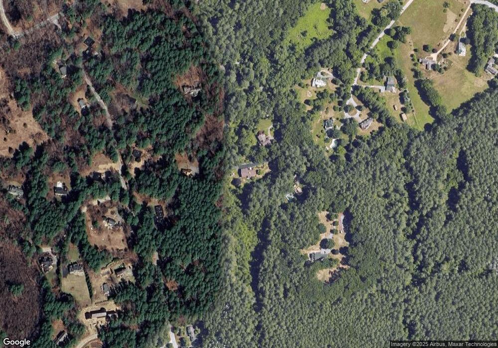
Map
Nearby Homes
- 383 E Riding Dr
- 373 E Riding Dr
- 3 Kay's Walk
- 15 Kay's Walk
- 1 Kay's Walk Unit 1
- 1 Kay's Walk
- 13 Kay's Walk
- 15 Kay's Walk Unit 4
- 3 Kay's Walk Unit 3
- 282 Brook St
- 8 Kay's Walk Unit 13
- 14 Kay's Walk
- 6 Kay's Walk Unit 6
- 6 Kay's Walk
- 2 Kay's Walk Unit 18
- 4 Kay's Walk Unit 15
- 225 Lowell St
- 125 Maple St
- 4 Dove Ln
- 63 Outlook Rd
- 112 Carroll Dr
- 78 Carroll Dr
- 140 Carroll Dr
- 137 E Riding Dr
- 137 E Riding Dr Unit 137
- 137 E Riding Dr Unit 1
- 74 Carroll Dr
- 90 E Meadow Ln
- 89 E Riding Dr
- 94 E Meadow Ln
- 163 E Riding Dr
- 160 Carroll Dr
- 85 E Meadow Ln
- 63 E Riding Dr
- 177 E Riding Dr
- 126 E Riding Dr
- 98 E Riding Dr
- 156 E Riding Dr
- 75 E Meadow Ln
- 52 E Riding Dr