126 Cat Rock Rd Cos Cob, CT 06807
Estimated Value: $4,514,053 - $5,276,000
5
Beds
8
Baths
7,600
Sq Ft
$632/Sq Ft
Est. Value
About This Home
This home is located at 126 Cat Rock Rd, Cos Cob, CT 06807 and is currently estimated at $4,804,263, approximately $632 per square foot. 126 Cat Rock Rd is a home located in Fairfield County with nearby schools including North Street School, Central Middle School, and Greenwich High School.
Ownership History
Date
Name
Owned For
Owner Type
Purchase Details
Closed on
Jun 18, 2009
Sold by
Craver David and Craver Vicki
Bought by
Kavan Suresh and Steane Katherine Louis
Current Estimated Value
Home Financials for this Owner
Home Financials are based on the most recent Mortgage that was taken out on this home.
Original Mortgage
$708,750
Interest Rate
4.91%
Mortgage Type
Purchase Money Mortgage
Create a Home Valuation Report for This Property
The Home Valuation Report is an in-depth analysis detailing your home's value as well as a comparison with similar homes in the area
Home Values in the Area
Average Home Value in this Area
Purchase History
| Date | Buyer | Sale Price | Title Company |
|---|---|---|---|
| Kavan Suresh | $3,200,000 | -- |
Source: Public Records
Mortgage History
| Date | Status | Borrower | Loan Amount |
|---|---|---|---|
| Open | Kavan Suresh | $1,000,000 | |
| Closed | Kavan Suresh | $708,750 | |
| Previous Owner | Kavan Suresh | $1,000,000 |
Source: Public Records
Tax History Compared to Growth
Tax History
| Year | Tax Paid | Tax Assessment Tax Assessment Total Assessment is a certain percentage of the fair market value that is determined by local assessors to be the total taxable value of land and additions on the property. | Land | Improvement |
|---|---|---|---|---|
| 2025 | $26,648 | $2,213,260 | $618,450 | $1,594,810 |
| 2024 | $25,917 | $2,213,260 | $618,450 | $1,594,810 |
| 2023 | $25,209 | $2,213,260 | $618,450 | $1,594,810 |
| 2022 | $24,966 | $2,213,260 | $618,450 | $1,594,810 |
| 2021 | $27,789 | $2,397,710 | $562,240 | $1,835,470 |
| 2020 | $27,789 | $2,397,710 | $562,240 | $1,835,470 |
| 2019 | $28,005 | $2,397,710 | $562,240 | $1,835,470 |
| 2018 | $27,102 | $2,383,640 | $562,240 | $1,821,400 |
| 2017 | $26,400 | $2,321,900 | $562,240 | $1,759,660 |
| 2016 | $26,005 | $2,321,900 | $562,240 | $1,759,660 |
| 2015 | $25,247 | $2,240,210 | $886,200 | $1,354,010 |
| 2014 | $24,575 | $2,240,210 | $886,200 | $1,354,010 |
Source: Public Records
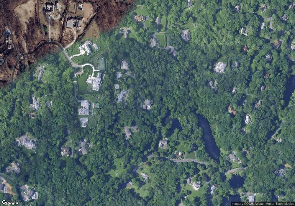
Map
Nearby Homes
- 34 Dublin Hill Rd
- 10 Tomahawk Ln
- 6 Fox Hollow Ln
- 9 Walnut St
- 333 Palmer Hill Rd Unit 2E
- 24 Sawmill Ln
- 92 Hillcrest Park Rd
- 116 Hillcrest Park Rd
- 75 W Glen Dr
- 43 Sawmill Ln
- 382 North St
- 10 Copper Beech Rd
- 50 Dingletown Rd
- 67 Cos Cob Ave
- 116 Birch Ln
- 7 Pleasant View Place
- 7 Parsonage Rd
- 490 North St
- 78 Londonderry Dr
- 88 Valleywood Rd
- 130 Cat Rock Rd
- 113 Cat Rock Rd
- 122 Cat Rock Rd
- 134 Cat Rock Rd
- 52 Dublin Hill Rd
- 136 Cat Rock Rd
- 50 Dublin Hill Rd
- 105 Cat Rock Rd
- 121 Cat Rock Rd
- 1 Cat Rock Rd
- 84 Cat Rock Rd
- 74 Old Stone Bridge Rd
- 27 Dublin Hill Rd
- 112 Cat Rock Rd
- 138 Cat Rock Rd
- 74 Old Stone Bridge Rd
- 114 Cat Rock Rd
- 125 Cat Rock Rd
- 125 Cat Rock Rd
- 48 Dublin Hill Rd