126 Cemetery Rd Decatur, TX 76234
Estimated Value: $565,000 - $589,000
4
Beds
2
Baths
2,557
Sq Ft
$225/Sq Ft
Est. Value
About This Home
This home is located at 126 Cemetery Rd, Decatur, TX 76234 and is currently estimated at $575,205, approximately $224 per square foot. 126 Cemetery Rd is a home located in Wise County with nearby schools including Decatur High School and Victory Christian Academy.
Ownership History
Date
Name
Owned For
Owner Type
Purchase Details
Closed on
Oct 21, 2020
Sold by
Hornsby Christopher and Hornsby Terri
Bought by
Hales Ricky and Hales Yvonne
Current Estimated Value
Home Financials for this Owner
Home Financials are based on the most recent Mortgage that was taken out on this home.
Original Mortgage
$308,000
Outstanding Balance
$273,450
Interest Rate
2.8%
Mortgage Type
New Conventional
Estimated Equity
$301,755
Purchase Details
Closed on
Mar 24, 2016
Sold by
Rosenbaum Hughes Custom Homes Llc
Bought by
Hornsby Christopher and Hornsby Terri
Home Financials for this Owner
Home Financials are based on the most recent Mortgage that was taken out on this home.
Original Mortgage
$280,000
Interest Rate
3.68%
Mortgage Type
New Conventional
Purchase Details
Closed on
Jul 2, 2015
Sold by
Rosebaum Samuel and Rosebaum Jana
Bought by
Hornsby Christopher and Hornsby Terri
Purchase Details
Closed on
Aug 29, 2014
Sold by
W C Trails Llc
Bought by
Hornsby Christopher and Hornsby Terri
Create a Home Valuation Report for This Property
The Home Valuation Report is an in-depth analysis detailing your home's value as well as a comparison with similar homes in the area
Home Values in the Area
Average Home Value in this Area
Purchase History
| Date | Buyer | Sale Price | Title Company |
|---|---|---|---|
| Hales Ricky | -- | Guardian Title Co | |
| Hornsby Christopher | -- | None Available | |
| Hornsby Christopher | -- | -- | |
| Hornsby Christopher | -- | -- |
Source: Public Records
Mortgage History
| Date | Status | Borrower | Loan Amount |
|---|---|---|---|
| Open | Hales Ricky | $308,000 | |
| Previous Owner | Hornsby Christopher | $280,000 |
Source: Public Records
Tax History Compared to Growth
Tax History
| Year | Tax Paid | Tax Assessment Tax Assessment Total Assessment is a certain percentage of the fair market value that is determined by local assessors to be the total taxable value of land and additions on the property. | Land | Improvement |
|---|---|---|---|---|
| 2025 | $4,154 | $546,423 | $150,015 | $396,408 |
| 2024 | $4,154 | $501,630 | $101,048 | $400,582 |
| 2023 | $5,879 | $486,620 | $0 | $0 |
| 2022 | $6,788 | $442,382 | $0 | $0 |
| 2021 | $6,447 | $402,170 | $80,010 | $322,160 |
| 2020 | $6,340 | $392,990 | $75,010 | $317,980 |
| 2019 | $6,613 | $384,850 | $75,010 | $309,840 |
| 2018 | $6,487 | $372,400 | $70,020 | $302,380 |
| 2017 | $5,897 | $332,230 | $45,000 | $287,230 |
| 2016 | $3,817 | $333,370 | $45,000 | $288,370 |
| 2015 | -- | $45,000 | $45,000 | $0 |
Source: Public Records
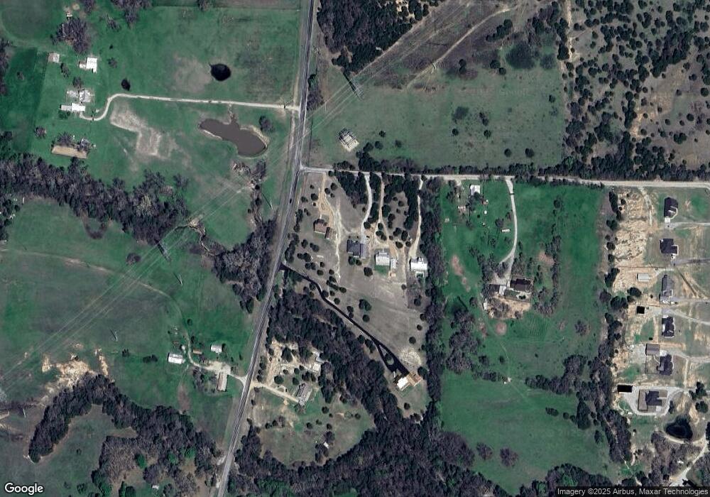
Map
Nearby Homes
- 114 Cemetery Rd
- 362 Decatur Cemetery Rd
- Lot 12 Cedar Springs Estates
- 3092 N Trinity St
- 175 Quail Ridge Ct
- 165 Quail Ridge Ct
- 918 Old Decatur Rd
- 1952 Old Decatur Rd
- 2811 N Trinity St
- 835 County Road 2175
- 2270 County Road 2360
- 205 Private Road 2202 Unit 2194
- 135 Private Road 2202
- 150 Private Road 2202
- 136 Private Road 2202
- 166 Private Road 2202
- 279 Private Road 2202
- 237 Private Road 2202
- 340 Private Road 2202
- 345 Private Road 2202
- 140 Cemetery Rd
- 158 Cemetery Rd
- 362 N Fm 730
- 318 N Fm 730
- 1243 Cemetery Rd
- 510 N Fm 730
- 510 N Fm 730
- 179 Private Road 2178
- 318 Cemetery Rd
- 536 N Fm 730
- 324 Decatur Cemetery Rd
- 332 Decatur Cemetery Rd
- 272 N Fm 730
- 350 Cemetery Rd
- 321 Cemetery Rd
- 321 Cemetery Rd
- 245 N Fm 730
- 309 N Fm 730
- 309 N Fm 730
- 242 N Fm 730