Estimated Value: $163,000 - $252,000
4
Beds
3
Baths
1,428
Sq Ft
$145/Sq Ft
Est. Value
About This Home
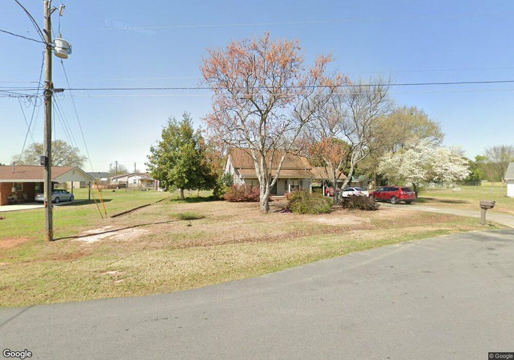
This home is located at 126 Chase Ct, Byron, GA 31008 and is currently estimated at $206,955, approximately $144 per square foot. 126 Chase Ct is a home located in Peach County with nearby schools including Kay Road Elementary School, Fort Valley Middle School, and Peach County High School.
Ownership History
Date
Name
Owned For
Owner Type
Purchase Details
Closed on
Oct 14, 2022
Sold by
Branyan Barbara J
Bought by
Lipsey Barbara Jean and Lipsey Bonwell R
Current Estimated Value
Purchase Details
Closed on
Mar 30, 1999
Sold by
Branyan Barbara J
Bought by
Lipsey Bonwell R
Purchase Details
Closed on
Sep 29, 1989
Bought by
Branyan Barbara J
Purchase Details
Closed on
Nov 28, 1987
Bought by
Houser Mill Development Company
Purchase Details
Closed on
Sep 11, 1987
Bought by
Davis Brett E and Davis Shelia R
Purchase Details
Closed on
Mar 20, 1987
Bought by
Wright Stanley
Create a Home Valuation Report for This Property
The Home Valuation Report is an in-depth analysis detailing your home's value as well as a comparison with similar homes in the area
Home Values in the Area
Average Home Value in this Area
Purchase History
| Date | Buyer | Sale Price | Title Company |
|---|---|---|---|
| Lipsey Barbara Jean | -- | -- | |
| Lipsey Bonwell R | -- | -- | |
| Branyan Barbara J | $64,000 | -- | |
| Houser Mill Development Company | -- | -- | |
| Davis Brett E | $63,500 | -- | |
| Wright Stanley | -- | -- |
Source: Public Records
Tax History
| Year | Tax Paid | Tax Assessment Tax Assessment Total Assessment is a certain percentage of the fair market value that is determined by local assessors to be the total taxable value of land and additions on the property. | Land | Improvement |
|---|---|---|---|---|
| 2025 | $1,466 | $42,036 | $6,280 | $35,756 |
| 2024 | $1,462 | $40,956 | $6,480 | $34,476 |
| 2023 | $1,482 | $41,268 | $6,480 | $34,788 |
| 2022 | $980 | $36,420 | $6,480 | $29,940 |
| 2021 | $999 | $31,988 | $6,480 | $25,508 |
| 2020 | $1,197 | $38,336 | $6,480 | $31,856 |
| 2019 | $1,175 | $37,456 | $6,480 | $30,976 |
| 2018 | $1,181 | $37,456 | $6,480 | $30,976 |
| 2017 | $1,187 | $37,456 | $6,480 | $30,976 |
| 2016 | $1,182 | $37,456 | $6,480 | $30,976 |
| 2015 | $1,143 | $36,160 | $6,480 | $29,680 |
| 2014 | $1,145 | $36,160 | $6,480 | $29,680 |
| 2013 | -- | $36,160 | $6,480 | $29,680 |
Source: Public Records
Map
Nearby Homes
- 129 Amanda Dr
- 204 Brandon Way
- 109 Red Tail Cir
- 0 Housers Mill Rd Unit 5515996
- 4682 Housers Mill Rd
- 161 Rowland Cir
- 800 John E Sullivan Rd
- 0 Barker Rd Unit 243030
- 0 Barker Rd Unit 14258525
- 0 Barker Rd Unit 175053
- 19C Crown Ct
- 450 Jones Rd
- 116 Early Dr
- 3379 Housers Mill Rd
- 115 Early Dr
- 119 Early Dr
- 0 Peavy Rd
- 252 Shantz Way Unit (LOT A43)
- 252 Shantz Way
- 206 Christopher Dr
Your Personal Tour Guide
Ask me questions while you tour the home.