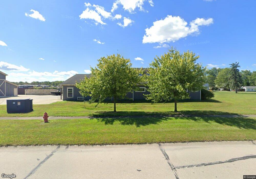
126 Commerce Dr E Lagrange, OH 44050
Studio
--
Bath
6,144
Sq Ft
44,431
Sq Ft Lot
About This Home
This home is located at 126 Commerce Dr E, Lagrange, OH 44050. 126 Commerce Dr E is a home located in Lorain County with nearby schools including Keystone Elementary School, Keystone Middle School, and Keystone High School.
Ownership History
Date
Name
Owned For
Owner Type
Purchase Details
Closed on
Sep 5, 2025
Sold by
John D Walls D and John Deborah S
Bought by
Elyria Concrete Inc
Purchase Details
Closed on
Oct 17, 2012
Sold by
Sperber Carl R and Sperber Lesley
Bought by
Walls John D and Walls Deborah S
Purchase Details
Closed on
Jun 30, 2004
Sold by
Dawson Wayne R and Dawson Colleen M
Bought by
Sperber Carl R
Purchase Details
Closed on
Mar 17, 1999
Sold by
Ferguson Timothy N and Ferguson Kristine S
Bought by
Dawson Wayne R and Dawson Colleen M
Purchase Details
Closed on
Oct 22, 1997
Sold by
R A West Land Dev
Bought by
Ferguson Et Al Timothy N Ferguson
Create a Home Valuation Report for This Property
The Home Valuation Report is an in-depth analysis detailing your home's value as well as a comparison with similar homes in the area
Home Values in the Area
Average Home Value in this Area
Purchase History
| Date | Buyer | Sale Price | Title Company |
|---|---|---|---|
| Elyria Concrete Inc | -- | Guardian Title | |
| Walls John D | $105,000 | Old Republic Title | |
| Sperber Carl R | $42,500 | Elyria Land Title | |
| Dawson Wayne R | $22,000 | -- | |
| Ferguson Et Al Timothy N Ferguson | $37,500 | -- |
Source: Public Records
Tax History
| Year | Tax Paid | Tax Assessment Tax Assessment Total Assessment is a certain percentage of the fair market value that is determined by local assessors to be the total taxable value of land and additions on the property. | Land | Improvement |
|---|---|---|---|---|
| 2024 | $4,875 | $95,200 | $17,315 | $77,886 |
| 2023 | $4,648 | $76,139 | $17,868 | $58,272 |
| 2022 | $4,648 | $76,139 | $17,868 | $58,272 |
| 2021 | $4,680 | $76,139 | $17,868 | $58,272 |
| 2020 | $4,741 | $76,140 | $17,870 | $58,270 |
| 2019 | $4,730 | $76,140 | $17,870 | $58,270 |
| 2018 | $4,522 | $76,140 | $17,870 | $58,270 |
| 2017 | $2,412 | $36,750 | $17,850 | $18,900 |
| 2016 | $2,397 | $36,750 | $17,850 | $18,900 |
| 2015 | $2,370 | $36,750 | $17,850 | $18,900 |
| 2014 | $2,053 | $36,750 | $17,850 | $18,900 |
| 2013 | $3,226 | $59,790 | $17,850 | $41,940 |
Source: Public Records
Map
Nearby Homes
- 110 Railroad St
- 305 W Main St
- 0 Dill Ct Unit 5072837
- 317 Church St
- 40260 Whitney Rd
- 516 Appomattox Ct
- 548 William St
- 567 Vicksburg Ct
- 340 Granger Dr
- 808 Buckingham Dr
- 800 Buckingham Dr
- 801 Willich Ct
- 829 Robinson Dr
- 42113 Meadow Ln
- 704 Black Bear Run
- 510 Arabian Ct
- 476 Stallion Ct
- 468 Stallion Ct
- 17058 Chamberlain Rd
- 20630 State Route 301
- 126 Commerce Dr
- 133 Commerce Dr E
- 430 S Center St
- 434 S Center St
- 403 S Center St
- 362 S Center St
- 385 S Center St
- 439 S Center St
- 0 E Commerce Dr Unit 3073154
- 421 S Center St
- 17520 Rt 301
- 357 S Center St
- 363 S Center St
- 17688 State Route 301
- 0 State Route 301 Unit 4040932
- 0 State Route 301 Unit 4040908
- 0 State Route 301 Unit 3980441
- 0 State Route 301 Unit 4329591
- 0 State Route 301 Unit 4290361
- 0 State Route 301 Unit 4276967
Your Personal Tour Guide
Ask me questions while you tour the home.