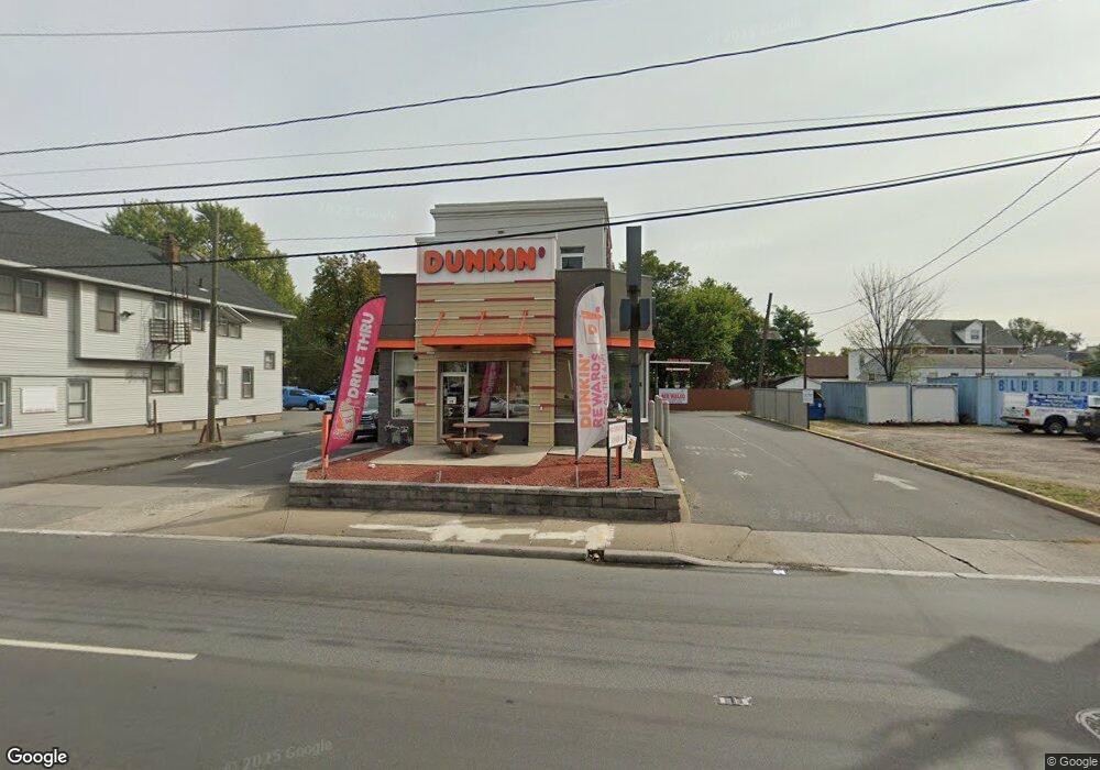
126 E Edgar Rd Linden, NJ 07036
Studio
--
Bath
500
Sq Ft
11,238
Sq Ft Lot
About This Home
This home is located at 126 E Edgar Rd, Linden, NJ 07036. 126 E Edgar Rd is a home located in Union County with nearby schools including School No. 2, Myles J. McManus Middle School, and Linden High School.
Ownership History
Date
Name
Owned For
Owner Type
Purchase Details
Closed on
May 2, 2011
Sold by
Shri Management Co Llc
Bought by
Ka Linden Llc
Home Financials for this Owner
Home Financials are based on the most recent Mortgage that was taken out on this home.
Original Mortgage
$220,000
Outstanding Balance
$152,890
Interest Rate
4.88%
Mortgage Type
Commercial
Purchase Details
Closed on
Jul 8, 1998
Sold by
Bjl & B Corp
Bought by
Shri Management Co Llc
Purchase Details
Closed on
Jul 1, 1997
Sold by
Whitney Linda and Gant Jack B
Bought by
B J L & B Corp
Create a Home Valuation Report for This Property
The Home Valuation Report is an in-depth analysis detailing your home's value as well as a comparison with similar homes in the area
Home Values in the Area
Average Home Value in this Area
Purchase History
| Date | Buyer | Sale Price | Title Company |
|---|---|---|---|
| Ka Linden Llc | $1,150,000 | Premier Abstract & Title Age | |
| Shri Management Co Llc | $170,000 | -- | |
| B J L & B Corp | -- | -- |
Source: Public Records
Mortgage History
| Date | Status | Borrower | Loan Amount |
|---|---|---|---|
| Open | Ka Linden Llc | $220,000 |
Source: Public Records
Tax History
| Year | Tax Paid | Tax Assessment Tax Assessment Total Assessment is a certain percentage of the fair market value that is determined by local assessors to be the total taxable value of land and additions on the property. | Land | Improvement |
|---|---|---|---|---|
| 2025 | $25,561 | $363,500 | $108,000 | $255,500 |
| 2024 | $23,763 | $363,500 | $108,000 | $255,500 |
Source: Public Records
Map
Nearby Homes
- 111 E 10th St
- 135 Liberty St
- 112 E 12th St
- 119 E 13th St
- 11 W 12th St
- 46 W 12th St
- 317 Mitchell Ave
- 300 Kennedy Dr
- 12 Belmont Place
- 1713 S Wood Ave Unit 2
- 226 Pennsylvania Railroad Ave
- 116 W 17th St Unit 2
- 212 W Morris Ave
- 108 W 18th St
- 1930 S Wood Ave
- 10 N Wood Ave Unit 406
- 10 N Wood Ave Unit 717
- 111 Todd Place
- 208 E Price St
- 120 S Stiles St
- 114 E Edgar Rd
- 144 E Edgar Rd
- 913 Clinton St
- 915 Clinton St
- 917 Clinton St
- 917 Clinton St Unit 2
- 917 Clinton St Unit 1
- 152 E Edgar Rd
- 925 Clinton St
- 115 E 10th St
- 121 E 10th St
- 908 Woodlawn Ave
- 101 E 10th St
- 151 E Edgar Rd
- 914 Woodlawn Ave
- 161 E Edgar Rd
- 920 Woodlawn Ave
- 48 E Edgar Rd
- 918 Clinton St
- 914 Clinton St
Your Personal Tour Guide
Ask me questions while you tour the home.