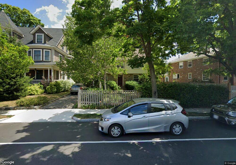
126 E Side Pkwy Newton, MA 02458
Newton Corner NeighborhoodEstimated Value: $1,041,000 - $1,078,398
3
Beds
3
Baths
1,504
Sq Ft
$708/Sq Ft
Est. Value
About This Home
This home is located at 126 E Side Pkwy, Newton, MA 02458 and is currently estimated at $1,064,350, approximately $707 per square foot. 126 E Side Pkwy is a home located in Middlesex County with nearby schools including Cabot Elementary School, F.A. Day Middle School, and Newton North High School.
Ownership History
Date
Name
Owned For
Owner Type
Purchase Details
Closed on
Dec 15, 1989
Sold by
Wishnow Edward
Bought by
Carter Robert D
Current Estimated Value
Home Financials for this Owner
Home Financials are based on the most recent Mortgage that was taken out on this home.
Original Mortgage
$187,450
Interest Rate
9.73%
Mortgage Type
Purchase Money Mortgage
Create a Home Valuation Report for This Property
The Home Valuation Report is an in-depth analysis detailing your home's value as well as a comparison with similar homes in the area
Home Values in the Area
Average Home Value in this Area
Purchase History
| Date | Buyer | Sale Price | Title Company |
|---|---|---|---|
| Carter Robert D | $236,000 | -- |
Source: Public Records
Mortgage History
| Date | Status | Borrower | Loan Amount |
|---|---|---|---|
| Closed | Carter Robert D | $183,600 | |
| Closed | Carter Robert D | $187,450 |
Source: Public Records
Tax History
| Year | Tax Paid | Tax Assessment Tax Assessment Total Assessment is a certain percentage of the fair market value that is determined by local assessors to be the total taxable value of land and additions on the property. | Land | Improvement |
|---|---|---|---|---|
| 2025 | $9,394 | $958,600 | $905,100 | $53,500 |
| 2024 | $9,084 | $930,700 | $878,700 | $52,000 |
| 2023 | $8,641 | $848,800 | $659,800 | $189,000 |
| 2022 | $8,268 | $785,900 | $610,900 | $175,000 |
| 2021 | $15,537 | $741,400 | $576,300 | $165,100 |
| 2020 | $7,740 | $741,400 | $576,300 | $165,100 |
| 2019 | $7,522 | $719,800 | $559,500 | $160,300 |
| 2018 | $7,191 | $664,600 | $505,800 | $158,800 |
| 2017 | $6,972 | $627,000 | $477,200 | $149,800 |
| 2016 | $6,669 | $586,000 | $446,000 | $140,000 |
| 2015 | $6,359 | $547,700 | $416,800 | $130,900 |
Source: Public Records
Map
Nearby Homes
- 84 E Side Pkwy Unit 84
- 216 Newtonville Ave Unit 218
- 0 Claremont St
- 48 Harvard St Unit 1
- 47 Blake St Unit 47
- 10 Washington Park Unit 2
- 10 Washington Park Unit 1
- 129 Withington Rd Unit 129
- 298 Cabot St Unit 298
- 300 Cabot St
- 55 Washington Park
- 73 Washington Park
- 33 George St Unit 33
- 35 George St Unit 35
- 37 George St Unit 37
- 77 Court St Unit 107
- 549 Centre St Unit 2
- 59 Hyde Ave
- 3 Ashmont Ave
- 327 Franklin St
- 47 Winchester Rd
- 122 E Side Pkwy
- 39 Winchester Rd
- 37 Winchester Rd
- 39 Winchester Rd Unit 39
- 114 E Side Pkwy
- 48 Hilltop St Unit 48
- 46 Hilltop St Unit 48
- 46 Hilltop St Unit 46
- 46 Hilltop St Unit 1
- 48 Winchester Rd Unit 50
- 48 Winchester Rd Unit 48
- 49 Winchester Rd
- 38-40 Winchester Rd
- 38 Winchester Rd Unit 40
- 42 Hilltop St
- 27 Winchester Rd
- 144 E Side Pkwy
- 144 E Side Pkwy Unit Pkwy 3
- 144 E Side Pkwy Unit 2
Your Personal Tour Guide
Ask me questions while you tour the home.