126 Fannie Matt Clark Rd Tignall, GA 30668
Estimated Value: $289,000 - $541,438
2
Beds
2
Baths
1,548
Sq Ft
$285/Sq Ft
Est. Value
About This Home
This home is located at 126 Fannie Matt Clark Rd, Tignall, GA 30668 and is currently estimated at $441,813, approximately $285 per square foot. 126 Fannie Matt Clark Rd is a home with nearby schools including Washington-Wilkes Elementary School, Washington-Wilkes Primary School, and Washington-Wilkes Middle School.
Ownership History
Date
Name
Owned For
Owner Type
Purchase Details
Closed on
Nov 26, 2015
Sold by
Whitton George M
Bought by
Whitton Becky Lee
Current Estimated Value
Purchase Details
Closed on
Dec 14, 2012
Sold by
Whitton George M
Bought by
Whitton Becky Lee
Purchase Details
Closed on
Nov 23, 2011
Sold by
Whitton George M
Bought by
Whitton George H
Purchase Details
Closed on
Dec 21, 2010
Sold by
Whitton George M
Bought by
Whitton George H
Purchase Details
Closed on
Jun 28, 2004
Sold by
Blue Sky Timber Prop
Bought by
Whitton George M
Purchase Details
Closed on
Nov 1, 1992
Bought by
Whitton George M
Create a Home Valuation Report for This Property
The Home Valuation Report is an in-depth analysis detailing your home's value as well as a comparison with similar homes in the area
Home Values in the Area
Average Home Value in this Area
Purchase History
| Date | Buyer | Sale Price | Title Company |
|---|---|---|---|
| Whitton Becky Lee | -- | -- | |
| Whitton George M | -- | -- | |
| Whitton Becky Lee | -- | -- | |
| Whitton George H | -- | -- | |
| Whitton George H | -- | -- | |
| Whitton Becky Lee | -- | -- | |
| Whitton George H | -- | -- | |
| Whitton Becky Lee | -- | -- | |
| Whitton George M | $119,000 | -- | |
| Whitton George M | $35,600 | -- |
Source: Public Records
Tax History Compared to Growth
Tax History
| Year | Tax Paid | Tax Assessment Tax Assessment Total Assessment is a certain percentage of the fair market value that is determined by local assessors to be the total taxable value of land and additions on the property. | Land | Improvement |
|---|---|---|---|---|
| 2025 | $2,558 | $101,966 | $69,266 | $32,700 |
| 2024 | $2,554 | $101,966 | $69,266 | $32,700 |
| 2023 | $2,468 | $101,966 | $69,266 | $32,700 |
| 2022 | $2,681 | $92,315 | $62,352 | $29,963 |
| 2021 | $2,681 | $92,315 | $62,352 | $29,963 |
| 2020 | $2,722 | $93,730 | $63,767 | $29,963 |
| 2019 | $2,722 | $93,730 | $63,767 | $29,963 |
| 2018 | $2,722 | $93,730 | $63,767 | $29,963 |
| 2017 | $2,722 | $93,730 | $63,767 | $29,963 |
| 2016 | $2,722 | $93,730 | $63,767 | $29,963 |
| 2015 | -- | $64,539 | $64,539 | $29,963 |
| 2014 | -- | $94,502 | $64,539 | $29,963 |
| 2013 | -- | $94,920 | $0 | $0 |
Source: Public Records
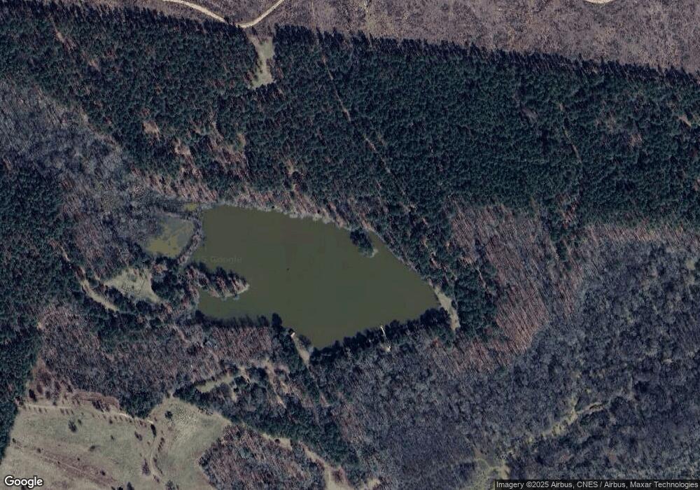
Map
Nearby Homes
- 0 Oscar Walton Rd Unit 24714036
- 1105 Shore Dr
- 18 Lake View Dr
- 11 Doe Run
- 1151 Buckhead Dr
- 29 Eagle Pointe
- 1695 Buckhead Dr
- Lot 18 S Pointe Ct
- 1021 S Pointe Ct
- LOT 16 S Pointe Ct
- Lot 11 S Pointe Ct
- 1191 Fishing Creek Estates Rd
- Lot 27&28 Lakeshore Estates Dr
- 2.19 ACRES Ridgeville Ct
- 1034 Shore Line Dr
- 1034 N Pointe Ct
- 1198 Sunset Cove
- 1192 Sunset Cove