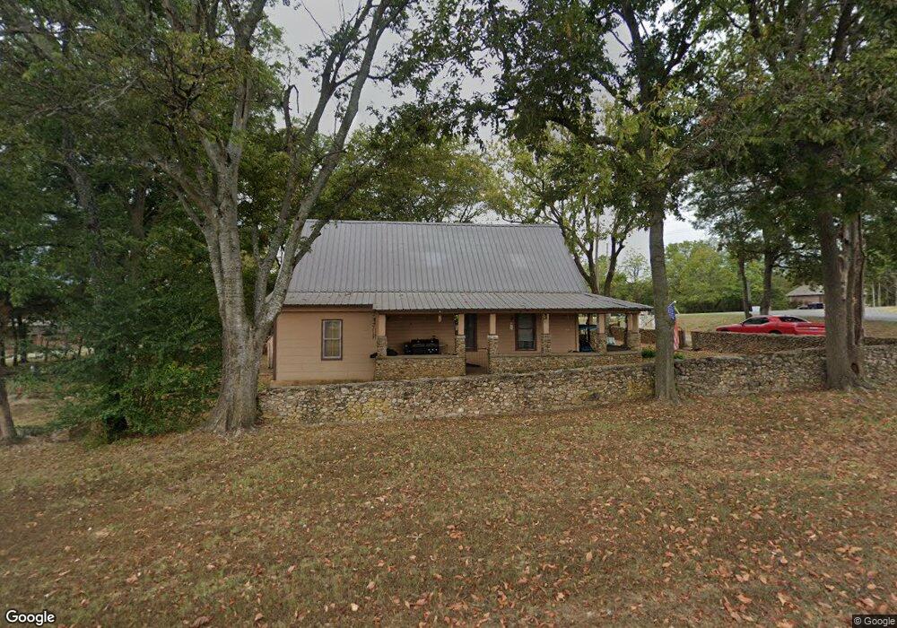
126 Glen St Cotter, AR 72626
Estimated Value: $92,000 - $208,000
Studio
1
Bath
1,348
Sq Ft
$103/Sq Ft
Est. Value
About This Home
This home is located at 126 Glen St, Cotter, AR 72626 and is currently estimated at $139,427, approximately $103 per square foot. 126 Glen St is a home located in Baxter County with nearby schools including Amanda Gist Elementary School, Cotter High School, and Grace Baptist School.
Ownership History
Date
Name
Owned For
Owner Type
Purchase Details
Closed on
Aug 9, 2007
Sold by
Not Provided
Bought by
Adkerson Mike and Moore Stacy
Current Estimated Value
Home Financials for this Owner
Home Financials are based on the most recent Mortgage that was taken out on this home.
Original Mortgage
$18,500
Interest Rate
6.69%
Mortgage Type
Future Advance Clause Open End Mortgage
Create a Home Valuation Report for This Property
The Home Valuation Report is an in-depth analysis detailing your home's value as well as a comparison with similar homes in the area
Purchase History
| Date | Buyer | Sale Price | Title Company |
|---|---|---|---|
| Adkerson Mike | $13,000 | -- | |
| Adkerson Mike | -- | -- |
Source: Public Records
Mortgage History
| Date | Status | Borrower | Loan Amount |
|---|---|---|---|
| Closed | Adkerson Mike | $18,500 |
Source: Public Records
Tax History
| Year | Tax Paid | Tax Assessment Tax Assessment Total Assessment is a certain percentage of the fair market value that is determined by local assessors to be the total taxable value of land and additions on the property. | Land | Improvement |
|---|---|---|---|---|
| 2025 | $146 | $13,500 | $2,000 | $11,500 |
| 2024 | $177 | $13,500 | $2,000 | $11,500 |
| 2023 | $252 | $13,500 | $2,000 | $11,500 |
| 2022 | $290 | $13,500 | $2,000 | $11,500 |
| 2021 | $162 | $11,030 | $2,000 | $9,030 |
| 2020 | $141 | $11,030 | $2,000 | $9,030 |
| 2019 | $137 | $11,030 | $2,000 | $9,030 |
| 2018 | $416 | $11,030 | $2,000 | $9,030 |
| 2017 | $101 | $11,030 | $2,000 | $9,030 |
| 2016 | $62 | $8,560 | $2,000 | $6,560 |
| 2015 | $62 | $8,560 | $2,000 | $6,560 |
| 2014 | $62 | $8,560 | $2,000 | $6,560 |
Source: Public Records
Map
Nearby Homes
- 198 Wallick Dr
- 114 Lithia St
- 004-00426-001 Harding Blvd
- 286 Pearl Dr
- 377 Virginia Lee Dr
- 371 Virginia Lee Dr
- 004-00632-000 Hwy 345
- 209 Winding River Dr
- 004-04953-003 Sowbug Cir
- 66 River Run Dr
- 513 Kirkland St
- 223 Gregory St
- 182-00000-000 Wet Fly Ct
- 134 Harrington St
- 0 Dry Fly Ct
- Lot 32 Dry Fly Ct
- 265 Dry Fly Ct
- 285 Dry Fly Ct
- 336 Dry Fly Ct
- 490-00001-008 Fox Chase Dr
- 1614 Harding Blvd
- 1587 Harding Blvd
- 124 Edna
- 1731 Harding Blvd
- 1542 Harding Blvd
- PT BLK 10 Mulberry
- 180 Mulberry Ln
- 1528 Harding Blvd
- 247 Lithia St
- 1502 Harding Blvd
- 1503 Harding Blvd
- 1815 Harding Blvd
- 158 Bland St
- 1474 Harding Blvd
- 1824 Harding Blvd
- 136 N Section Line Dr
- 166 N Section Line Dr
- 126 Bland St
- 1715 W Main St
- 186 N Section Line Dr
Your Personal Tour Guide
Ask me questions while you tour the home.