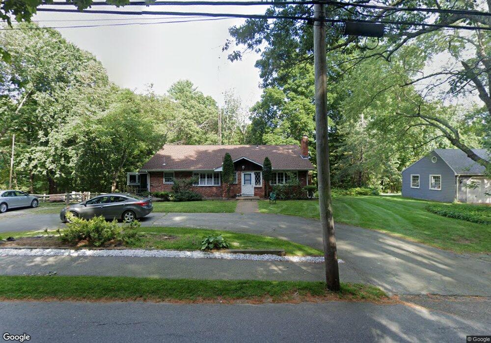
126 Haynes Rd Sudbury, MA 01776
Estimated Value: $753,719 - $1,029,000
4
Beds
3
Baths
1,380
Sq Ft
$640/Sq Ft
Est. Value
About This Home
This home is located at 126 Haynes Rd, Sudbury, MA 01776 and is currently estimated at $883,680, approximately $640 per square foot. 126 Haynes Rd is a home located in Middlesex County with nearby schools including Josiah Haynes Elementary School, Ephraim Curtis Middle School, and Lincoln-Sudbury Regional High School.
Ownership History
Date
Name
Owned For
Owner Type
Purchase Details
Closed on
Apr 21, 1993
Sold by
Eaton Chandler S and Eaton Claire D
Bought by
Greenwood Thomas A and Greenwood Karen M
Current Estimated Value
Home Financials for this Owner
Home Financials are based on the most recent Mortgage that was taken out on this home.
Original Mortgage
$145,000
Interest Rate
7.45%
Mortgage Type
Purchase Money Mortgage
Create a Home Valuation Report for This Property
The Home Valuation Report is an in-depth analysis detailing your home's value as well as a comparison with similar homes in the area
Home Values in the Area
Average Home Value in this Area
Purchase History
| Date | Buyer | Sale Price | Title Company |
|---|---|---|---|
| Greenwood Thomas A | $205,000 | -- |
Source: Public Records
Mortgage History
| Date | Status | Borrower | Loan Amount |
|---|---|---|---|
| Closed | Greenwood Thomas A | $145,000 |
Source: Public Records
Tax History Compared to Growth
Tax History
| Year | Tax Paid | Tax Assessment Tax Assessment Total Assessment is a certain percentage of the fair market value that is determined by local assessors to be the total taxable value of land and additions on the property. | Land | Improvement |
|---|---|---|---|---|
| 2025 | $10,659 | $728,100 | $365,000 | $363,100 |
| 2024 | $10,297 | $704,800 | $354,300 | $350,500 |
| 2023 | $10,228 | $648,600 | $328,100 | $320,500 |
| 2022 | $9,505 | $526,600 | $301,100 | $225,500 |
| 2021 | $36,007 | $481,200 | $301,100 | $180,100 |
| 2020 | $8,878 | $481,200 | $301,100 | $180,100 |
| 2019 | $8,618 | $481,200 | $301,100 | $180,100 |
| 2018 | $8,456 | $471,600 | $321,100 | $150,500 |
| 2017 | $32,412 | $445,400 | $305,400 | $140,000 |
| 2016 | $7,691 | $432,100 | $293,800 | $138,300 |
| 2015 | $7,651 | $434,700 | $299,100 | $135,600 |
| 2014 | $7,614 | $422,300 | $290,300 | $132,000 |
Source: Public Records
Map
Nearby Homes
- 42 Dakin Rd
- 16 Blacksmith Dr
- 14 Frost Ln
- 63 Canterbury Dr
- 57 Longfellow Rd
- 29 Longfellow Rd
- 121 White Pond Way Unit 121
- 401 Emery Ln Unit 104
- 401 Emery Ln Unit 304
- 67 Powder Mill Rd
- 55 Widow Rites Ln
- 45 Widow Rites Ln
- 5 Taintor Dr
- 24 Rookery Ln Unit 6
- 56 Rookery Ln Unit 4
- 40 Rookery Ln Unit 5
- 72 Rookery Ln Unit 3
- 589 North Rd
- 941 Concord Rd
- 369 Border Rd