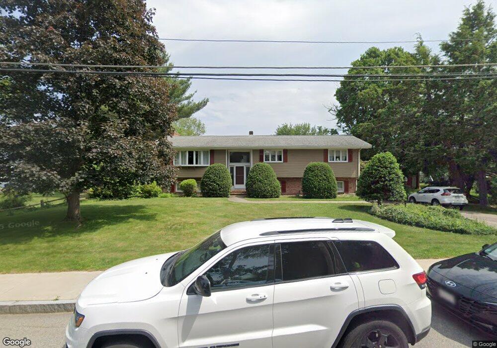
126 High St Mansfield, MA 02048
Estimated Value: $570,000 - $671,478
3
Beds
4
Baths
1,610
Sq Ft
$389/Sq Ft
Est. Value
About This Home
This home is located at 126 High St, Mansfield, MA 02048 and is currently estimated at $626,870, approximately $389 per square foot. 126 High St is a home located in Bristol County with nearby schools including Everett W. Robinson Elementary School, Jordan/Jackson Elementary School, and Harold L. Qualters Middle School.
Ownership History
Date
Name
Owned For
Owner Type
Purchase Details
Closed on
Feb 24, 2022
Sold by
Boyden Janet M and Boyden Paul F
Bought by
Boyden Paul F
Current Estimated Value
Purchase Details
Closed on
Sep 23, 2011
Sold by
Boyden Paul F
Bought by
Boyden Paul F and Boyden Janet M
Create a Home Valuation Report for This Property
The Home Valuation Report is an in-depth analysis detailing your home's value as well as a comparison with similar homes in the area
Home Values in the Area
Average Home Value in this Area
Purchase History
| Date | Buyer | Sale Price | Title Company |
|---|---|---|---|
| Boyden Paul F | -- | None Available | |
| Boyden Paul F | -- | -- |
Source: Public Records
Tax History Compared to Growth
Tax History
| Year | Tax Paid | Tax Assessment Tax Assessment Total Assessment is a certain percentage of the fair market value that is determined by local assessors to be the total taxable value of land and additions on the property. | Land | Improvement |
|---|---|---|---|---|
| 2025 | $8,247 | $626,200 | $245,900 | $380,300 |
| 2024 | $7,677 | $568,700 | $245,900 | $322,800 |
| 2023 | $7,444 | $528,300 | $245,900 | $282,400 |
| 2022 | $7,194 | $474,200 | $227,600 | $246,600 |
| 2021 | $3,765 | $442,900 | $202,000 | $240,900 |
| 2020 | $6,897 | $449,000 | $202,000 | $247,000 |
| 2019 | $6,656 | $437,300 | $190,300 | $247,000 |
| 2018 | $3,569 | $400,800 | $172,300 | $228,500 |
| 2017 | $6,008 | $400,000 | $167,300 | $232,700 |
| 2016 | $6,076 | $394,300 | $167,800 | $226,500 |
| 2015 | $5,506 | $355,200 | $159,400 | $195,800 |
Source: Public Records
Map
Nearby Homes
- 150 Rumford Ave Unit 222
- 241-243 N Main St
- 28 Court St
- 28 Court St Unit 4
- 38 Court St
- 16 East St Unit 2
- 21 East St Unit 1D
- 22 Pleasant St Unit B
- 22 Pleasant St Unit A
- 72 Court St Unit B
- 76 Samoset Ave
- 12 Wilson Place
- 99 Pleasant St
- 82 Brook St
- 28 Angell St
- 450 West St
- 60 King St
- 356 Central St
- 245 Willow St
- 132 S High St
- 4 Dean St
- 120 High St
- 10 Dean St
- 16 Dean St
- 110 High St Unit 114
- 147 High St
- 1 Dean St
- 3 Summer St
- 24 Dean St
- 143 High St
- 144 High St Unit 146
- 144 High St Unit 144
- 144 High St Unit 1
- 125 High St Unit 10A
- 125 High St Unit 203
- 125 High St Unit 103
- 125 High St Unit 6 & 7
- 98 High St Unit 100
- 11 Summer St
- 30 Dean St