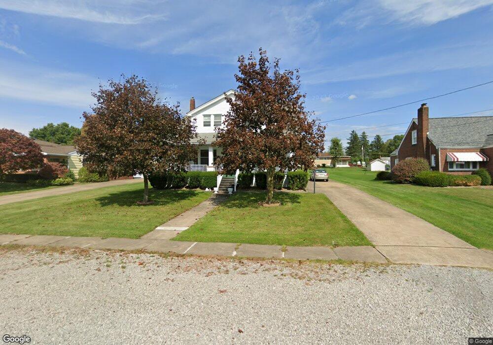
126 Highfield Rd Butler, PA 16001
Butler NeighborhoodEstimated Value: $140,136 - $227,000
5
Beds
2
Baths
1,620
Sq Ft
$125/Sq Ft
Est. Value
About This Home
This home is located at 126 Highfield Rd, Butler, PA 16001 and is currently estimated at $202,534, approximately $125 per square foot. 126 Highfield Rd is a home located in Butler County with nearby schools including Butler Intermediate High School, Butler Middle School, and First Baptist Christian School.
Ownership History
Date
Name
Owned For
Owner Type
Purchase Details
Closed on
Apr 4, 2016
Sold by
Malinak Carolyn
Bought by
Burns Joshua W and Burns Lindy M
Current Estimated Value
Home Financials for this Owner
Home Financials are based on the most recent Mortgage that was taken out on this home.
Original Mortgage
$91,000
Outstanding Balance
$72,365
Interest Rate
3.71%
Mortgage Type
New Conventional
Estimated Equity
$130,169
Purchase Details
Closed on
Sep 4, 2015
Sold by
Burns Patricia and Burns William L
Bought by
Burns Joshua W and Burns Lyndy M
Create a Home Valuation Report for This Property
The Home Valuation Report is an in-depth analysis detailing your home's value as well as a comparison with similar homes in the area
Home Values in the Area
Average Home Value in this Area
Purchase History
| Date | Buyer | Sale Price | Title Company |
|---|---|---|---|
| Burns Joshua W | $96,751 | Bankers Stlmnt & Abstract | |
| Burns Joshua W | -- | None Available |
Source: Public Records
Mortgage History
| Date | Status | Borrower | Loan Amount |
|---|---|---|---|
| Open | Burns Joshua W | $91,000 |
Source: Public Records
Tax History Compared to Growth
Tax History
| Year | Tax Paid | Tax Assessment Tax Assessment Total Assessment is a certain percentage of the fair market value that is determined by local assessors to be the total taxable value of land and additions on the property. | Land | Improvement |
|---|---|---|---|---|
| 2025 | $1,524 | $10,260 | $1,950 | $8,310 |
| 2024 | $1,496 | $10,260 | $1,950 | $8,310 |
| 2023 | $1,466 | $10,260 | $1,950 | $8,310 |
| 2022 | $1,466 | $10,260 | $1,950 | $8,310 |
| 2021 | $1,466 | $10,260 | $0 | $0 |
| 2020 | $1,466 | $10,260 | $1,950 | $8,310 |
| 2019 | $1,435 | $10,260 | $1,950 | $8,310 |
| 2018 | $1,435 | $10,260 | $1,950 | $8,310 |
| 2017 | $1,402 | $10,260 | $1,950 | $8,310 |
| 2016 | $439 | $10,260 | $1,950 | $8,310 |
| 2015 | $208 | $10,260 | $1,950 | $8,310 |
| 2014 | $208 | $10,260 | $1,950 | $8,310 |
Source: Public Records
Map
Nearby Homes
- 122 Arlington Ave
- 578 Kohler Avenue Extension
- 329 S Home Ave
- 261 Whitestown Rd
- 128 Jerome Dr
- 101 Gregden Rd
- 101 Jerome Dr
- 250 N Boundary St
- 110 Dominic Dr
- 114 Rothen Ave
- 206 Stoneridge Blvd
- 502 Main St
- 414-416 Bessemer Ave
- 405 Bessemer Ave
- 319 Bessemer Ave
- 275 S Duffy Rd
- 226 Havenhill Dr
- 302 Penn Ave
- 140 Whitestown Rd
- 293 Acre Ave
- 124 Highfield Rd
- 128 Highfield Rd
- 119 Ferguson Ave
- 122 Highfield Rd
- 121 Campbell Ave
- 123 Campbell Ave
- 120 Highfield Rd
- 115 Ferguson Ave
- 117 Campbell Ave
- 125 Highfield Rd
- 127 Highfield Rd
- 123 Highfield Rd
- 129 Highfield Rd
- 118 Highfield Rd
- 121 Highfield Rd
- 115 Campbell Ave
- Lot 2 Campbell Ave
- Lot 3 Campbell Ave
- 202 Highfield Rd
- 120 Campbell Ave