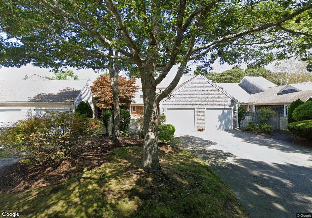
126 Kates Path Unit E Yarmouth Port, MA 02675
Yarmouth Port NeighborhoodEstimated Value: $503,000 - $621,000
2
Beds
2
Baths
1,292
Sq Ft
$442/Sq Ft
Est. Value
About This Home
This home is located at 126 Kates Path Unit E, Yarmouth Port, MA 02675 and is currently estimated at $571,545, approximately $442 per square foot. 126 Kates Path Unit E is a home located in Barnstable County with nearby schools including Dennis-Yarmouth Regional High School.
Ownership History
Date
Name
Owned For
Owner Type
Purchase Details
Closed on
Jun 11, 2024
Sold by
Diane C Mccarthy Ret and Mccarthy
Bought by
Mccarthy Beth C
Current Estimated Value
Purchase Details
Closed on
Aug 10, 2012
Sold by
Sokoloff Martin and Sokoloff Vivienne
Bought by
Diane C Mccarthy Ret and Mccarthy
Purchase Details
Closed on
Nov 2, 1998
Sold by
Mclellan E Robert E and Mclellan Lois J
Bought by
Sokoloff Martin and Sokoloff Vivienne
Purchase Details
Closed on
Jun 1, 1990
Sold by
The Green Co Inc
Bought by
Mclellan E Robert
Create a Home Valuation Report for This Property
The Home Valuation Report is an in-depth analysis detailing your home's value as well as a comparison with similar homes in the area
Home Values in the Area
Average Home Value in this Area
Purchase History
| Date | Buyer | Sale Price | Title Company |
|---|---|---|---|
| Mccarthy Beth C | -- | None Available | |
| Mccarthy Beth C | -- | None Available | |
| Diane C Mccarthy Ret | $250,000 | -- | |
| Diane C Mccarthy Ret | $250,000 | -- | |
| Sokoloff Martin | $200,000 | -- | |
| Sokoloff Martin | $200,000 | -- | |
| Mclellan E Robert | $179,000 | -- |
Source: Public Records
Tax History Compared to Growth
Tax History
| Year | Tax Paid | Tax Assessment Tax Assessment Total Assessment is a certain percentage of the fair market value that is determined by local assessors to be the total taxable value of land and additions on the property. | Land | Improvement |
|---|---|---|---|---|
| 2025 | $3,472 | $490,400 | $0 | $490,400 |
| 2024 | $3,223 | $436,700 | $0 | $436,700 |
| 2023 | $3,134 | $386,400 | $0 | $386,400 |
| 2022 | $3,578 | $389,800 | $0 | $389,800 |
| 2021 | $3,479 | $363,900 | $0 | $363,900 |
| 2020 | $3,510 | $351,000 | $0 | $351,000 |
| 2019 | $3,289 | $325,600 | $0 | $325,600 |
| 2018 | $3,088 | $300,100 | $0 | $300,100 |
| 2017 | $2,880 | $287,400 | $0 | $287,400 |
| 2016 | $2,742 | $274,700 | $0 | $274,700 |
| 2015 | -- | $280,700 | $0 | $280,700 |
Source: Public Records
Map
Nearby Homes
- 158 Kates Path
- 19 John Hall Cartway Unit E
- 19 John Halls Cartpath Village Unit E
- 228 Kates Path
- 50 John Hall Cartway
- 50 John Hall Cartway Unit 50
- 42 John Hall Cartway Unit 42
- 17 Kates Path Unit A
- 64 Kates Path
- 34 Kates Path
- 34 Kates Path Unit 34
- 7 Forest Gate Unit 7
- 30 W Woods
- 30 W Woods Cir Unit 30
- 28 Oak Glen
- 43 Canterbury Rd
- 25 Oak Glen Village Unit 25
- 25 Oak Glen
- 2 Pine Grove
- 44 Stratford Ln
- 126 Kates Path
- 124 Kates Path
- 120 Kates Path
- 118 Kates Path
- 116 Kates Path
- 120 Kates Path Unit 120
- 120 Kates Path Unit B
- 118 Kates Path Unit A
- 126 Kate's Path Unit 126
- 126 Kates Village Path Unit E
- 114 Kates Path
- 112 Kates Path
- 110 Kates Path Unit D
- 61 Kates Path
- 59 Kates Path
- 57 Kates Path
- 55 Kates Path
- 61 Kates Path Unit A
- 59 Kate's Path Unit 59
- 57 Kates Path Unit 57