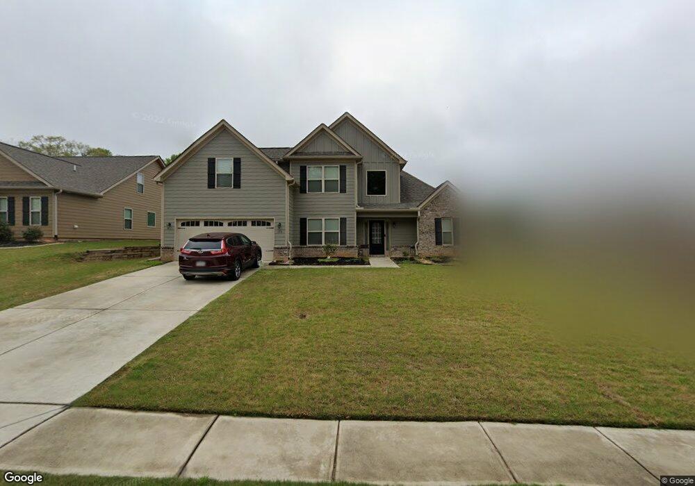
126 Kensington Trace Unit 45 Bethlehem, GA 30620
Estimated Value: $399,000 - $425,000
4
Beds
3
Baths
2,580
Sq Ft
$159/Sq Ft
Est. Value
About This Home
This home is located at 126 Kensington Trace Unit 45, Bethlehem, GA 30620 and is currently estimated at $409,404, approximately $158 per square foot. 126 Kensington Trace Unit 45 is a home located in Barrow County with nearby schools including Yargo Elementary School, Haymon-Morris Middle School, and Apalachee High School.
Ownership History
Date
Name
Owned For
Owner Type
Purchase Details
Closed on
Sep 3, 2024
Sold by
Agent Cruz Lesly Y
Bought by
Carter Norris and Carter Christina Norris
Current Estimated Value
Home Financials for this Owner
Home Financials are based on the most recent Mortgage that was taken out on this home.
Original Mortgage
$275,000
Outstanding Balance
$271,642
Interest Rate
6.47%
Mortgage Type
New Conventional
Estimated Equity
$137,762
Purchase Details
Closed on
Aug 13, 2018
Sold by
Reynolds Realty Construction Llc
Bought by
Agent Robert R and Agent Cruz Lesly Y
Home Financials for this Owner
Home Financials are based on the most recent Mortgage that was taken out on this home.
Original Mortgage
$214,900
Interest Rate
4.5%
Mortgage Type
New Conventional
Create a Home Valuation Report for This Property
The Home Valuation Report is an in-depth analysis detailing your home's value as well as a comparison with similar homes in the area
Home Values in the Area
Average Home Value in this Area
Purchase History
| Date | Buyer | Sale Price | Title Company |
|---|---|---|---|
| Carter Norris | $400,000 | -- | |
| Agent Robert R | $223,900 | -- |
Source: Public Records
Mortgage History
| Date | Status | Borrower | Loan Amount |
|---|---|---|---|
| Open | Carter Norris | $275,000 | |
| Previous Owner | Agent Robert R | $214,900 |
Source: Public Records
Tax History Compared to Growth
Tax History
| Year | Tax Paid | Tax Assessment Tax Assessment Total Assessment is a certain percentage of the fair market value that is determined by local assessors to be the total taxable value of land and additions on the property. | Land | Improvement |
|---|---|---|---|---|
| 2024 | $3,945 | $159,062 | $30,000 | $129,062 |
| 2023 | $4,372 | $153,262 | $23,600 | $129,662 |
| 2022 | $3,559 | $124,586 | $23,600 | $100,986 |
| 2021 | $2,875 | $95,820 | $18,000 | $77,820 |
| 2020 | $2,809 | $92,850 | $18,000 | $74,850 |
| 2019 | $2,793 | $92,850 | $18,000 | $74,850 |
| 2018 | $290 | $9,600 | $9,600 | $0 |
Source: Public Records
Map
Nearby Homes
- 117 Kensington Trace
- Lancaster Plan at The Estates at Casteel
- Buckley Plan at The Estates at Casteel
- Cardiff Plan at The Estates at Casteel
- Pearson Plan at The Estates at Casteel
- Savoy Plan at The Estates at Casteel
- Hampstead Plan at The Estates at Casteel
- 50 Gillis Ln
- 349 Silverleaf Trail
- 362 Silverleaf Trail
- 334 Silverleaf Trail
- 308 Silverleaf Trail
- 320 Silverleaf Trail
- 294 Silverleaf Trail
- 348 Silverleaf Trail
- 280 Silverleaf Trail
- 268 Silverleaf Trail
- 524 Otway Loop
- 222 Long Dr
- 173 Hynes St
- 126 Kensington Trace
- 140 Kensington Trace Unit 44
- 96 Kensington Trace Unit 47
- 154 Kensington Trace Unit 43
- 1025 Ben Johnson Rd
- 168 Kensington Trace
- 159 Kensington Trace
- 168 Kensington Trace Unit 42
- 168 Kensington Trace
- 131 Kensington Trace Unit 10
- 145 Kensington Trace Unit 11
- 117 Kensington Trace Unit 9
- 72 Kensington Trace Unit 48
- 159 Kensington Trace Unit 12
- 159 Kensington Trace
- 101 Kensington Trace Unit 8
- 101 Kensington Trace
- 101 Kensington Trace
- 101 Kensington Trace
- 180 Kensington Trace Unit 41