126 Kingfisher Ln Westbrook, CT 06498
Estimated Value: $761,000 - $947,000
5
Beds
5
Baths
2,308
Sq Ft
$372/Sq Ft
Est. Value
About This Home
This home is located at 126 Kingfisher Ln, Westbrook, CT 06498 and is currently estimated at $858,549, approximately $371 per square foot. 126 Kingfisher Ln is a home located in Middlesex County with nearby schools including Daisy Ingraham School, Westbrook Middle School, and Westbrook High School.
Ownership History
Date
Name
Owned For
Owner Type
Purchase Details
Closed on
Feb 28, 1994
Sold by
King Donna E
Bought by
Pitt Alfred R and Brousseau Michael P
Current Estimated Value
Home Financials for this Owner
Home Financials are based on the most recent Mortgage that was taken out on this home.
Original Mortgage
$120,000
Interest Rate
7.25%
Mortgage Type
Purchase Money Mortgage
Create a Home Valuation Report for This Property
The Home Valuation Report is an in-depth analysis detailing your home's value as well as a comparison with similar homes in the area
Home Values in the Area
Average Home Value in this Area
Purchase History
| Date | Buyer | Sale Price | Title Company |
|---|---|---|---|
| Pitt Alfred R | $209,500 | -- |
Source: Public Records
Mortgage History
| Date | Status | Borrower | Loan Amount |
|---|---|---|---|
| Open | Pitt Alfred R | $105,000 | |
| Closed | Pitt Alfred R | $120,000 |
Source: Public Records
Tax History Compared to Growth
Tax History
| Year | Tax Paid | Tax Assessment Tax Assessment Total Assessment is a certain percentage of the fair market value that is determined by local assessors to be the total taxable value of land and additions on the property. | Land | Improvement |
|---|---|---|---|---|
| 2025 | $8,099 | $359,940 | $205,130 | $154,810 |
| 2024 | $7,811 | $359,940 | $205,130 | $154,810 |
| 2023 | $7,674 | $359,940 | $205,130 | $154,810 |
| 2022 | $7,472 | $359,940 | $205,130 | $154,810 |
| 2021 | $6,544 | $261,770 | $124,320 | $137,450 |
| 2020 | $6,544 | $261,770 | $124,320 | $137,450 |
| 2019 | $6,458 | $261,770 | $124,320 | $137,450 |
| 2018 | $6,379 | $261,770 | $124,320 | $137,450 |
| 2017 | $6,379 | $261,770 | $124,320 | $137,450 |
| 2016 | $5,286 | $228,420 | $83,920 | $144,500 |
| 2015 | $5,142 | $228,420 | $83,920 | $144,500 |
| 2014 | $4,977 | $228,420 | $83,920 | $144,500 |
Source: Public Records
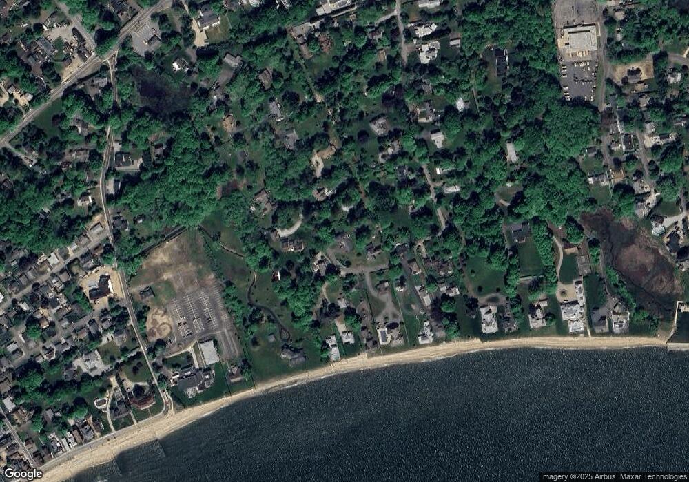
Map
Nearby Homes
- 49 Seaside Ave
- 166 Fiske Ln
- 912 Boston Post Rd
- 41 Trolley Rd
- 29 Salt Island Rd
- 610 Marina Way Landing Unit 610
- 1110 Old Clinton Rd
- 30 Dowd Rd
- 951 Old Clinton Rd Unit 15
- 155 Fawn Hill Dr
- 0 Boston Post Rd Unit 24080344
- 11a/11b Pond Circle Rd
- 87 McVeagh Rd
- 8 Cook Terrace
- 86 Grove Beach Rd N
- 51 Linden Ave N
- 254 Hidden Cove Rd
- 118 Sandy Point Rd
- 321 Old Clinton Rd
- 821 Essex Rd
- 154 Kingfisher Ln
- 133 Kingfisher Ln
- 114 Kingfisher Ln
- 115 Kingfisher Ln
- 165 Kingfisher Ln Unit A
- 165 Kingfisher Ln Unit B
- 165 Kingfisher Ln
- 104 Kingfisher Ln
- 139 Magna Ln
- 143 Kingfisher Ln
- 121 Magna Ln
- 137 Kingfisher Ln
- 176 Magna Ln
- 91 Kingfisher Ln
- 141 Kingfisher Ln
- 94 Kingfisher Ln
- 107 Magna Ln
- 167 Kingfisher Ln
- 94 Seaside Ave
- 163 Kingfisher Ln