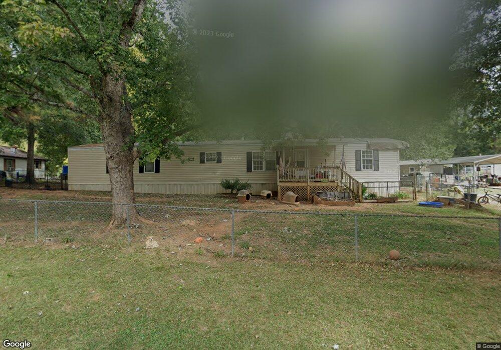
126 Lighthouse Rd Walhalla, SC 29691
Estimated Value: $84,000 - $201,000
Studio
--
Bath
1,216
Sq Ft
$98/Sq Ft
Est. Value
About This Home
This home is located at 126 Lighthouse Rd, Walhalla, SC 29691 and is currently estimated at $119,576, approximately $98 per square foot. 126 Lighthouse Rd is a home with nearby schools including Walhalla Elementary School, Walhalla Middle School, and Walhalla High School.
Ownership History
Date
Name
Owned For
Owner Type
Purchase Details
Closed on
Jul 19, 2019
Sold by
Leroy Kenneth A
Bought by
Leroy Crystal R
Current Estimated Value
Purchase Details
Closed on
Sep 26, 2013
Sold by
Perez Ernesto
Bought by
Leroy Cyrstal R and Leroy Kenneth A
Purchase Details
Closed on
Apr 9, 2010
Sold by
Salome Samuel V and Salome Samuel Valzaquez
Bought by
Perez Ernesto
Create a Home Valuation Report for This Property
The Home Valuation Report is an in-depth analysis detailing your home's value as well as a comparison with similar homes in the area
Home Values in the Area
Average Home Value in this Area
Purchase History
| Date | Buyer | Sale Price | Title Company |
|---|---|---|---|
| Leroy Crystal R | -- | None Available | |
| Leroy Cyrstal R | $28,000 | -- | |
| Perez Ernesto | $21,071 | -- |
Source: Public Records
Mortgage History
| Date | Status | Borrower | Loan Amount |
|---|---|---|---|
| Closed | Perez Ernesto | $0 |
Source: Public Records
Tax History
| Year | Tax Paid | Tax Assessment Tax Assessment Total Assessment is a certain percentage of the fair market value that is determined by local assessors to be the total taxable value of land and additions on the property. | Land | Improvement |
|---|---|---|---|---|
| 2025 | $83 | $788 | $170 | $618 |
| 2024 | $83 | $788 | $170 | $618 |
| 2023 | $84 | $788 | $170 | $618 |
| 2022 | $84 | $788 | $170 | $618 |
| 2021 | $95 | $853 | $235 | $618 |
| 2020 | $95 | $853 | $235 | $618 |
| 2019 | $95 | $0 | $0 | $0 |
| 2018 | $284 | $0 | $0 | $0 |
| 2017 | $366 | $0 | $0 | $0 |
| 2016 | $366 | $0 | $0 | $0 |
| 2015 | -- | $0 | $0 | $0 |
| 2014 | -- | $1,703 | $542 | $1,161 |
| 2013 | -- | $0 | $0 | $0 |
Source: Public Records
Map
Nearby Homes
- 606 N Poplar St
- 223 N Dogwood Dr
- Tract B Bobolink Dr
- 101 Hazelwood Way
- 384 E Woodland Dr
- 00 N Church St
- 804 W North Broad St
- 00 W North Broad St
- 308 Wildwood Rd
- 00 Abbott Ln
- 107 S Laurel St
- 109 S Laurel St
- 606 W South Broad St
- 324 Fox Run Rd
- 221 Cub Cove Dr
- 00 Fox Run Rd
- 323 Fox Run Rd
- Lot 57 Fox Run Rd
- 229 Cub Cove Dr
- 147 White Oak St
- 132 Lighthouse Rd
- 122 Lighthouse Rd
- ' Lighthouse Rd
- 133 Lighthouse Rd
- 115 Lighthouse Rd
- 517 N Poplar St
- 102 Bonnie Brae Ln
- 111 Hayley Dr
- 106 Bonnie Brae Ln
- 106 Bonnie Brae Ln
- 102 Lighthouse Rd
- 181 Lighthouse Rd
- 439 N Poplar St
- 605 N Poplar St
- 180 Lighthouse Rd
- 528 S Lovingood Ave
- 233 N Dogwood Dr
- 112 Hayley Dr
- 110 Bonnie Brae Ln
- 433 N Poplar St
Your Personal Tour Guide
Ask me questions while you tour the home.