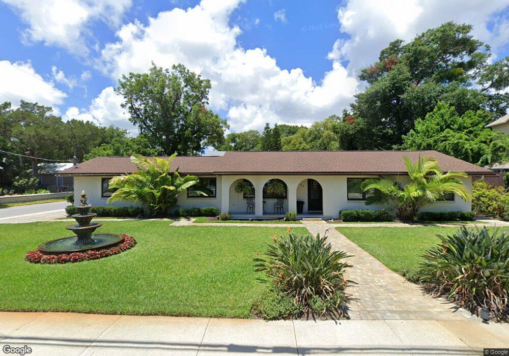
126 M l King Ave Saint Augustine, FL 32084
Lincolnville NeighborhoodEstimated Value: $668,000 - $862,000
3
Beds
3
Baths
1,777
Sq Ft
$431/Sq Ft
Est. Value
About This Home
This home is located at 126 M l King Ave, Saint Augustine, FL 32084 and is currently estimated at $765,124, approximately $430 per square foot. 126 M l King Ave is a home located in St. Johns County with nearby schools including Ketterlinus Elementary School, Sebastian Middle School, and St. Augustine High School.
Ownership History
Date
Name
Owned For
Owner Type
Purchase Details
Closed on
Oct 27, 2017
Sold by
Bilingslea Deidre Patrice and Bilingslea Deidre Patrice
Bought by
Brittain Jill and Magri Peter M
Current Estimated Value
Home Financials for this Owner
Home Financials are based on the most recent Mortgage that was taken out on this home.
Original Mortgage
$271,050
Outstanding Balance
$227,007
Interest Rate
3.83%
Mortgage Type
New Conventional
Estimated Equity
$538,117
Purchase Details
Closed on
Mar 1, 2017
Bought by
Jenkins Family Trust
Create a Home Valuation Report for This Property
The Home Valuation Report is an in-depth analysis detailing your home's value as well as a comparison with similar homes in the area
Home Values in the Area
Average Home Value in this Area
Purchase History
| Date | Buyer | Sale Price | Title Company |
|---|---|---|---|
| Brittain Jill | $320,000 | Lion Title Llc | |
| Jenkins Family Trust | -- | -- |
Source: Public Records
Mortgage History
| Date | Status | Borrower | Loan Amount |
|---|---|---|---|
| Open | Brittain Jill | $271,050 |
Source: Public Records
Tax History Compared to Growth
Tax History
| Year | Tax Paid | Tax Assessment Tax Assessment Total Assessment is a certain percentage of the fair market value that is determined by local assessors to be the total taxable value of land and additions on the property. | Land | Improvement |
|---|---|---|---|---|
| 2025 | $7,219 | $439,908 | -- | -- |
| 2024 | $7,219 | $427,510 | -- | -- |
| 2023 | $7,219 | $415,058 | $0 | $0 |
| 2022 | $7,008 | $402,969 | $0 | $0 |
| 2021 | $6,917 | $391,232 | $0 | $0 |
| 2020 | $8,032 | $403,194 | $0 | $0 |
| 2019 | $7,337 | $357,307 | $0 | $0 |
| 2018 | $6,988 | $338,341 | $0 | $0 |
| 2017 | $7,246 | $347,535 | $200,491 | $147,044 |
| 2016 | $6,837 | $321,082 | $0 | $0 |
| 2015 | $1,285 | $256,336 | $0 | $0 |
| 2014 | $1,284 | $97,895 | $0 | $0 |
Source: Public Records
Map
Nearby Homes
- 127 Martin Luther King Ave
- 103A Kings Ferry Way
- 114 Martin Luther King Ave
- 118 Twine St
- 122 Twine St
- 112 A Martin Luther King Ave
- 72 Lincoln St
- 136 Washington St
- 135 Blanco St
- 141 Blanco St
- 142 Washington St
- 110,134 Moore Street & 160 Blanco
- 118 Pomar St
- 251 Riberia St
- 110 Moore St
- 237 Riberia St
- 239 Riberia St
- 152 Martin Luther King Ave Unit A
- 71 Park Place
- 143 Washington St
- 124 M l King Ave
- 40 Lovett St
- 0 Lovett St
- 42 Lovett St
- 107 Lincoln St
- 122 M l King Ave
- 125 M l King Ave
- 127 M l King Ave
- 127 Martin Luther King Ave Ave
- 27 Lovett St
- 123 M l King Ave
- 44 Lovett St
- 109 Lincoln St
- 41 Lovett St
- 121 M l King Ave
- 0 Lincoln St
- 117 Twine St
- 111 Lincoln St
- 120 Martin Luther King Ave