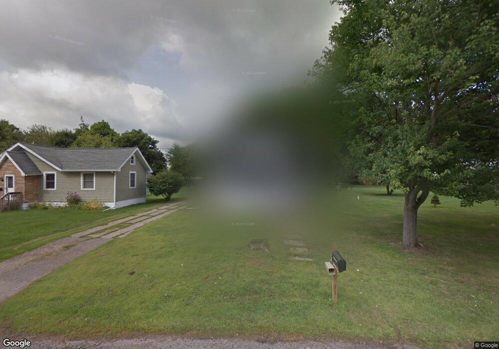
126 Maple Rd Michigan Center, MI 49254
Estimated Value: $165,000 - $196,000
3
Beds
1
Bath
1,232
Sq Ft
$145/Sq Ft
Est. Value
About This Home
This home is located at 126 Maple Rd, Michigan Center, MI 49254 and is currently estimated at $179,144, approximately $145 per square foot. 126 Maple Rd is a home located in Jackson County with nearby schools including Keicher Elementary School, Arnold Elementary School, and Michigan Center Junior/Senior High School.
Ownership History
Date
Name
Owned For
Owner Type
Purchase Details
Closed on
Mar 31, 2004
Sold by
Smalley Edward and Smalley Elaine
Bought by
Gallaway Ryan P and Gallaway Christie
Current Estimated Value
Home Financials for this Owner
Home Financials are based on the most recent Mortgage that was taken out on this home.
Original Mortgage
$94,800
Outstanding Balance
$44,581
Interest Rate
5.65%
Mortgage Type
Purchase Money Mortgage
Estimated Equity
$134,563
Purchase Details
Closed on
Jan 17, 2001
Sold by
Hammond Eleanor M
Bought by
Smalley Edward
Home Financials for this Owner
Home Financials are based on the most recent Mortgage that was taken out on this home.
Original Mortgage
$82,744
Interest Rate
7.58%
Mortgage Type
FHA
Purchase Details
Closed on
Mar 18, 1997
Sold by
Hammond Samuel and Hammond Eleanor M
Bought by
Hammond, Eleanor M Tr
Create a Home Valuation Report for This Property
The Home Valuation Report is an in-depth analysis detailing your home's value as well as a comparison with similar homes in the area
Home Values in the Area
Average Home Value in this Area
Purchase History
| Date | Buyer | Sale Price | Title Company |
|---|---|---|---|
| Gallaway Ryan P | $99,900 | At | |
| Smalley Edward | $83,400 | -- | |
| Hammond, Eleanor M Tr | -- | -- |
Source: Public Records
Mortgage History
| Date | Status | Borrower | Loan Amount |
|---|---|---|---|
| Open | Gallaway Ryan P | $94,800 | |
| Previous Owner | Smalley Edward | $82,744 |
Source: Public Records
Tax History Compared to Growth
Tax History
| Year | Tax Paid | Tax Assessment Tax Assessment Total Assessment is a certain percentage of the fair market value that is determined by local assessors to be the total taxable value of land and additions on the property. | Land | Improvement |
|---|---|---|---|---|
| 2025 | $1,408 | $80,603 | $0 | $0 |
| 2024 | $835 | $75,967 | $0 | $0 |
| 2023 | $796 | $70,043 | $0 | $0 |
| 2022 | $1,282 | $56,219 | $0 | $0 |
| 2021 | $1,264 | $49,331 | $0 | $0 |
| 2020 | $1,255 | $46,676 | $0 | $0 |
| 2019 | $1,214 | $39,704 | $0 | $0 |
| 2018 | $1,182 | $43,596 | $8,896 | $34,700 |
| 2017 | $1,111 | $44,598 | $0 | $0 |
| 2016 | $676 | $43,627 | $43,627 | $0 |
| 2015 | -- | $36,905 | $36,905 | $0 |
| 2014 | -- | $37,785 | $37,785 | $0 |
| 2013 | -- | $37,785 | $37,785 | $0 |
Source: Public Records
Map
Nearby Homes
- 241 Stillwell Ave
- 240 Stillwell Ave
- VL Stillwell Ave
- 423 Grand St
- 448 Grand St
- 149 Hall St
- 413 7th St
- 0 Ninth St Unit 50176647
- 188 Cherry St
- 531 8th St
- 0 Page Ave Unit 23140008
- 114 W Grove Ave
- 210 W Grove Ave
- VL S Sutton Rd
- 0 Huggins Unit 25000799
- 5030 Huggins Rd
- 4075 Flansburg Rd
- 3628 Ford Ave
- 4434 Allison Dr
- 430 Jefferson Dr