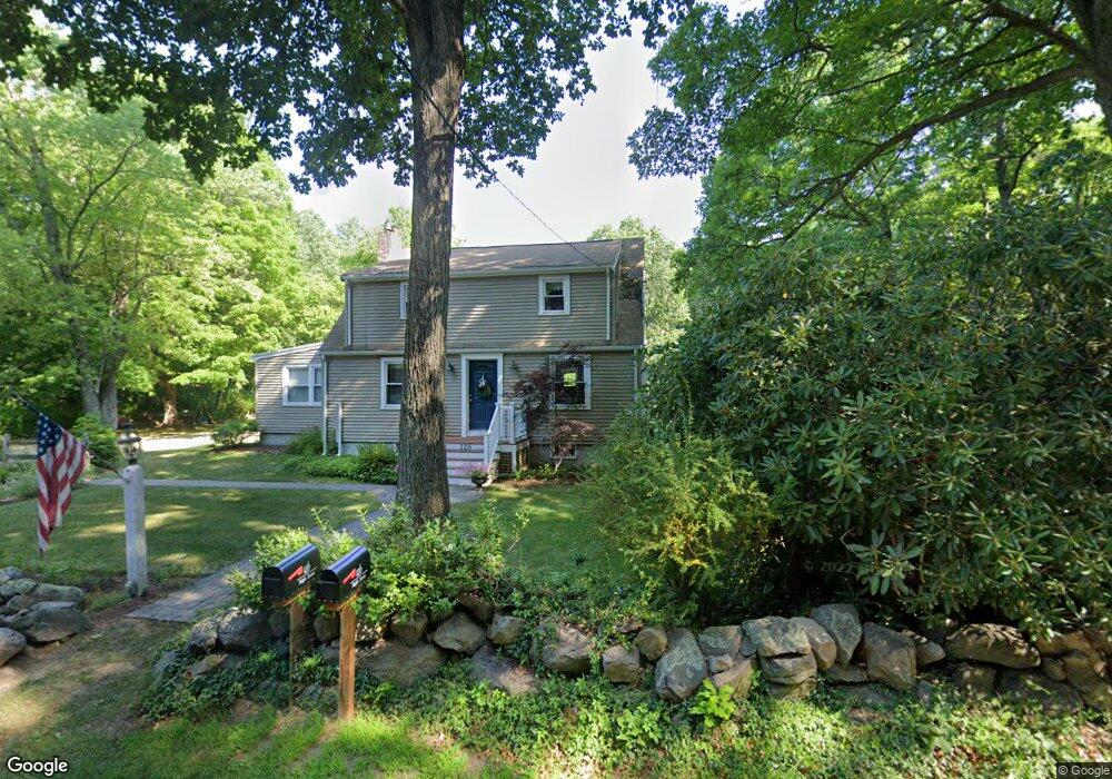
126 Maple St Sherborn, MA 01770
Estimated Value: $896,271 - $961,000
3
Beds
2
Baths
1,850
Sq Ft
$500/Sq Ft
Est. Value
About This Home
This home is located at 126 Maple St, Sherborn, MA 01770 and is currently estimated at $925,068, approximately $500 per square foot. 126 Maple St is a home located in Middlesex County with nearby schools including Pine Hill Elementary School, Dover-Sherborn Regional Middle School, and Dover-Sherborn Regional High School.
Ownership History
Date
Name
Owned For
Owner Type
Purchase Details
Closed on
Sep 19, 2019
Sold by
Foster Alexander J and Foster Kathleen S
Bought by
A J & K S Foster Ret
Current Estimated Value
Purchase Details
Closed on
Nov 6, 1996
Sold by
Davis Millard H and Davis Ruth
Bought by
Foster Alexander J and Sullivan Kathleen P
Home Financials for this Owner
Home Financials are based on the most recent Mortgage that was taken out on this home.
Original Mortgage
$207,000
Interest Rate
8.1%
Mortgage Type
Purchase Money Mortgage
Create a Home Valuation Report for This Property
The Home Valuation Report is an in-depth analysis detailing your home's value as well as a comparison with similar homes in the area
Home Values in the Area
Average Home Value in this Area
Purchase History
| Date | Buyer | Sale Price | Title Company |
|---|---|---|---|
| A J & K S Foster Ret | -- | -- | |
| Foster Alexander J | $230,000 | -- |
Source: Public Records
Mortgage History
| Date | Status | Borrower | Loan Amount |
|---|---|---|---|
| Previous Owner | Foster Alexander J | $203,600 | |
| Previous Owner | Foster Alexander J | $207,000 |
Source: Public Records
Tax History
| Year | Tax Paid | Tax Assessment Tax Assessment Total Assessment is a certain percentage of the fair market value that is determined by local assessors to be the total taxable value of land and additions on the property. | Land | Improvement |
|---|---|---|---|---|
| 2025 | $13,354 | $805,400 | $456,100 | $349,300 |
| 2024 | $12,443 | $734,100 | $393,000 | $341,100 |
| 2023 | $12,479 | $692,900 | $393,000 | $299,900 |
| 2022 | $11,880 | $624,300 | $381,000 | $243,300 |
| 2021 | $11,187 | $569,900 | $381,000 | $188,900 |
| 2020 | $10,629 | $546,200 | $381,000 | $165,200 |
| 2019 | $10,251 | $522,500 | $381,000 | $141,500 |
| 2018 | $10,084 | $522,500 | $381,000 | $141,500 |
| 2017 | $10,289 | $502,900 | $381,000 | $121,900 |
| 2016 | $9,820 | $477,400 | $357,900 | $119,500 |
| 2015 | $9,502 | $467,600 | $347,500 | $120,100 |
| 2014 | $9,068 | $445,800 | $334,800 | $111,000 |
Source: Public Records
Map
Nearby Homes
- 15 Wildwood Dr
- 90 Maple St
- 9 Adams Ln Unit 9
- 41 Ivy Ln
- 1 Adams Ln Unit 1
- 81 Brush Hill Rd
- 5 Farm Rd
- 615 Mayflower Landing
- 14 Sewall Brook Ln
- 363 Eliot St
- 18 Sherborne Cir
- 65 Farm Road Lot 6
- 306 Trailside Way
- 1 Danforth Dr
- 241 Trailside Way
- 20 Nason Hill Rd
- 3 Danforth Dr
- 174 S Main St
- 32 Cider Hill Ln
- 59 Brooksmont Dr Unit 59
Your Personal Tour Guide
Ask me questions while you tour the home.