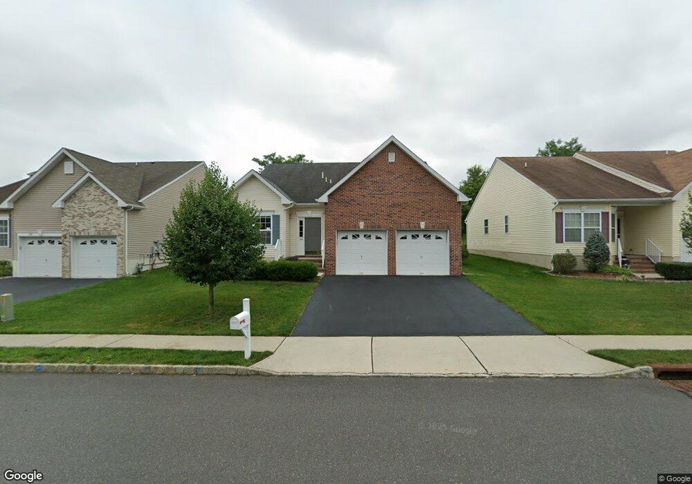
126 Maypink Ln Howell, NJ 07731
Ramtown NeighborhoodEstimated Value: $558,000 - $616,000
3
Beds
2
Baths
1,794
Sq Ft
$327/Sq Ft
Est. Value
About This Home
This home is located at 126 Maypink Ln, Howell, NJ 07731 and is currently estimated at $586,047, approximately $326 per square foot. 126 Maypink Ln is a home with nearby schools including Ramtown School, Greenville School, and Howell Township Middle School South.
Ownership History
Date
Name
Owned For
Owner Type
Purchase Details
Closed on
Mar 10, 2015
Sold by
Pine View Estates Llc
Bought by
Mcquade Michael J
Current Estimated Value
Home Financials for this Owner
Home Financials are based on the most recent Mortgage that was taken out on this home.
Original Mortgage
$230,000
Interest Rate
3.86%
Mortgage Type
New Conventional
Create a Home Valuation Report for This Property
The Home Valuation Report is an in-depth analysis detailing your home's value as well as a comparison with similar homes in the area
Home Values in the Area
Average Home Value in this Area
Purchase History
| Date | Buyer | Sale Price | Title Company |
|---|---|---|---|
| Mcquade Michael J | $288,178 | Mid State Abstract Co |
Source: Public Records
Mortgage History
| Date | Status | Borrower | Loan Amount |
|---|---|---|---|
| Previous Owner | Mcquade Michael J | $230,000 |
Source: Public Records
Tax History Compared to Growth
Tax History
| Year | Tax Paid | Tax Assessment Tax Assessment Total Assessment is a certain percentage of the fair market value that is determined by local assessors to be the total taxable value of land and additions on the property. | Land | Improvement |
|---|---|---|---|---|
| 2025 | $9,238 | $533,200 | $236,200 | $297,000 |
| 2024 | $8,791 | $521,600 | $236,200 | $285,400 |
| 2023 | $8,791 | $472,900 | $191,200 | $281,700 |
| 2022 | $8,235 | $390,200 | $116,200 | $274,000 |
| 2021 | $8,235 | $359,900 | $116,200 | $243,700 |
| 2020 | $8,323 | $359,700 | $116,200 | $243,500 |
| 2019 | $8,218 | $348,500 | $106,200 | $242,300 |
| 2018 | $7,755 | $327,200 | $96,200 | $231,000 |
| 2017 | $7,481 | $312,100 | $81,200 | $230,900 |
| 2016 | $7,119 | $293,200 | $68,100 | $225,100 |
| 2015 | $6,930 | $63,100 | $63,100 | $0 |
| 2014 | $1,851 | $70,000 | $70,000 | $0 |
Source: Public Records
Map
Nearby Homes
- 21 Silver Maple Ln
- 23 Snowberry Ln
- 50 Little Leaf Ln
- 20 Snowberry Ln
- 24 Little Leaf Ln
- 24 Abraham Dr
- 22 Abraham Dr
- 832 Constitution Dr
- 922 Quincy Dr
- 822 Lexington Dr
- 1233 Herkimer Rd
- 13 Ivy Place
- 11 Desiree Ct
- 2 Maypink Ln
- 15 Bristlecone Dr
- 55 Newtons Corner Rd
- 17 Bristlecone Dr
- 595 Carolina Ave
- 15 Tamarack St
- 131 Briar Mills Dr
- 128 Maypink Ln
- 124 Maypink Ln
- 122 Maypink Ln
- 17 Apple Blossom Ln
- 125 Maypink Ln
- 120 Maypink Ln
- 127 Maypink Ln
- 129 Maypink Ln
- 121 Maypink Ln
- 131 Maypink Ln
- 15 Apple Blossom Ln
- 20 Apple Blossom Ln
- 16 Apple Blossom Ln
- 118 Maypink Ln
- 119 Maypink Ln
- 11 Apple Blossom Ln
- 133 Maypink Ln
- 116 Maypink Ln
- 117 Maypink Ln
- 18 Silver Maple Ln