126 Mount Hunger Shore Rd Windham, ME 04062
Estimated Value: $461,000 - $567,000
2
Beds
1
Bath
1,304
Sq Ft
$384/Sq Ft
Est. Value
About This Home
This home is located at 126 Mount Hunger Shore Rd, Windham, ME 04062 and is currently estimated at $500,385, approximately $383 per square foot. 126 Mount Hunger Shore Rd is a home located in Cumberland County with nearby schools including Manchester School, Windham Primary School, and Windham Middle School.
Ownership History
Date
Name
Owned For
Owner Type
Purchase Details
Closed on
Aug 16, 2021
Sold by
Brown Anita L Est
Bought by
Goslant Albert
Current Estimated Value
Purchase Details
Closed on
Mar 21, 2018
Sold by
Goslant Albert H
Bought by
Weston Thomas E
Purchase Details
Closed on
Dec 31, 2012
Sold by
Brown Anita L and William Brown L
Bought by
Goslant Albert H
Home Financials for this Owner
Home Financials are based on the most recent Mortgage that was taken out on this home.
Original Mortgage
$23,920
Interest Rate
3.38%
Mortgage Type
New Conventional
Purchase Details
Closed on
Aug 30, 2006
Sold by
Goslant Albert H
Bought by
Goslant Albert H and Paulin Janet E
Home Financials for this Owner
Home Financials are based on the most recent Mortgage that was taken out on this home.
Original Mortgage
$146,200
Interest Rate
6.83%
Mortgage Type
Purchase Money Mortgage
Create a Home Valuation Report for This Property
The Home Valuation Report is an in-depth analysis detailing your home's value as well as a comparison with similar homes in the area
Home Values in the Area
Average Home Value in this Area
Purchase History
| Date | Buyer | Sale Price | Title Company |
|---|---|---|---|
| Goslant Albert | -- | None Available | |
| Weston Thomas E | -- | -- | |
| Goslant Albert H | -- | -- | |
| Goslant Albert H | -- | -- |
Source: Public Records
Mortgage History
| Date | Status | Borrower | Loan Amount |
|---|---|---|---|
| Previous Owner | Goslant Albert H | $23,920 | |
| Previous Owner | Goslant Albert H | $146,200 |
Source: Public Records
Tax History Compared to Growth
Tax History
| Year | Tax Paid | Tax Assessment Tax Assessment Total Assessment is a certain percentage of the fair market value that is determined by local assessors to be the total taxable value of land and additions on the property. | Land | Improvement |
|---|---|---|---|---|
| 2024 | $4,634 | $404,000 | $191,300 | $212,700 |
| 2023 | $4,313 | $385,100 | $177,900 | $207,200 |
| 2022 | $3,957 | $340,800 | $156,300 | $184,500 |
| 2021 | $3,566 | $283,000 | $121,800 | $161,200 |
| 2020 | $3,888 | $259,200 | $122,200 | $137,000 |
| 2019 | $13,899 | $259,200 | $122,200 | $137,000 |
| 2018 | $5,801 | $249,700 | $121,600 | $128,100 |
| 2017 | $12,711 | $226,500 | $110,700 | $115,800 |
| 2016 | $5,560 | $226,500 | $110,700 | $115,800 |
| 2015 | $3,431 | $226,500 | $110,700 | $115,800 |
| 2014 | $3,323 | $226,500 | $110,700 | $115,800 |
| 2013 | -- | $226,500 | $110,700 | $115,800 |
Source: Public Records
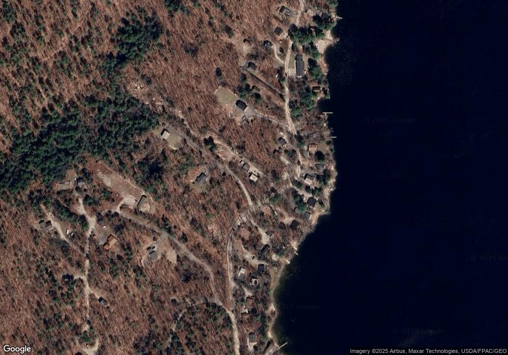
Map
Nearby Homes
- 15 Worcester Dr
- lot #8 Bedrock Terrace
- 99 Enterprise Dr
- 107 Harvest Hill Rd
- 20 Bittersweet Way
- 3 Pride Ln
- 8 Lily Ln
- 1083 Roosevelt Trail
- 36 Whites Bridge Rd Unit 8
- 1042 Roosevelt Trail
- 24 Hillside Dr
- 18 Hillside Dr
- 1 Pine Ln
- 34 Trails End Rd
- 80 Sky Dr
- 14 Sabbady Point Rd
- 1 Matinicus Way Unit 1
- 56 Qualey Rd
- 19 Abby Rd
- 219 Tandberg Trail
- 136 Mount Hunger Shore Rd
- 138 Mount Hunger Shore Rd
- 4 Derby Dr
- 4 Derby Dr
- 4 Derby Dr
- 4 Derby Dr
- 4 Derby Dr
- 125 Mount Hunger Shore Rd
- 129 Mount Hunger Shore Rd
- 121 Mount Hunger Shore Rd
- 133 Mount Hunger Shore Rd
- 119 Mount Hunger Shore Rd
- 135 Mount Hunger Shore Rd
- 139 Mount Hunger Shore Rd
- 141 Mount Hunger Shore Rd
- 132 Mount Hunger Shore Rd
- 210 Mount Hunger Shore Rd
- 210 Mount Hunger Shore
- 143 Mount Hunger Shore Rd
- 265 Mount Hunger Shore Rd