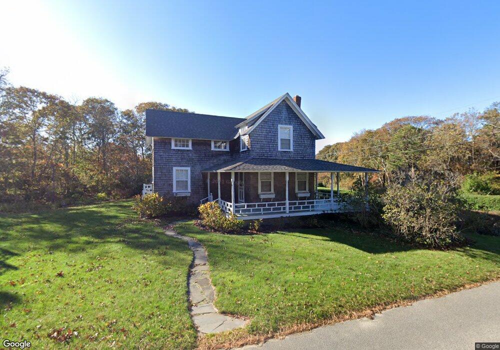
126 Munroe Ave Oak Bluffs, MA 02557
Oak Bluffs NeighborhoodEstimated Value: $1,343,000 - $2,482,000
4
Beds
2
Baths
1,421
Sq Ft
$1,236/Sq Ft
Est. Value
About This Home
This home is located at 126 Munroe Ave, Oak Bluffs, MA 02557 and is currently estimated at $1,756,113, approximately $1,235 per square foot. 126 Munroe Ave is a home with nearby schools including Oak Bluffs Elementary School and Martha's Vineyard Regional High School.
Ownership History
Date
Name
Owned For
Owner Type
Purchase Details
Closed on
Jan 30, 1998
Sold by
Kotek Elizabeth H
Bought by
Mcart Roger and Mcart Sandra
Current Estimated Value
Home Financials for this Owner
Home Financials are based on the most recent Mortgage that was taken out on this home.
Original Mortgage
$260,000
Outstanding Balance
$46,109
Interest Rate
7.02%
Mortgage Type
Purchase Money Mortgage
Estimated Equity
$1,710,004
Create a Home Valuation Report for This Property
The Home Valuation Report is an in-depth analysis detailing your home's value as well as a comparison with similar homes in the area
Home Values in the Area
Average Home Value in this Area
Purchase History
| Date | Buyer | Sale Price | Title Company |
|---|---|---|---|
| Mcart Roger | $295,000 | -- |
Source: Public Records
Mortgage History
| Date | Status | Borrower | Loan Amount |
|---|---|---|---|
| Open | Mcart Roger | $260,000 |
Source: Public Records
Tax History
| Year | Tax Paid | Tax Assessment Tax Assessment Total Assessment is a certain percentage of the fair market value that is determined by local assessors to be the total taxable value of land and additions on the property. | Land | Improvement |
|---|---|---|---|---|
| 2025 | $7,142 | $1,414,300 | $940,100 | $474,200 |
| 2024 | $6,841 | $1,308,100 | $854,400 | $453,700 |
| 2023 | $5,919 | $1,121,000 | $742,800 | $378,200 |
| 2022 | $5,968 | $878,900 | $575,900 | $303,000 |
| 2021 | $5,358 | $727,000 | $438,800 | $288,200 |
| 2020 | $5,108 | $686,600 | $417,900 | $268,700 |
| 2019 | $5,103 | $663,600 | $399,900 | $263,700 |
| 2018 | $5,338 | $681,800 | $395,400 | $286,400 |
| 2017 | $5,265 | $646,000 | $384,900 | $261,100 |
| 2016 | $5,202 | $641,400 | $396,800 | $244,600 |
| 2015 | $4,960 | $623,100 | $396,800 | $226,300 |
| 2014 | $5,205 | $666,400 | $400,600 | $265,800 |
Source: Public Records
Map
Nearby Homes
- 6 Brewster Ave
- 150 E Chop Dr
- 5 Temahigan Ave Unit 4-139-0
- 12 & 14 Maple Ave
- 35 New York Ave
- 25 Hampson Ave
- 24 Towanticut Ave Unit 188
- 10 Siloam Ave
- 22 Montgomery Square
- 2 Lincoln Ave
- 24 School St
- 33 Ocean Ave
- 34 Windemere Rd
- 1 Cottage Park
- 56 Garvin St
- 38 Rogers Way
- 112 Dukes County Ave Unit 209
- 112 Dukes County Ave
- 113 Dukes County Ave Unit Multi-Family
- 26 Winthrop Ave
- 132 Munroe Ave
- 125 Munroe Ave
- 2 Sandy Bluff Ln
- 120 Munroe Ave
- 28 Atlantic Ave
- 117 Munroe Ave
- 23 Green Ave
- 25 Green Ave
- 25 Atlantic Ave
- 142 Munroe Ave
- 53 West Ave
- 25 Atlantic Ave
- 143 Munroe Ave
- 25 & 27 Lexington Ave
- 15 Green Ave
- 15 Green Ave
- 25 & 27 Lexington Ave
- 25 Lexington Ave
- 23 Atlantic Ave
- 220 E Chop Dr
Your Personal Tour Guide
Ask me questions while you tour the home.