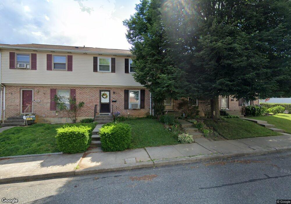
126 N 7th St Emmaus, PA 18049
Estimated Value: $237,112 - $317,000
3
Beds
1
Bath
1,220
Sq Ft
$224/Sq Ft
Est. Value
About This Home
This home is located at 126 N 7th St, Emmaus, PA 18049 and is currently estimated at $273,278, approximately $223 per square foot. 126 N 7th St is a home located in Lehigh County with nearby schools including Jefferson Elementary School, Lower Macungie Middle School, and Emmaus High School.
Ownership History
Date
Name
Owned For
Owner Type
Purchase Details
Closed on
Jun 12, 1995
Sold by
Swoyer Jr Clifford R and Swoyer Suzanne M
Bought by
Bubernack Bubernack G and Bubernack Fusun
Current Estimated Value
Purchase Details
Closed on
Aug 22, 1983
Sold by
Arthur P Houser Inc
Bought by
Swoyer Clifford R and Swoyer Suzanne M
Purchase Details
Closed on
Jan 14, 1977
Bought by
Arthur P Houser Inc
Create a Home Valuation Report for This Property
The Home Valuation Report is an in-depth analysis detailing your home's value as well as a comparison with similar homes in the area
Home Values in the Area
Average Home Value in this Area
Purchase History
| Date | Buyer | Sale Price | Title Company |
|---|---|---|---|
| Bubernack Bubernack G | $80,000 | -- | |
| Swoyer Clifford R | $48,500 | -- | |
| Arthur P Houser Inc | -- | -- |
Source: Public Records
Tax History Compared to Growth
Tax History
| Year | Tax Paid | Tax Assessment Tax Assessment Total Assessment is a certain percentage of the fair market value that is determined by local assessors to be the total taxable value of land and additions on the property. | Land | Improvement |
|---|---|---|---|---|
| 2025 | $3,632 | $103,100 | $8,300 | $94,800 |
| 2024 | $3,327 | $103,100 | $8,300 | $94,800 |
| 2023 | $3,262 | $103,100 | $8,300 | $94,800 |
| 2022 | $3,154 | $103,100 | $94,800 | $8,300 |
| 2021 | $3,075 | $103,100 | $8,300 | $94,800 |
| 2020 | $3,049 | $103,100 | $8,300 | $94,800 |
| 2019 | $2,967 | $103,100 | $8,300 | $94,800 |
| 2018 | $2,856 | $103,100 | $8,300 | $94,800 |
| 2017 | $2,768 | $103,100 | $8,300 | $94,800 |
| 2016 | -- | $103,100 | $8,300 | $94,800 |
| 2015 | -- | $103,100 | $8,300 | $94,800 |
| 2014 | -- | $103,100 | $8,300 | $94,800 |
Source: Public Records
Map
Nearby Homes
- 657 Walnut St
- 543 Long St
- 569 Chestnut St Unit 571
- 659 Broad St
- 618 Broad St
- 120 N 2nd St
- 118 N 2nd St
- 521 Wood St
- 4109 Eveningstar Rd
- 3430 Gentlewind Way Unit IC 109
- 339 Delong Ave Unit 343
- 4088 Eveningstar Rd
- 101 E George St
- 97 Chestnut Hill Rd
- 3623 Daylily Dr
- 558 Beechwood St
- 3810 Allen St
- 3186 Overlook Dr
- 3601 Country Club Rd
- 3703 Samantha Ln Unit Lot 70
- 124 N 7th St
- 128 N 7th St
- 122 N 7th St
- 130 N 7th St
- 120 N 7th St
- 121 MacUngie Ave
- 115 MacUngie Ave
- 123 MacUngie Ave
- 202 N 7th St Unit 204
- 680 Ridge St
- 672 Ridge St
- 109 MacUngie Ave
- 681 Ridge St
- 681 Ridge St Unit 1
- 208 N 7th St
- 679 Ridge St
- 107 MacUngie Ave
- 679 Walnut St
- 103 MacUngie Ave
- 212 N 7th St