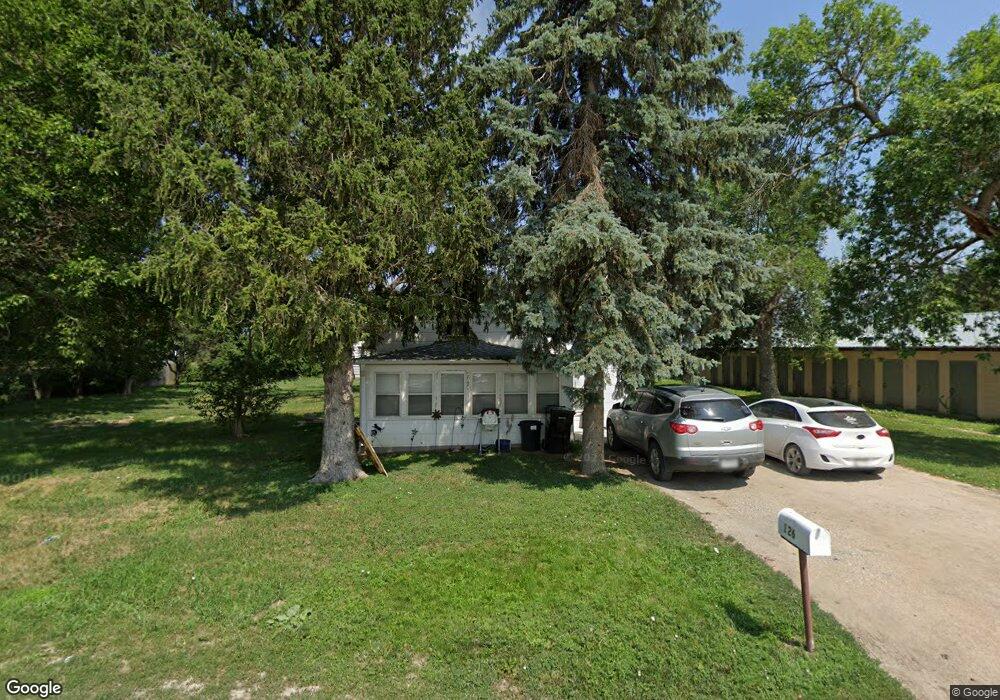
126 N Barnes Ave Hastings, NE 68901
Estimated Value: $116,000 - $148,000
2
Beds
1
Bath
1,005
Sq Ft
$132/Sq Ft
Est. Value
About This Home
This home is located at 126 N Barnes Ave, Hastings, NE 68901 and is currently estimated at $133,024, approximately $132 per square foot. 126 N Barnes Ave is a home located in Adams County with nearby schools including Hastings Senior High School, Zion Lutheran School, and St. Michael's Preschool & Elementary School.
Ownership History
Date
Name
Owned For
Owner Type
Purchase Details
Closed on
Sep 17, 2014
Sold by
Zubrod Ronald C
Bought by
2Wsr Rentals Llc
Current Estimated Value
Home Financials for this Owner
Home Financials are based on the most recent Mortgage that was taken out on this home.
Original Mortgage
$28,800
Outstanding Balance
$22,032
Interest Rate
4.12%
Mortgage Type
Future Advance Clause Open End Mortgage
Estimated Equity
$110,992
Create a Home Valuation Report for This Property
The Home Valuation Report is an in-depth analysis detailing your home's value as well as a comparison with similar homes in the area
Home Values in the Area
Average Home Value in this Area
Purchase History
| Date | Buyer | Sale Price | Title Company |
|---|---|---|---|
| 2Wsr Rentals Llc | $36,000 | Elizabeth Prairie Title |
Source: Public Records
Mortgage History
| Date | Status | Borrower | Loan Amount |
|---|---|---|---|
| Open | 2Wsr Rentals Llc | $28,800 |
Source: Public Records
Tax History Compared to Growth
Tax History
| Year | Tax Paid | Tax Assessment Tax Assessment Total Assessment is a certain percentage of the fair market value that is determined by local assessors to be the total taxable value of land and additions on the property. | Land | Improvement |
|---|---|---|---|---|
| 2024 | $1,519 | $93,398 | $23,353 | $70,045 |
| 2023 | $1,635 | $79,232 | $23,353 | $55,879 |
| 2022 | $1,785 | $79,232 | $23,353 | $55,879 |
| 2021 | $1,636 | $74,608 | $17,680 | $56,928 |
| 2020 | $1,550 | $71,897 | $17,680 | $54,217 |
| 2019 | $1,458 | $68,350 | $17,680 | $50,670 |
| 2018 | $1,343 | $62,620 | $11,950 | $50,670 |
| 2017 | $1,342 | $62,620 | $0 | $0 |
| 2016 | $1,253 | $58,435 | $11,950 | $46,485 |
| 2011 | -- | $0 | $0 | $0 |
Source: Public Records
Map
Nearby Homes
- 1918 W 3rd St
- 502 S Woodland Ave
- 1734 W 2nd St
- 416 Queen City Ave
- 313 Jefferson Ave
- 514 Oswego Ave
- 2200 W 7th St
- 711 Crane Ave
- 1801 W 7th St
- 2301 Bateman Ave
- 1711 W 7th St
- 736 N Barnes Ave
- 401 Sunset Dr
- 2229 W 8th St
- 2616 W 6th St
- 1615 W 7th St
- 1423 W B St
- 1814 Boyce St
- 2521 Boyce St
- 714 N Baltimore Ave
- 142 N Barnes Ave
- 151 N Barnes Ave
- 127 Chestnut Ave
- 135 Chestnut Ave
- 139 Chestnut Ave
- 206 S Woodland Ave
- 149 Chestnut Ave
- 2018 W 2nd St
- 151 Chestnut Ave
- 210 S Woodland Ave Unit 214
- X W South St
- 218 S Woodland Ave
- 154 N Laird Ave
- 142 N Laird Ave
- 124 N Laird Ave
- 148 N Laird Ave
- 108 N Laird Ave
- 2215 W 2nd St
- 150 N Laird Ave
- 1922 W 2nd St