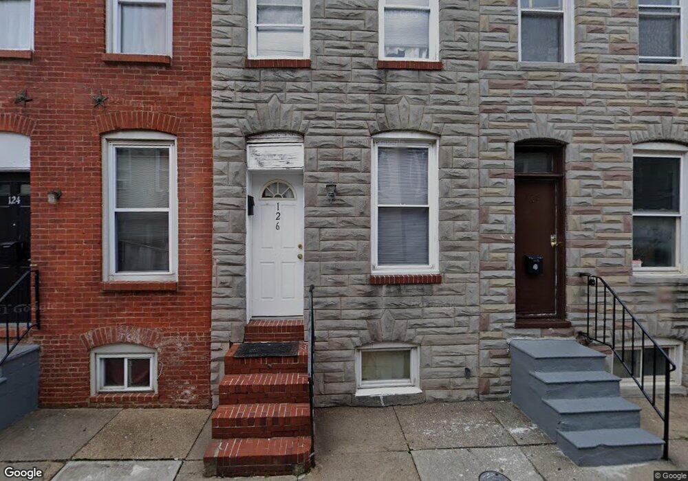
126 N Port St Baltimore, MD 21224
Patterson Place NeighborhoodEstimated Value: $92,000 - $112,044
--
Bed
1
Bath
912
Sq Ft
$112/Sq Ft
Est. Value
About This Home
This home is located at 126 N Port St, Baltimore, MD 21224 and is currently estimated at $102,022, approximately $111 per square foot. 126 N Port St is a home located in Baltimore City with nearby schools including Commodore John Rogers Elementary School, Booker T. Washington Middle School, and Paul Laurence Dunbar High School.
Ownership History
Date
Name
Owned For
Owner Type
Purchase Details
Closed on
Feb 23, 2023
Sold by
Highlandtown V Llc
Bought by
Delaware Limited Liability Company
Current Estimated Value
Purchase Details
Closed on
May 11, 2021
Sold by
Harrijs Jeffrey
Bought by
Highlandtown V Llc
Purchase Details
Closed on
Oct 30, 2009
Sold by
Patterson Park Community
Bought by
Harris Jeffrey
Purchase Details
Closed on
Aug 5, 2002
Sold by
L S K Rentals Inc
Bought by
Patterson Park Community and Development Corporation
Purchase Details
Closed on
Aug 24, 1995
Sold by
Rynes Teresa M
Bought by
L S K Rentals Inc
Create a Home Valuation Report for This Property
The Home Valuation Report is an in-depth analysis detailing your home's value as well as a comparison with similar homes in the area
Home Values in the Area
Average Home Value in this Area
Purchase History
| Date | Buyer | Sale Price | Title Company |
|---|---|---|---|
| Delaware Limited Liability Company | $1,521,676 | None Listed On Document | |
| Highlandtown V Llc | $708,396 | None Available | |
| Harris Jeffrey | $63,000 | -- | |
| Patterson Park Community | $16,600 | -- | |
| L S K Rentals Inc | $2,500 | -- |
Source: Public Records
Tax History Compared to Growth
Tax History
| Year | Tax Paid | Tax Assessment Tax Assessment Total Assessment is a certain percentage of the fair market value that is determined by local assessors to be the total taxable value of land and additions on the property. | Land | Improvement |
|---|---|---|---|---|
| 2025 | $1,456 | $62,000 | $60,000 | $2,000 |
| 2024 | $1,456 | $62,000 | $60,000 | $2,000 |
| 2023 | $1,456 | $62,000 | $60,000 | $2,000 |
| 2022 | $1,463 | $62,000 | $60,000 | $2,000 |
| 2021 | $1,345 | $57,000 | $0 | $0 |
| 2020 | $1,227 | $52,000 | $0 | $0 |
| 2019 | $1,104 | $47,000 | $42,000 | $5,000 |
| 2018 | $1,306 | $55,333 | $0 | $0 |
| 2017 | $1,149 | $48,667 | $0 | $0 |
| 2016 | $1,421 | $42,000 | $0 | $0 |
| 2015 | $1,421 | $84,600 | $0 | $0 |
| 2014 | $1,421 | $64,800 | $0 | $0 |
Source: Public Records
Map
Nearby Homes
- 111 N Port St
- 204 N Port St
- 217 N Port St
- 224 N Port St
- 2322 E Fayette St
- 223 N Port St
- 200 N Rose St
- 224 N Milton Ave
- 138 N Luzerne Ave
- 120 N Luzerne Ave
- 118 N Luzerne Ave
- 146 N Luzerne Ave
- 2419 Orleans St
- 224 N Rose St
- 227 N Rose St
- 244 N Rose St
- 220 N Luzerne Ave
- 32 N Patterson Park Ave
- 207 N Luzerne Ave
- 132 N Glover St