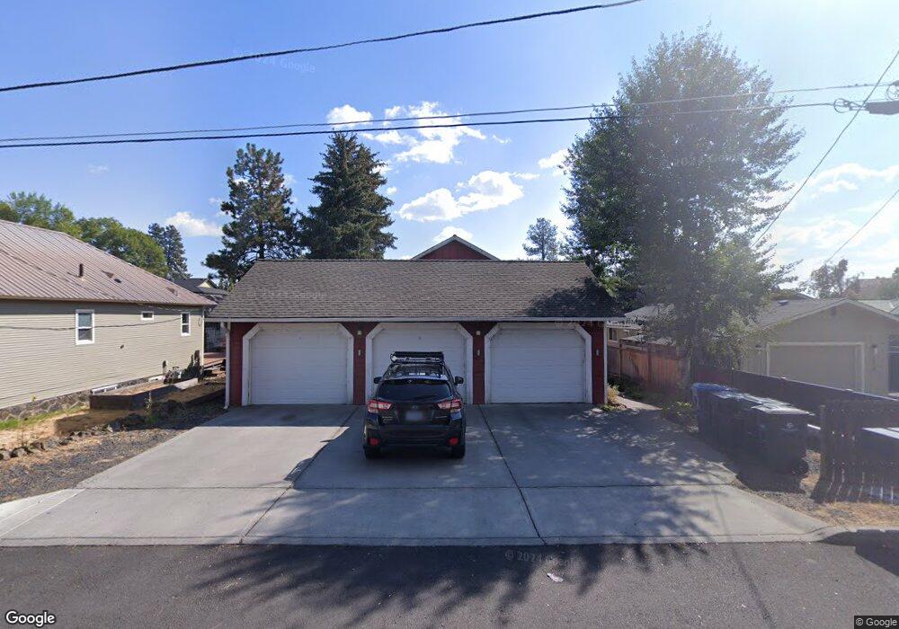
126 NW Adams Pl Bend, OR 97701
Old Bend NeighborhoodEstimated Value: $1,123,000
3
Beds
1
Bath
753
Sq Ft
$1,491/Sq Ft
Est. Value
About This Home
This home is located at 126 NW Adams Pl, Bend, OR 97701 and is currently estimated at $1,123,000, approximately $1,491 per square foot. 126 NW Adams Pl is a home located in Deschutes County with nearby schools including William E. Miller Elementary School, Cascade Middle School, and Summit High School.
Ownership History
Date
Name
Owned For
Owner Type
Purchase Details
Closed on
Dec 6, 2018
Sold by
Craig Otis and Craig Michael O
Bought by
Adams Pl Llc
Current Estimated Value
Purchase Details
Closed on
Mar 16, 2010
Sold by
126 Nw Adams Street Llc
Bought by
Craig Michael O
Purchase Details
Closed on
Jan 18, 2008
Sold by
Craig Michael O and Craig Hilary W
Bought by
126 Nw Adams Street Llc
Purchase Details
Closed on
Feb 4, 2005
Sold by
Craig Michael Otis and Craig Hillary W
Bought by
Craig Properties Llc
Create a Home Valuation Report for This Property
The Home Valuation Report is an in-depth analysis detailing your home's value as well as a comparison with similar homes in the area
Home Values in the Area
Average Home Value in this Area
Purchase History
| Date | Buyer | Sale Price | Title Company |
|---|---|---|---|
| Adams Pl Llc | -- | None Available | |
| Craig Michael O | -- | None Available | |
| 126 Nw Adams Street Llc | -- | None Available | |
| Craig Properties Llc | -- | -- |
Source: Public Records
Tax History
| Year | Tax Paid | Tax Assessment Tax Assessment Total Assessment is a certain percentage of the fair market value that is determined by local assessors to be the total taxable value of land and additions on the property. | Land | Improvement |
|---|---|---|---|---|
| 2025 | $7,615 | $450,660 | -- | -- |
| 2024 | $7,326 | $437,540 | -- | -- |
| 2023 | $6,791 | $424,800 | $0 | $0 |
| 2022 | $6,336 | $400,420 | $0 | $0 |
| 2021 | $6,346 | $388,760 | $0 | $0 |
| 2020 | $6,020 | $388,760 | $0 | $0 |
| 2019 | $5,853 | $377,440 | $0 | $0 |
| 2018 | $5,687 | $366,450 | $0 | $0 |
| 2017 | $5,521 | $355,780 | $0 | $0 |
| 2016 | $5,265 | $345,420 | $0 | $0 |
| 2015 | $5,119 | $335,360 | $0 | $0 |
| 2014 | $4,968 | $325,600 | $0 | $0 |
Source: Public Records
Map
Nearby Homes
- 145 NW Jefferson Place
- 827 NW Delaware Ave
- 26 NW Shasta Place
- 104 NW Congress St
- 15 NW St Helens Place Unit 1 & 2
- 202 NW Riverfront St
- 2 NW Hood Place
- 26 NW Mccann Ave Unit 4
- 429 NW State St
- 680 SW Otter Way
- 898 NW Riverside Blvd
- 120 NW Sisemore St
- 314 NW Georgia Ave
- 291 SW Bluff Dr Unit : 320
- 0 Fazio Ln Unit Lot 273 220187171
- 852 NW Columbia St
- 363 SW Bluff Dr Unit 402
- 114 NW Delaware Ave
- 3118 NW Crossing Dr
- 3122 NW Crossing Dr
- 112 NW Adams Place
- 134 NW Adams Place
- 102 NW Adams Place
- 144 NW Adams Place
- 109 NW Broadway St
- 133 NW Broadway St
- 909 NW Delaware Ave
- 107 NW Broadway St
- 902 NW Carlon Ave
- 154 NW Adams Place
- 107 NW Adams Place
- 141 NW Adams Place
- 113 NW Adams Place
- 145 NW Broadway St
- 155 NW Adams Place
- 102 NW Jefferson Place
- 146 NW Jefferson Place
- 165 NW Adams Place
- 97 NW Adams Place
Your Personal Tour Guide
Ask me questions while you tour the home.