126 Par Hill Ln Mount Airy, NC 27030
Estimated Value: $1,236,000 - $1,504,000
5
Beds
5
Baths
6,049
Sq Ft
$232/Sq Ft
Est. Value
About This Home
This home is located at 126 Par Hill Ln, Mount Airy, NC 27030 and is currently estimated at $1,402,401, approximately $231 per square foot. 126 Par Hill Ln is a home located in Surry County with nearby schools including Bruce H. Tharrington Elementary School, Mount Airy Middle School, and Mount Airy High School.
Ownership History
Date
Name
Owned For
Owner Type
Purchase Details
Closed on
Jun 15, 2022
Sold by
Keith Flouhouse C and Keith Ann R
Bought by
Earnest Ronald Keith and Earnest Evelyn Gail
Current Estimated Value
Purchase Details
Closed on
Sep 30, 2008
Sold by
Lovill Robert J and Lovill Elizabeth J
Bought by
Flouhouse Keith and Flouhouse Ann R
Home Financials for this Owner
Home Financials are based on the most recent Mortgage that was taken out on this home.
Original Mortgage
$500,000
Interest Rate
6.5%
Mortgage Type
Adjustable Rate Mortgage/ARM
Purchase Details
Closed on
Jul 1, 1982
Create a Home Valuation Report for This Property
The Home Valuation Report is an in-depth analysis detailing your home's value as well as a comparison with similar homes in the area
Home Values in the Area
Average Home Value in this Area
Purchase History
| Date | Buyer | Sale Price | Title Company |
|---|---|---|---|
| Earnest Ronald Keith | $1,150,000 | Faw Folger & Johnson Pc | |
| Flouhouse Keith | $996,000 | None Available | |
| -- | -- | -- |
Source: Public Records
Mortgage History
| Date | Status | Borrower | Loan Amount |
|---|---|---|---|
| Previous Owner | Flouhouse Keith | $500,000 |
Source: Public Records
Tax History Compared to Growth
Tax History
| Year | Tax Paid | Tax Assessment Tax Assessment Total Assessment is a certain percentage of the fair market value that is determined by local assessors to be the total taxable value of land and additions on the property. | Land | Improvement |
|---|---|---|---|---|
| 2025 | $7,001 | $1,164,110 | $331,870 | $832,240 |
| 2024 | $7,158 | $1,080,190 | $331,870 | $748,320 |
| 2023 | $7,038 | $1,080,190 | $331,870 | $748,320 |
| 2022 | $6,765 | $1,080,190 | $331,870 | $748,320 |
| 2021 | $6,765 | $1,020,480 | $331,870 | $688,610 |
| 2020 | $6,778 | $972,980 | $331,870 | $641,110 |
| 2019 | $6,775 | $972,980 | $0 | $0 |
| 2018 | $6,662 | $972,980 | $0 | $0 |
| 2017 | $6,772 | $972,980 | $0 | $0 |
| 2016 | $6,675 | $972,980 | $0 | $0 |
| 2013 | -- | $998,360 | $0 | $0 |
Source: Public Records
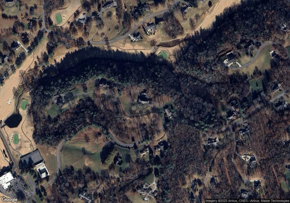
Map
Nearby Homes
- 482 Cross Creek Dr
- 00 Turning Leaf Dr
- 147 Beechtree Cir
- 00 Wyncrest Terrace
- 133 Salem Dr
- 109 Wyncrest Terrace
- 674 Knollwood Dr
- 135 Plantation Place Ln
- 1596 Greenhill Rd
- 712 Greenhill Rd
- 175 Sherwood Dr
- 483 Pine Creek Trail
- 313 Webster Rd
- 3217 Wards Gap Rd
- 197 Long Leaf Trail
- 2029 N Main St
- TBD River Walk Rd
- 150 Witt St
- 0 Jackson Rd
- 161 Ridgeview Dr
- 313 Montclaire Dr
- 184 Par Hill Ln
- 294 Montclaire Dr
- 266 Montclaire Dr
- 117 Old Montclaire Ln
- 196 Cross Creek Dr
- 218 Cross Creek Dr
- 217 Laurel Ridge Place
- 228 Cross Creek Dr
- 346 Montclaire Dr
- 203 Par Hill Ln
- 228 Cross Creek Dr
- 375 Montclaire Dr
- 213 Cross Creek Dr
- 278 Montclaire Dr
- 162 Barberry Place
- 208 Laurel Ridge Place
- 151 Cross Creek Dr
- 221 Cross Creek Dr
- 250 Cross Creek Dr