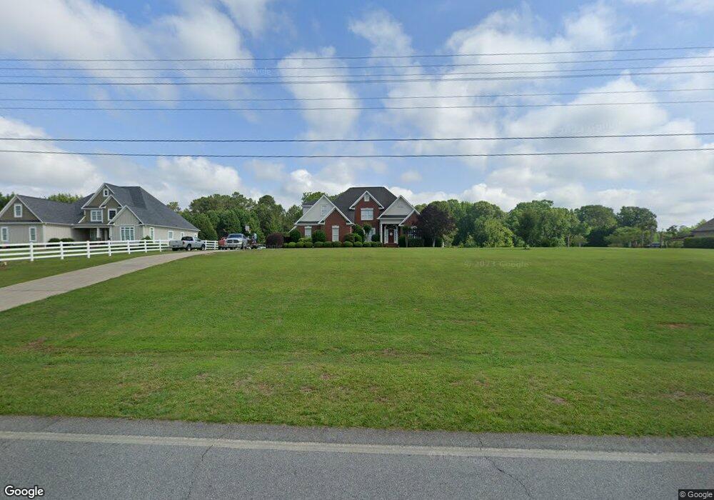
126 Pate Rd Macon, GA 31210
Bolingbroke NeighborhoodEstimated Value: $399,000 - $482,000
3
Beds
4
Baths
2,725
Sq Ft
$166/Sq Ft
Est. Value
About This Home
This home is located at 126 Pate Rd, Macon, GA 31210 and is currently estimated at $452,657, approximately $166 per square foot. 126 Pate Rd is a home located in Monroe County with nearby schools including T.G. Scott Elementary School, Mary Persons High School, and Academy for Classical Education.
Ownership History
Date
Name
Owned For
Owner Type
Purchase Details
Closed on
Apr 1, 2024
Sold by
Mercer Molly T
Bought by
Davis Rebecca Lynn
Current Estimated Value
Purchase Details
Closed on
Sep 25, 2013
Sold by
Mercer Brandon L
Bought by
Mercer Molly T
Purchase Details
Closed on
Apr 4, 2001
Sold by
Bob Lee Inc
Bought by
Mercer Brandon L and Mercer Molly T
Create a Home Valuation Report for This Property
The Home Valuation Report is an in-depth analysis detailing your home's value as well as a comparison with similar homes in the area
Home Values in the Area
Average Home Value in this Area
Purchase History
| Date | Buyer | Sale Price | Title Company |
|---|---|---|---|
| Davis Rebecca Lynn | $414,000 | -- | |
| Mercer Molly T | -- | -- | |
| Mercer Brandon L | $27,000 | -- |
Source: Public Records
Tax History Compared to Growth
Tax History
| Year | Tax Paid | Tax Assessment Tax Assessment Total Assessment is a certain percentage of the fair market value that is determined by local assessors to be the total taxable value of land and additions on the property. | Land | Improvement |
|---|---|---|---|---|
| 2024 | $4,553 | $161,720 | $18,200 | $143,520 |
| 2023 | $3,984 | $141,200 | $18,200 | $123,000 |
| 2022 | $3,823 | $141,200 | $18,200 | $123,000 |
| 2021 | $3,957 | $141,200 | $18,200 | $123,000 |
| 2020 | $3,392 | $118,040 | $18,200 | $99,840 |
| 2019 | $3,071 | $118,040 | $18,200 | $99,840 |
| 2018 | $3,080 | $118,040 | $18,200 | $99,840 |
| 2017 | $3,431 | $118,040 | $18,200 | $99,840 |
| 2016 | $2,930 | $118,040 | $18,200 | $99,840 |
| 2015 | $2,779 | $118,040 | $18,200 | $99,840 |
| 2014 | $2,681 | $118,040 | $18,200 | $99,840 |
Source: Public Records
Map
Nearby Homes
- 112 Pate Rd
- 152 Pate Rd
- 220 N Pointe Blvd
- 204 N Pointe Blvd
- 33 Cedar Ridge Ct
- 11 Wadley Station Ln
- 57 Cedar Ridge Ct
- 0 Wadley Rd Unit LOT 95 7127514
- 0 Wadley Rd Unit LOT 8 3045968
- 0 Wadley Rd Unit 243388
- 0 Wadley Rd Unit 10307720
- 0 Wadley Rd Unit 175147
- 0 Wadley Rd Unit 168128
- 0 Wadley Rd Unit LOT 95 07127514
- 0 Wadley Rd Unit 131831
- 0 Wadley Rd Unit 122488
- 0 Wadley Rd Unit 9 M119391
- 0 Wadley Rd Unit M119390
- 186 N Pointe Blvd
- 188 Pate Rd