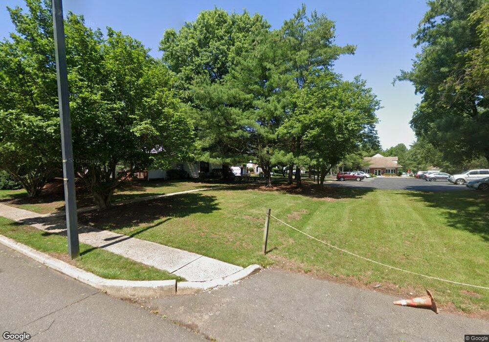
126 Pear Tree Ln Franklin Park, NJ 08823
Estimated Value: $380,552 - $407,000
--
Bed
--
Bath
1,260
Sq Ft
$315/Sq Ft
Est. Value
About This Home
This home is located at 126 Pear Tree Ln, Franklin Park, NJ 08823 and is currently estimated at $396,388, approximately $314 per square foot. 126 Pear Tree Ln is a home located in Somerset County with nearby schools including Franklin High School, St. Augustine of Canterbury School, and Cheder Menachem.
Ownership History
Date
Name
Owned For
Owner Type
Purchase Details
Closed on
Dec 15, 2000
Sold by
Mahmarian Larry
Bought by
Parker Katrina
Current Estimated Value
Home Financials for this Owner
Home Financials are based on the most recent Mortgage that was taken out on this home.
Original Mortgage
$131,000
Outstanding Balance
$48,275
Interest Rate
7.7%
Mortgage Type
FHA
Estimated Equity
$348,113
Purchase Details
Closed on
Dec 2, 1992
Sold by
Mcaveney Edna L
Bought by
Mahmarioan Lawrence P
Create a Home Valuation Report for This Property
The Home Valuation Report is an in-depth analysis detailing your home's value as well as a comparison with similar homes in the area
Home Values in the Area
Average Home Value in this Area
Purchase History
| Date | Buyer | Sale Price | Title Company |
|---|---|---|---|
| Parker Katrina | $136,000 | -- | |
| Mahmarioan Lawrence P | $93,000 | -- |
Source: Public Records
Mortgage History
| Date | Status | Borrower | Loan Amount |
|---|---|---|---|
| Open | Parker Katrina | $131,000 |
Source: Public Records
Tax History Compared to Growth
Tax History
| Year | Tax Paid | Tax Assessment Tax Assessment Total Assessment is a certain percentage of the fair market value that is determined by local assessors to be the total taxable value of land and additions on the property. | Land | Improvement |
|---|---|---|---|---|
| 2025 | $5,640 | $361,600 | $165,000 | $196,600 |
| 2024 | $5,640 | $312,800 | $165,000 | $147,800 |
| 2023 | $5,628 | $292,800 | $145,000 | $147,800 |
| 2022 | $5,127 | $252,800 | $105,000 | $147,800 |
| 2021 | $5,028 | $227,800 | $80,000 | $147,800 |
| 2020 | $4,920 | $217,800 | $70,000 | $147,800 |
| 2019 | $4,887 | $213,700 | $70,000 | $143,700 |
| 2018 | $4,590 | $198,700 | $55,000 | $143,700 |
| 2017 | $4,608 | $198,700 | $55,000 | $143,700 |
| 2016 | $4,531 | $193,700 | $50,000 | $143,700 |
| 2015 | $4,732 | $203,700 | $60,000 | $143,700 |
| 2014 | $4,775 | $208,700 | $65,000 | $143,700 |
Source: Public Records
Map
Nearby Homes
- 75 Pear Tree Ln Unit 10C
- 44 Crabapple Ln
- 130 Lindsey Ct
- 65 Townsend Ct Unit 213
- 65 Townsend Ct
- 1 Lyon La
- 1 Lyon Ln
- 69 Fisher Dr
- 205 Rachel Ct
- 89 Lindsey Ct Unit 4021
- 167 Rachel Ct
- 139 Rachel Ct Unit D1
- 147 Rachel Ct
- 107 Rachel Ct
- 124 Edward Dr
- 8 Amethyst Way
- 21 Gregory Ln Unit F1
- 93 Gregory La Ln
- 93 Gregory Ln
- 22 Arthur Glick Blvd Unit 2506
- 125 Pear Tree Ln
- 127 Pear Tree Ln Unit G
- 124 Pear Tree Ln
- 128 Pear Tree Ln Unit H
- 123 Pear Tree Ln
- 123 Pear Tree Ln Unit 163
- 122 Pear Tree Ln
- 121 Pear Tree Ln Unit 16A
- 132 Pear Tree Ln
- 130 Pear Tree Ln
- 131 Pear Tree Ln
- 135 Pear Tree Ln Unit 17G
- 133 Pear Tree Ln
- 115 Pear Tree Ln
- 116 Pear Tree Ln
- 114 Pear Tree Ln Unit 8
- 113 Pear Tree Ln
- 129 Pear Tree Ln
- 136 Pear Tree Ln
- 118 Pear Tree Ln