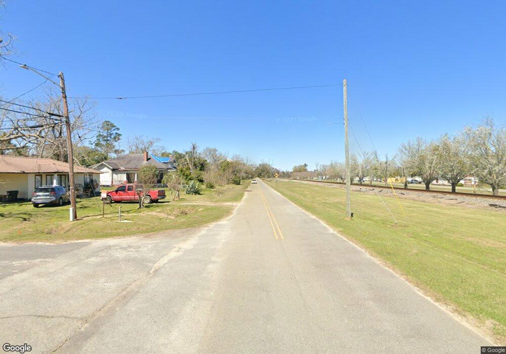
126 Railroad St Sparks, GA 31647
Estimated Value: $76,000 - $128,000
--
Bed
1
Bath
2,111
Sq Ft
$45/Sq Ft
Est. Value
About This Home
This home is located at 126 Railroad St, Sparks, GA 31647 and is currently estimated at $94,060, approximately $44 per square foot. 126 Railroad St is a home with nearby schools including Cook Primary School, Cook Elementary School, and Cook County Middle School.
Ownership History
Date
Name
Owned For
Owner Type
Purchase Details
Closed on
Mar 10, 2015
Sold by
Tomlinson James Dariel
Bought by
Joiner Clarence David
Current Estimated Value
Home Financials for this Owner
Home Financials are based on the most recent Mortgage that was taken out on this home.
Original Mortgage
$25,351
Outstanding Balance
$19,495
Interest Rate
3.79%
Mortgage Type
New Conventional
Estimated Equity
$74,565
Purchase Details
Closed on
Sep 23, 2009
Sold by
Nationsbank
Bought by
Tomlinson James Dariel and Bullard Mary Ruth
Create a Home Valuation Report for This Property
The Home Valuation Report is an in-depth analysis detailing your home's value as well as a comparison with similar homes in the area
Home Values in the Area
Average Home Value in this Area
Purchase History
| Date | Buyer | Sale Price | Title Company |
|---|---|---|---|
| Joiner Clarence David | $15,000 | -- | |
| Tomlinson James Dariel | -- | -- |
Source: Public Records
Mortgage History
| Date | Status | Borrower | Loan Amount |
|---|---|---|---|
| Open | Joiner Clarence David | $25,351 |
Source: Public Records
Tax History Compared to Growth
Tax History
| Year | Tax Paid | Tax Assessment Tax Assessment Total Assessment is a certain percentage of the fair market value that is determined by local assessors to be the total taxable value of land and additions on the property. | Land | Improvement |
|---|---|---|---|---|
| 2024 | $614 | $16,037 | $3,336 | $12,701 |
| 2023 | $540 | $14,018 | $2,978 | $11,040 |
| 2022 | $378 | $14,018 | $2,978 | $11,040 |
| 2021 | $350 | $12,136 | $2,978 | $9,158 |
| 2020 | $350 | $12,136 | $2,978 | $9,158 |
| 2019 | $351 | $12,136 | $2,978 | $9,158 |
| 2018 | $508 | $12,136 | $2,978 | $9,158 |
| 2017 | $351 | $12,136 | $2,978 | $9,158 |
| 2016 | $174 | $17,452 | $2,978 | $14,474 |
| 2015 | $506 | $17,452 | $2,978 | $14,474 |
| 2014 | $507 | $17,452 | $2,978 | $14,474 |
| 2013 | -- | $17,452 | $2,978 | $14,474 |
Source: Public Records
Map
Nearby Homes
- 66 Hinson St
- 1864 Caulie Harris Rd
- 7909 Webb Rd N
- 8009 Webb Rd N
- 331 Barry Field Cir
- 335 Barry Field Cir
- 355 Barry Field Cir
- 343 Barry Field Cir
- 339 Barry Field Cir
- 347 Barry Field Cir
- 107 Floyd McNeal Dr
- 117 Floyd McNeal Dr
- 374 Barry Field Cir
- 186 Jefferson Rd
- 168 Floyd McNeal Dr
- 351 Barry Field Cir
- 169 Audrey Ln
- 228 Barry Field Cir
- 7305 Wind Chase Dr
- 7250 Tillman Branch Rd