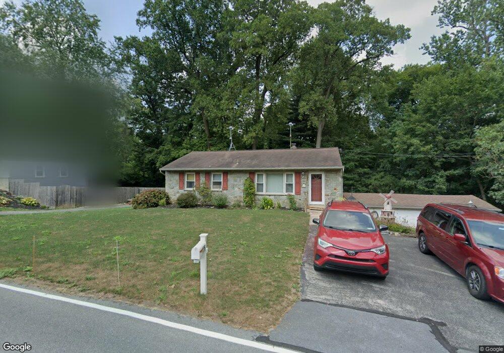
126 Reese Ave Lancaster, PA 17602
Bridgeport NeighborhoodEstimated Value: $274,617 - $334,000
2
Beds
1
Bath
1,040
Sq Ft
$291/Sq Ft
Est. Value
About This Home
This home is located at 126 Reese Ave, Lancaster, PA 17602 and is currently estimated at $302,154, approximately $290 per square foot. 126 Reese Ave is a home located in Lancaster County with nearby schools including Smoketown Elementary School, Gerald G. Huesken Middle School, and Conestoga Valley High School.
Ownership History
Date
Name
Owned For
Owner Type
Purchase Details
Closed on
Sep 23, 1999
Sold by
Steco Rocco A and Steco Jennifer L
Bought by
Helm Timothy J and Helm Nancy M
Current Estimated Value
Home Financials for this Owner
Home Financials are based on the most recent Mortgage that was taken out on this home.
Original Mortgage
$75,000
Interest Rate
8.1%
Create a Home Valuation Report for This Property
The Home Valuation Report is an in-depth analysis detailing your home's value as well as a comparison with similar homes in the area
Home Values in the Area
Average Home Value in this Area
Purchase History
| Date | Buyer | Sale Price | Title Company |
|---|---|---|---|
| Helm Timothy J | $115,000 | -- |
Source: Public Records
Mortgage History
| Date | Status | Borrower | Loan Amount |
|---|---|---|---|
| Closed | Helm Timothy J | $75,000 |
Source: Public Records
Tax History Compared to Growth
Tax History
| Year | Tax Paid | Tax Assessment Tax Assessment Total Assessment is a certain percentage of the fair market value that is determined by local assessors to be the total taxable value of land and additions on the property. | Land | Improvement |
|---|---|---|---|---|
| 2025 | $2,885 | $142,500 | $54,600 | $87,900 |
| 2024 | $2,885 | $142,500 | $54,600 | $87,900 |
| 2023 | $2,818 | $142,500 | $54,600 | $87,900 |
| 2022 | $2,748 | $142,500 | $54,600 | $87,900 |
| 2021 | $2,651 | $142,500 | $54,600 | $87,900 |
| 2020 | $2,651 | $142,500 | $54,600 | $87,900 |
| 2019 | $2,556 | $140,400 | $54,600 | $85,800 |
| 2018 | $3,569 | $140,400 | $54,600 | $85,800 |
| 2017 | $2,496 | $115,300 | $45,500 | $69,800 |
| 2016 | $2,466 | $115,300 | $45,500 | $69,800 |
| 2015 | $630 | $115,300 | $45,500 | $69,800 |
| 2014 | $1,615 | $115,300 | $45,500 | $69,800 |
Source: Public Records
Map
Nearby Homes
- 11 Clayton Ave
- 257 Longfellow Dr
- 415 Lampeter Rd
- 452 Longfellow Dr
- 6 Woodlyn Ct
- 305 Conestoga Blvd
- 18 Red Leaf Ln
- 1827 Krystle Dr
- 235 Landis Dr
- 1864 Lincoln Hwy E
- 154 River Bend Park
- 1036 E King St
- 980 E Orange St
- 1942 Drexel Ave
- 1560 S Jefferson Ct
- 911 E King St
- 516 Conestoga Greenway Trail
- 1015 E Walnut St
- 728 E End Ave
- 817 E Orange St