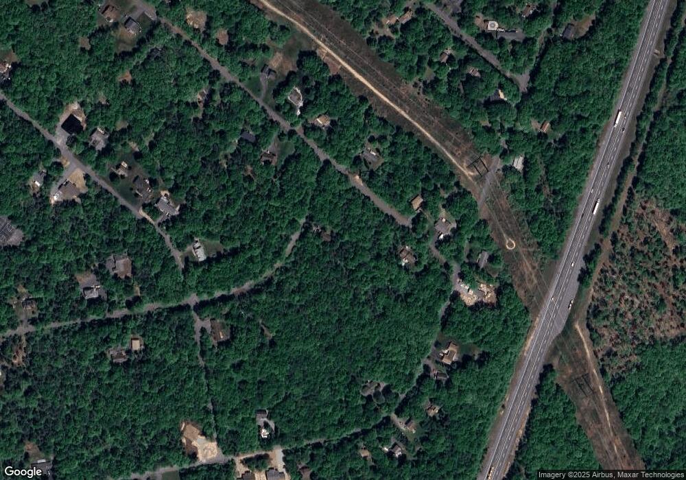
126 Robertson Rd Jim Thorpe, PA 18229
Estimated Value: $72,000 - $276,000
3
Beds
2
Baths
1,248
Sq Ft
$113/Sq Ft
Est. Value
About This Home
This home is located at 126 Robertson Rd, Jim Thorpe, PA 18229 and is currently estimated at $141,341, approximately $113 per square foot. 126 Robertson Rd is a home located in Carbon County with nearby schools including Jim Thorpe Area High School.
Ownership History
Date
Name
Owned For
Owner Type
Purchase Details
Closed on
Nov 12, 2024
Sold by
Steinmetz Richard D
Bought by
W & W Property Group Llc
Current Estimated Value
Purchase Details
Closed on
Aug 29, 2008
Sold by
Shumack Robert M
Bought by
Steinmetz Richard D
Home Financials for this Owner
Home Financials are based on the most recent Mortgage that was taken out on this home.
Original Mortgage
$60,001
Interest Rate
6.29%
Mortgage Type
New Conventional
Purchase Details
Closed on
Dec 29, 2007
Sold by
Lippincott John and Lippincott Lori
Bought by
Shumack Robert M
Home Financials for this Owner
Home Financials are based on the most recent Mortgage that was taken out on this home.
Original Mortgage
$77,000
Interest Rate
6.2%
Mortgage Type
New Conventional
Create a Home Valuation Report for This Property
The Home Valuation Report is an in-depth analysis detailing your home's value as well as a comparison with similar homes in the area
Home Values in the Area
Average Home Value in this Area
Purchase History
| Date | Buyer | Sale Price | Title Company |
|---|---|---|---|
| W & W Property Group Llc | $70,000 | Pocono Area Abstract | |
| Steinmetz Richard D | $124,000 | None Available | |
| Shumack Robert M | $105,000 | None Available |
Source: Public Records
Mortgage History
| Date | Status | Borrower | Loan Amount |
|---|---|---|---|
| Previous Owner | Steinmetz Richard D | $60,001 | |
| Previous Owner | Shumack Robert M | $77,000 |
Source: Public Records
Tax History Compared to Growth
Tax History
| Year | Tax Paid | Tax Assessment Tax Assessment Total Assessment is a certain percentage of the fair market value that is determined by local assessors to be the total taxable value of land and additions on the property. | Land | Improvement |
|---|---|---|---|---|
| 2025 | $2,593 | $42,150 | $7,400 | $34,750 |
| 2024 | $2,467 | $42,150 | $7,400 | $34,750 |
| 2023 | $2,435 | $42,150 | $7,400 | $34,750 |
| 2022 | $2,435 | $42,150 | $7,400 | $34,750 |
| 2021 | $2,435 | $42,150 | $7,400 | $34,750 |
| 2020 | $2,435 | $42,150 | $7,400 | $34,750 |
| 2019 | $2,351 | $42,150 | $7,400 | $34,750 |
| 2018 | $2,351 | $42,150 | $7,400 | $34,750 |
| 2017 | $2,351 | $42,150 | $7,400 | $34,750 |
| 2016 | -- | $42,150 | $7,400 | $34,750 |
| 2015 | -- | $42,150 | $7,400 | $34,750 |
| 2014 | -- | $42,150 | $7,400 | $34,750 |
Source: Public Records
Map
Nearby Homes
- 0 Lot F534 Pinoak Dr
- 683 Wild Creek Dr
- F392 Wild Creek Dr
- 111 Wild Creek Dr
- 0 Drakes Dr Unit PACC2006494
- 0 Drakes Dr Unit 763563
- Lot F534 Pin Oak Dr
- Lot G528 Pin Oak Dr
- Lot E361 Robertson Rd
- H594 Engler Ln
- Lot 567 Cross Run Rd
- 0 Cross Run Rd Unit Lot 567 757717
- H593 Engler Ln
- 41 Pinoak Dr
- 0 Dr
- 0 Pin Oak #518
- H570 Cross Run Road & Engler Ln
- Lot 328 Panther Run Rd
- D402 Cold Spring Dr
- 0 Cold Spring Dr Unit PM-135126
- 356 Robertson Rd
- 439 Robertson Rd
- 353 Robertson Rd
- 357 Robertson Rd
- 361 Robertson Rd
- 134 Pinoak Dr
- F374 Wild Creek Dr
- 133 Pinoak Dr
- 113 Pin Oak Dr
- 110 Robertson Rd
- F482 Pinoak
- 106 Pinoak Dr
- 113 Fawn Rd
- 113 Pinoak Dr
- 139 Pinoak Dr
- 482 Pin Oak Dr
- 514 Pin Oak Dr
- 528 Pin Oak Dr
- 522 Pin Oak Dr
- 527 Pin Oak Dr
