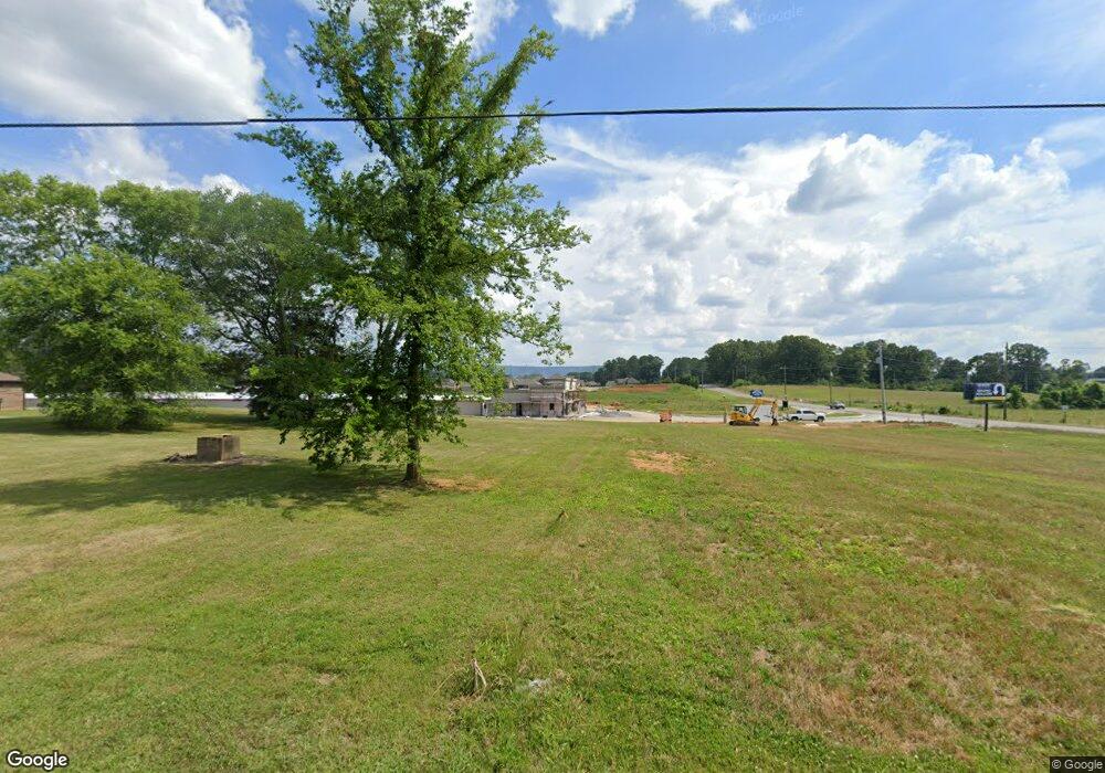
126 Robinson Rd Huntsville, AL 35811
Moores Mill NeighborhoodEstimated Value: $392,645 - $455,000
--
Bed
1
Bath
2,817
Sq Ft
$151/Sq Ft
Est. Value
About This Home
This home is located at 126 Robinson Rd, Huntsville, AL 35811 and is currently estimated at $425,411, approximately $151 per square foot. 126 Robinson Rd is a home with nearby schools including Mt Carmel Elementary School, Riverton Intermediate School, and Buckhorn Middle School.
Ownership History
Date
Name
Owned For
Owner Type
Purchase Details
Closed on
Jul 16, 2024
Sold by
Ford Cassandra and Rudder Cassandra
Bought by
Five Star Storage Llc
Current Estimated Value
Purchase Details
Closed on
Aug 30, 2023
Sold by
Rudder Cassandra
Bought by
Five Star Storage Llc
Purchase Details
Closed on
Jun 15, 2016
Sold by
Brooks Angela
Bought by
Ford Cassandra
Purchase Details
Closed on
Jun 10, 2016
Sold by
Ewing David
Bought by
Ford Cassandra
Purchase Details
Closed on
May 31, 2016
Sold by
Ford Sandra and Ford Claude
Bought by
Ford Cassandra
Create a Home Valuation Report for This Property
The Home Valuation Report is an in-depth analysis detailing your home's value as well as a comparison with similar homes in the area
Home Values in the Area
Average Home Value in this Area
Purchase History
| Date | Buyer | Sale Price | Title Company |
|---|---|---|---|
| Five Star Storage Llc | $65,000 | None Listed On Document | |
| Five Star Storage Llc | $35,000 | None Listed On Document | |
| Ford Cassandra | -- | None Available | |
| Ford Cassandra | $7,000 | None Available | |
| Ford Cassandra | $7,000 | None Available | |
| Ford Cassandra | $7,000 | None Available |
Source: Public Records
Tax History Compared to Growth
Tax History
| Year | Tax Paid | Tax Assessment Tax Assessment Total Assessment is a certain percentage of the fair market value that is determined by local assessors to be the total taxable value of land and additions on the property. | Land | Improvement |
|---|---|---|---|---|
| 2024 | $2,701 | $74,840 | $10,080 | $64,760 |
| 2023 | $2,701 | $73,820 | $10,800 | $63,020 |
| 2022 | $1,138 | $32,800 | $3,900 | $28,900 |
| 2021 | $1,024 | $29,700 | $3,900 | $25,800 |
| 2020 | $959 | $27,910 | $3,900 | $24,010 |
| 2019 | $927 | $27,020 | $3,900 | $23,120 |
| 2018 | $747 | $22,040 | $0 | $0 |
| 2017 | $221 | $6,600 | $0 | $0 |
| 2016 | $221 | $6,600 | $0 | $0 |
| 2015 | $221 | $6,600 | $0 | $0 |
| 2014 | $221 | $6,600 | $0 | $0 |
Source: Public Records
Map
Nearby Homes
- Charleston Pennington Ave
- Shelburne Pennington Ave
- Cambridge Pennington Ave
- Bennington Pennington Ave
- Raleigh Pennington Ave
- Blakley Pennington Ave
- The Cambridge Plan at Pennington
- The Raleigh Plan at Pennington
- The Manhattan Plan at Pennington
- The Lincoln Plan at Pennington
- The Winston Plan at Pennington
- The Bennington Plan at Pennington
- The Shelburne Plan at Pennington
- The Savannah Plan at Pennington
- The Charleston Plan at Pennington
- Winston Pennington Ave
- 0.40 acres Laurel Oak Rd
- 154 Stone Hill Dr
- 206 Exeter St
- Manhattan Pennington Ave
- 79 Robinson Rd
- 6480 Moores Mill Rd
- 6488 Moores Mill Rd
- 6496 Moores Mill Rd
- 101 Oakcrest Rd
- 6506 Moores Mill Rd
- 158 Robinson Rd
- 102 Oakcrest Rd
- 103 Oakcrest Rd
- 6514 Moores Mill Rd
- 159 Robinson Rd
- 104 Oakcrest Rd
- 6522 Moores Mill Rd
- 167 Robinson Rd
- 170 Robinson Rd
- 106 Oakcrest Rd
- 107 Oakcrest Rd
- 177 Robinson Rd
- 108 Oakcrest Rd
- 111 Oakcrest Rd
