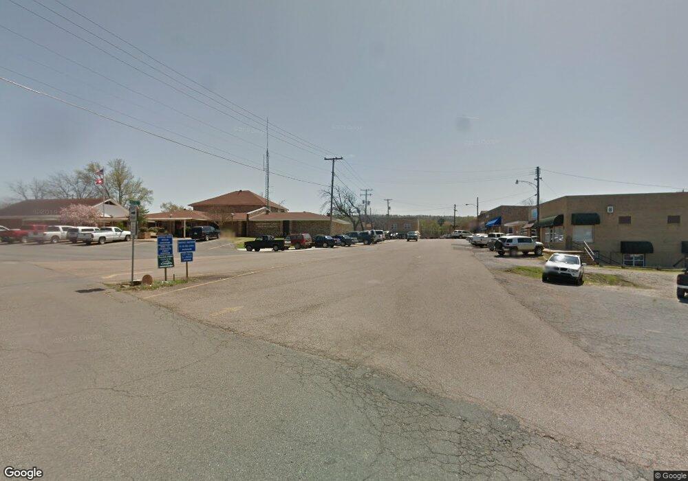
126 Rolling Hills Mount Ida, AR 71957
Estimated Value: $219,422 - $305,000
--
Bed
--
Bath
1,678
Sq Ft
$158/Sq Ft
Est. Value
About This Home
This home is located at 126 Rolling Hills, Mount Ida, AR 71957 and is currently estimated at $264,356, approximately $157 per square foot. 126 Rolling Hills is a home with nearby schools including Bobby Barrett Elementary and Mount Ida High School.
Ownership History
Date
Name
Owned For
Owner Type
Purchase Details
Closed on
Jun 30, 2006
Bought by
Abernathy Becky Louise
Current Estimated Value
Purchase Details
Closed on
Aug 24, 1995
Bought by
Abernathy Jimmy and Abernathy Becky
Purchase Details
Closed on
May 2, 1994
Bought by
Joiner Dwain and Joiner Mary E
Purchase Details
Closed on
Aug 28, 1992
Bought by
Boxx Dan and Boxx Edna
Purchase Details
Closed on
Sep 11, 1990
Bought by
Whisenhunt Rusty and Whisenhunt Laurie
Purchase Details
Closed on
Oct 2, 1987
Bought by
Bransen Julius and Bransen Marion
Purchase Details
Closed on
Apr 29, 1980
Bought by
Siegerdt Robert F and Siegerdt Lydia B
Create a Home Valuation Report for This Property
The Home Valuation Report is an in-depth analysis detailing your home's value as well as a comparison with similar homes in the area
Home Values in the Area
Average Home Value in this Area
Purchase History
| Date | Buyer | Sale Price | Title Company |
|---|---|---|---|
| Abernathy Becky Louise | -- | -- | |
| Abernathy Becky Louise | -- | -- | |
| Abernathy Jimmy | $75,000 | -- | |
| Joiner Dwain | $74,000 | -- | |
| Boxx Dan | $65,000 | -- | |
| Whisenhunt Rusty | $52,000 | -- | |
| Bransen Julius | $65,000 | -- | |
| Siegerdt Robert F | -- | -- |
Source: Public Records
Tax History Compared to Growth
Tax History
| Year | Tax Paid | Tax Assessment Tax Assessment Total Assessment is a certain percentage of the fair market value that is determined by local assessors to be the total taxable value of land and additions on the property. | Land | Improvement |
|---|---|---|---|---|
| 2025 | $354 | $37,380 | $3,570 | $33,810 |
| 2024 | $413 | $37,380 | $3,570 | $33,810 |
| 2023 | $446 | $37,380 | $3,570 | $33,810 |
| 2022 | $464 | $19,840 | $2,880 | $16,960 |
| 2021 | $464 | $19,840 | $2,880 | $16,960 |
| 2020 | $464 | $19,840 | $2,880 | $16,960 |
| 2019 | $464 | $19,840 | $2,880 | $16,960 |
| 2018 | $489 | $19,840 | $2,880 | $16,960 |
| 2017 | $547 | $21,210 | $2,600 | $18,610 |
| 2016 | $547 | $21,210 | $2,600 | $18,610 |
| 2014 | $523 | $21,210 | $2,600 | $18,610 |
Source: Public Records
Map
Nearby Homes
- 2592 Highway 270 E
- 2383 Highway 270 E
- 36 Wildlife Ln
- 01 Yeaman Ln
- 42 Dusty Trail
- 163 Quail Run Ln
- 260 Hall St
- TBD Silver Point Dr
- 901 Highway 270 E
- 1593 Arkansas 27
- 1593 Highway 27 N
- 137 N Pine St
- 21 Moon Dance Rd
- 61 Muscadine Ln
- 64 Judah Ln
- 4307 Highway 270 E
- 360 Ar-27
- 15 Big Bear Rd
- 29 Hidden Cove
- 229 Denby Cove Dr
- 117 Rolling Hills
- 86 Rolling Hills
- 86 Rolling Hill
- 0 Rolling Hills Unit 20023036
- 0 Rolling Hills Unit 20014441
- 85 Rolling Hills
- 0 Rolling Hills Dr Unit 15025492
- 58 Lynwood Ln
- 58 Lynwood Ln
- 57 Rolling Hills
- 74 Morning Glory
- 80 Rolling Hill
- 185 Rolling Hills Dr
- 185 Rolling Hill
- 38 Rolling Hills
- 2637 Highway 270 E
- 2595 Highway 270 E
- 2661 Highway 270 E
- 44 Triple D Dr
- 6 Rolling Hill
