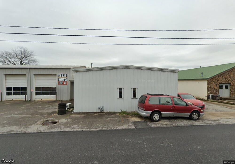
126 S Neal St Prairie Grove, AR 72753
Estimated Value: $388,884
--
Bed
--
Bath
7,538
Sq Ft
$52/Sq Ft
Est. Value
About This Home
This home is located at 126 S Neal St, Prairie Grove, AR 72753 and is currently estimated at $388,884, approximately $51 per square foot. 126 S Neal St is a home located in Washington County with nearby schools including Prairie Grove Elementary School, Prairie Grove Middle School, and Prairie Grove Junior High School.
Ownership History
Date
Name
Owned For
Owner Type
Purchase Details
Closed on
Sep 18, 2020
Sold by
Pair Paul M and Pair Carol L
Bought by
Grimes David Daniel
Current Estimated Value
Home Financials for this Owner
Home Financials are based on the most recent Mortgage that was taken out on this home.
Original Mortgage
$270,000
Outstanding Balance
$238,611
Interest Rate
2.8%
Mortgage Type
Future Advance Clause Open End Mortgage
Estimated Equity
$150,273
Purchase Details
Closed on
Nov 3, 1986
Bought by
Pair Paul M and Pair Carol L
Purchase Details
Closed on
Jan 24, 1973
Bought by
Meadors Jack D and Meadors Joy
Create a Home Valuation Report for This Property
The Home Valuation Report is an in-depth analysis detailing your home's value as well as a comparison with similar homes in the area
Home Values in the Area
Average Home Value in this Area
Purchase History
| Date | Buyer | Sale Price | Title Company |
|---|---|---|---|
| Grimes David Daniel | $270,000 | Waco Title Co | |
| Pair Paul M | $58,000 | -- | |
| Meadors Jack D | $5,000 | -- |
Source: Public Records
Mortgage History
| Date | Status | Borrower | Loan Amount |
|---|---|---|---|
| Open | Grimes David Daniel | $270,000 |
Source: Public Records
Tax History Compared to Growth
Tax History
| Year | Tax Paid | Tax Assessment Tax Assessment Total Assessment is a certain percentage of the fair market value that is determined by local assessors to be the total taxable value of land and additions on the property. | Land | Improvement |
|---|---|---|---|---|
| 2025 | $1,782 | $53,710 | $4,450 | $49,260 |
| 2024 | $1,670 | $53,710 | $4,450 | $49,260 |
| 2023 | $1,590 | $53,710 | $4,450 | $49,260 |
| 2022 | $1,446 | $26,770 | $2,960 | $23,810 |
| 2021 | $1,446 | $26,770 | $2,960 | $23,810 |
| 2020 | $1,440 | $26,770 | $2,960 | $23,810 |
| 2019 | $1,396 | $25,670 | $2,960 | $22,710 |
| 2018 | $1,396 | $25,670 | $2,960 | $22,710 |
| 2017 | $1,384 | $25,670 | $2,960 | $22,710 |
| 2016 | $1,384 | $25,670 | $2,960 | $22,710 |
| 2015 | $1,341 | $25,670 | $2,960 | $22,710 |
| 2014 | $1,219 | $22,610 | $2,310 | $20,300 |
Source: Public Records
Map
Nearby Homes
- 4.66 +/- AC Tract 5 Hwy 62 & S Mock St
- 106 S Ozark St
- 208 N Neal St
- 107 S Ozark St
- TBD Kate Smith St
- 211 Boston St
- 304 S Summit St
- Lot 2 Holmes St
- 308 S Summit St
- 606 1/2 E Buchanan St
- 204 Armstrong St
- 901 E Buchanan St
- 881 E Buchanan St
- 601 Westwood Ave
- TBD Butler St
- 700 Marcella St
- 303 E Center St
- 711 Marcella St
- 224 Stapleton Dr
- 110 Cypress St
- 0.767 AC Cleveland St
- 204 E Cleveland St
- 143 S Neal St
- 127 E Buchanan St
- 121 E Buchanan St
- 202 E Cleveland St
- 305 E Buchanan St
- 153 S Neal St
- 115 E Buchanan St
- 140 E Buchanan St
- 126 E Buchanan St
- 124 E Buchanan St
- 205 E Cleveland St
- 128 E Buchanan St
- 308 E Cleveland St
- 203 E Cleveland St
- 306 E Buchanan St
- 201 E Cleveland St
- 203 S Neal St
- 116 E Buchanan St