126 S Rile St Bushnell, IL 61422
Estimated Value: $59,000 - $65,000
3
Beds
--
Bath
1,116
Sq Ft
$55/Sq Ft
Est. Value
About This Home
This home is located at 126 S Rile St, Bushnell, IL 61422 and is currently estimated at $61,272, approximately $54 per square foot. 126 S Rile St is a home located in McDonough County with nearby schools including Bushnell-Prairie City Elementary School, Bushnell-Prairie City Junior High School, and Bushnell-Prairie City High School.
Ownership History
Date
Name
Owned For
Owner Type
Purchase Details
Closed on
Nov 24, 2010
Sold by
English Jodee
Bought by
Hensley Karyn L
Current Estimated Value
Home Financials for this Owner
Home Financials are based on the most recent Mortgage that was taken out on this home.
Original Mortgage
$43,859
Outstanding Balance
$29,085
Interest Rate
4.37%
Mortgage Type
FHA
Estimated Equity
$32,187
Create a Home Valuation Report for This Property
The Home Valuation Report is an in-depth analysis detailing your home's value as well as a comparison with similar homes in the area
Home Values in the Area
Average Home Value in this Area
Purchase History
| Date | Buyer | Sale Price | Title Company |
|---|---|---|---|
| Hensley Karyn L | $45,000 | None Available |
Source: Public Records
Mortgage History
| Date | Status | Borrower | Loan Amount |
|---|---|---|---|
| Open | Hensley Karyn L | $43,859 |
Source: Public Records
Tax History Compared to Growth
Tax History
| Year | Tax Paid | Tax Assessment Tax Assessment Total Assessment is a certain percentage of the fair market value that is determined by local assessors to be the total taxable value of land and additions on the property. | Land | Improvement |
|---|---|---|---|---|
| 2024 | $841 | $15,150 | $2,516 | $12,634 |
| 2023 | $804 | $14,989 | $2,489 | $12,500 |
| 2022 | $680 | $13,550 | $2,250 | $11,300 |
| 2021 | $629 | $12,973 | $2,154 | $10,819 |
| 2020 | $629 | $14,914 | $2,124 | $12,790 |
| 2019 | $678 | $13,327 | $2,213 | $11,114 |
| 2018 | $678 | $13,606 | $2,259 | $11,347 |
| 2017 | $680 | $13,412 | $2,227 | $11,185 |
| 2016 | $596 | $12,401 | $2,059 | $10,342 |
| 2015 | $605 | $12,401 | $2,059 | $10,342 |
| 2014 | $694 | $12,212 | $2,028 | $10,184 |
| 2013 | $682 | $13,695 | $1,363 | $12,332 |
Source: Public Records
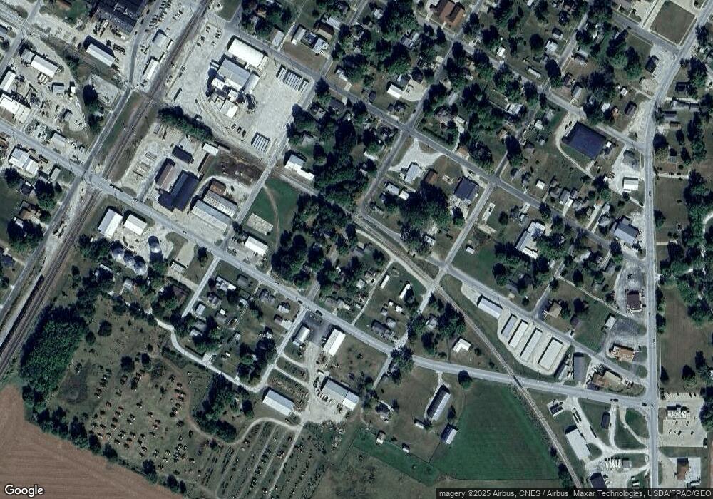
Map
Nearby Homes
- 310 N Dean St
- 651 N Sperry St
- 195 W Hail St
- 425 N Jackson St
- 777 Cole St
- 555 N Jackson St
- 924 N Crafford St
- 651 N Washington St
- 134 W Osborne St
- 994 N Crafford St
- 1024 W Main St
- 14 Hillcrest Dr
- 4 Hiel Dr
- 295 W Harris Ave
- 18520 N 1450th Rd
- 22561 N Cornerstone Rd
- 20620 N 2300th Rd
- 20620 N 2300 Rd
- 16905 E 1600th St
- 300 S Park St