126 Sheppard Cruse Dr Newport, NC 28570
Estimated Value: $247,000 - $330,000
3
Beds
1
Bath
1,488
Sq Ft
$188/Sq Ft
Est. Value
About This Home
This home is located at 126 Sheppard Cruse Dr, Newport, NC 28570 and is currently estimated at $280,337, approximately $188 per square foot. 126 Sheppard Cruse Dr is a home located in Carteret County with nearby schools including Newport Elementary School, Newport Middle School, and West Carteret High School.
Ownership History
Date
Name
Owned For
Owner Type
Purchase Details
Closed on
Feb 23, 2010
Sold by
Newport Holdings Company Llc
Bought by
Collins Daniel and Collins Joyce
Current Estimated Value
Home Financials for this Owner
Home Financials are based on the most recent Mortgage that was taken out on this home.
Original Mortgage
$1,450,000
Interest Rate
5%
Mortgage Type
Seller Take Back
Create a Home Valuation Report for This Property
The Home Valuation Report is an in-depth analysis detailing your home's value as well as a comparison with similar homes in the area
Home Values in the Area
Average Home Value in this Area
Purchase History
| Date | Buyer | Sale Price | Title Company |
|---|---|---|---|
| Collins Daniel | $1,550,000 | None Available |
Source: Public Records
Mortgage History
| Date | Status | Borrower | Loan Amount |
|---|---|---|---|
| Closed | Collins Daniel | $1,450,000 |
Source: Public Records
Tax History Compared to Growth
Tax History
| Year | Tax Paid | Tax Assessment Tax Assessment Total Assessment is a certain percentage of the fair market value that is determined by local assessors to be the total taxable value of land and additions on the property. | Land | Improvement |
|---|---|---|---|---|
| 2025 | $874 | $235,237 | $65,110 | $170,127 |
| 2024 | $697 | $124,727 | $27,270 | $97,457 |
| 2023 | $708 | $124,727 | $27,270 | $97,457 |
| 2022 | $733 | $124,727 | $27,270 | $97,457 |
| 2021 | $0 | $124,727 | $27,270 | $97,457 |
| 2020 | $716 | $124,727 | $27,270 | $97,457 |
| 2019 | $707 | $131,827 | $27,270 | $104,557 |
| 2017 | $681 | $131,827 | $27,270 | $104,557 |
| 2016 | $681 | $131,827 | $27,270 | $104,557 |
| 2015 | $668 | $131,827 | $27,270 | $104,557 |
| 2014 | -- | $129,994 | $35,406 | $94,588 |
Source: Public Records
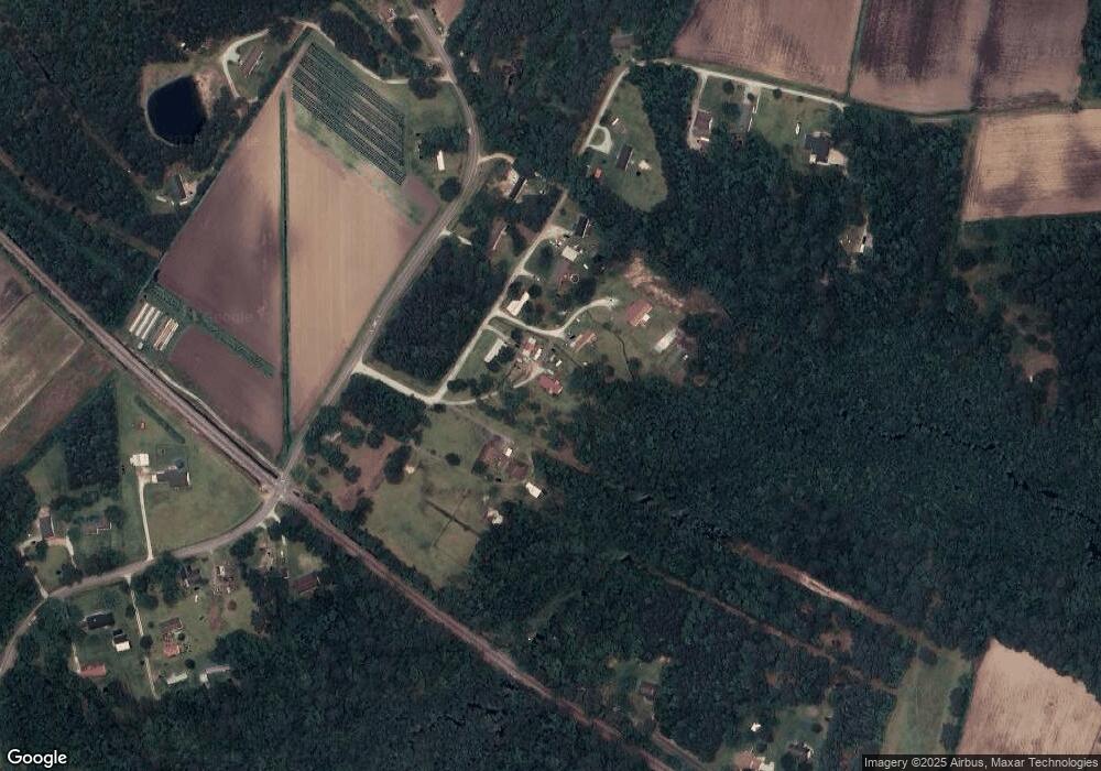
Map
Nearby Homes
- 126 Hatcher Dr
- 414 W Branch Dr
- 415 Hillcrest Dr
- 404 Hillcrest Dr
- 806 Lord Granville Dr
- 904 Lord Granville Dr
- 6650 Highway 70 W
- 311 Lord Granville Dr
- 304 Lord Granville Dr
- 357 Mccabe Rd
- 5320 Highway 70 W
- 341 Mccabe Rd
- 302 Lord Granville Dr
- 212 Lord Granville Dr
- 105 Fairway Dr W
- 113 Fairway Dr W
- 215 Oak Dr
- 206 Lazy Ln
- 200 Tree Fern Dr
- 137 Zacchaeus Ave
- 118 Sheppard Cruse Dr
- 166 Sheppard Cruse Dr
- 178 Sheppard Cruse Dr
- 242 Sam Garner Rd
- 400 Sam Garner Rd
- 184 Sheppard Cruse Dr
- 374 Wildwood Rd
- 231 Sam Garner Rd
- 401 Sam Garner Rd
- 200 Sheppard Cruse Dr
- 185 Sheppard Cruse Dr
- 226 Sam Garner Rd
- 352 Wildwood Rd
- 00000 Wood
- 101 & 107 Wood Ln
- 101 Wood Ln
- 211 Sam Garner Rd
- 102 Clayton Dr
- 358 Sam Garner Rd
- 198 Sam Garner Rd