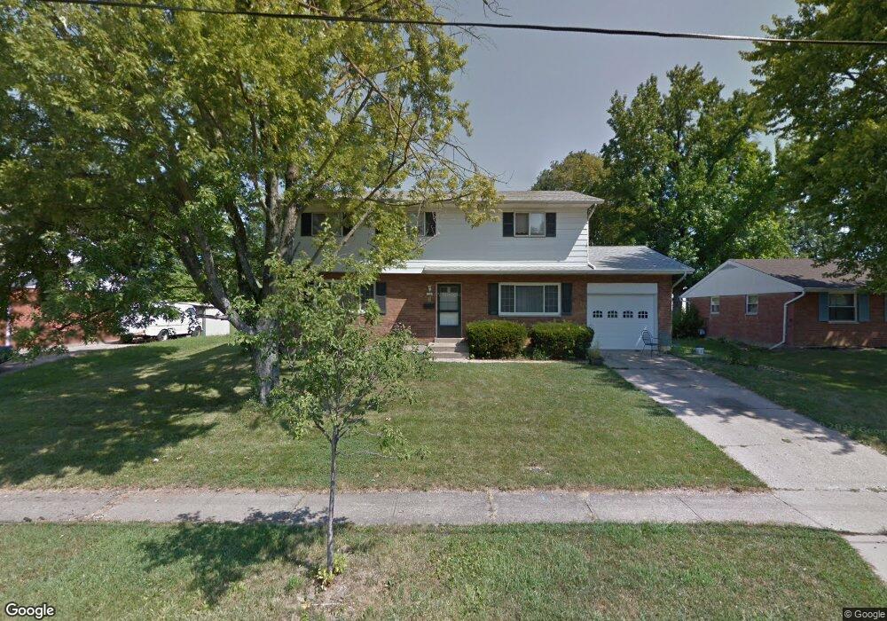
126 Silverwood Cir Cincinnati, OH 45246
Estimated Value: $261,000 - $293,068
4
Beds
3
Baths
1,960
Sq Ft
$142/Sq Ft
Est. Value
About This Home
This home is located at 126 Silverwood Cir, Cincinnati, OH 45246 and is currently estimated at $278,267, approximately $141 per square foot. 126 Silverwood Cir is a home located in Hamilton County with nearby schools including Springdale Elementary School, Princeton Community Middle School, and Princeton High School.
Ownership History
Date
Name
Owned For
Owner Type
Purchase Details
Closed on
Jun 16, 1997
Sold by
Magee William A
Bought by
Yates Fletcher A and Yates Evelyn D
Current Estimated Value
Home Financials for this Owner
Home Financials are based on the most recent Mortgage that was taken out on this home.
Original Mortgage
$104,350
Outstanding Balance
$15,126
Interest Rate
8.13%
Mortgage Type
FHA
Estimated Equity
$263,141
Create a Home Valuation Report for This Property
The Home Valuation Report is an in-depth analysis detailing your home's value as well as a comparison with similar homes in the area
Home Values in the Area
Average Home Value in this Area
Purchase History
| Date | Buyer | Sale Price | Title Company |
|---|---|---|---|
| Yates Fletcher A | $105,000 | -- |
Source: Public Records
Mortgage History
| Date | Status | Borrower | Loan Amount |
|---|---|---|---|
| Open | Yates Fletcher A | $104,350 |
Source: Public Records
Tax History Compared to Growth
Tax History
| Year | Tax Paid | Tax Assessment Tax Assessment Total Assessment is a certain percentage of the fair market value that is determined by local assessors to be the total taxable value of land and additions on the property. | Land | Improvement |
|---|---|---|---|---|
| 2024 | $3,488 | $76,335 | $16,618 | $59,717 |
| 2023 | $3,425 | $76,335 | $16,618 | $59,717 |
| 2022 | $2,986 | $54,264 | $12,040 | $42,224 |
| 2021 | $2,966 | $54,264 | $12,040 | $42,224 |
| 2020 | $2,926 | $54,264 | $12,040 | $42,224 |
| 2019 | $2,720 | $46,379 | $10,290 | $36,089 |
| 2018 | $2,564 | $46,379 | $10,290 | $36,089 |
| 2017 | $2,447 | $46,379 | $10,290 | $36,089 |
| 2016 | $2,472 | $45,959 | $10,710 | $35,249 |
| 2015 | $2,458 | $45,959 | $10,710 | $35,249 |
| 2014 | $2,462 | $45,959 | $10,710 | $35,249 |
| 2013 | $2,561 | $48,892 | $11,393 | $37,499 |
Source: Public Records
Map
Nearby Homes
- 11839 Mangrove Ln
- 11837 Mangrove Ln
- 11907 Lawnview Ave
- 230 Edinburgh Ln Unit 47
- 228 Edinburgh Ln
- 415 Lisbon Ln
- 403 Lisbon Ln Unit 131
- 256 Centerbury Ct Unit 67
- 278 Centerbury Ct
- 275 Bennington Way
- 12021 Mallet Dr
- 365 Northland Blvd
- 11566 Rose Ln
- 43 Oakwood Ct
- 982 Pilgrim Place
- 21 Aspen Ct
- 515 Grandin Ave
- 1030 Castro Ln
- 1016 E Crescentville Rd Unit 1016
- 1024 E Crescentville Rd
- 122 Silverwood Cir
- 130 Silverwood Cir
- 118 Silverwood Cir
- 123 Silverwood Cir
- 134 Silverwood Cir
- 127 Silverwood Cir
- 119 Silverwood Cir
- 131 Silverwood Cir
- 114 Silverwood Cir
- 138 Silverwood Cir
- 135 Silverwood Cir
- 120 Rosetta Ct
- 111 Silverwood Cir
- 128 Rosetta Ct
- 116 Rosetta Ct
- 110 Silverwood Cir
- 112 Rosetta Ct
- 132 Rosetta Ct
- 140 Silverwood Cir
- 107 Silverwood Cir