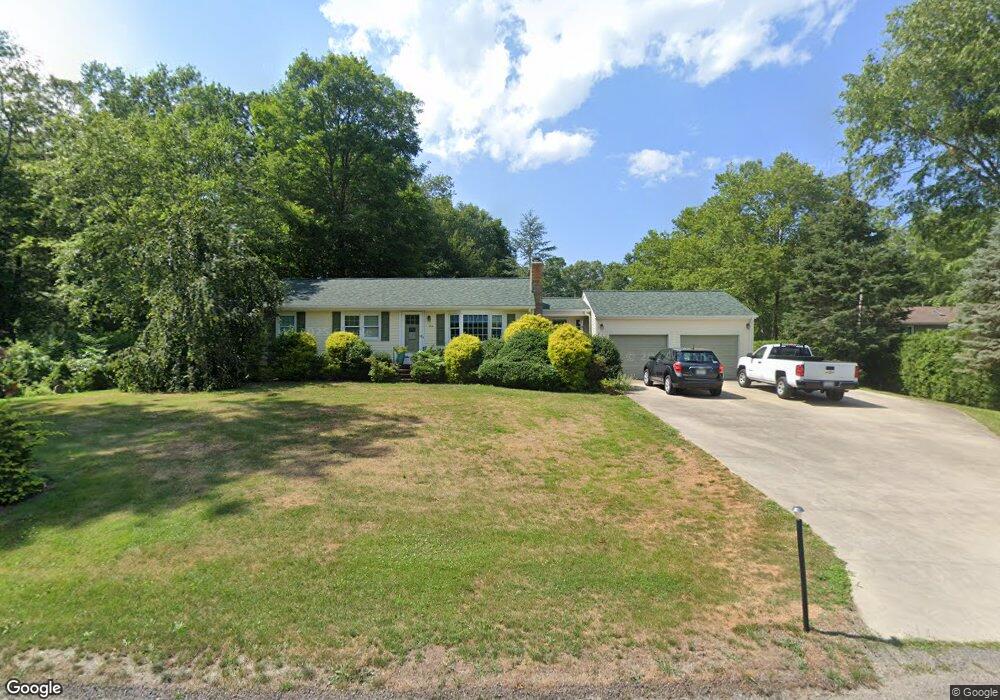
126 Spring St Rehoboth, MA 02769
Estimated Value: $495,491 - $624,000
3
Beds
1
Bath
1,092
Sq Ft
$507/Sq Ft
Est. Value
About This Home
This home is located at 126 Spring St, Rehoboth, MA 02769 and is currently estimated at $553,623, approximately $506 per square foot. 126 Spring St is a home located in Bristol County with nearby schools including Dighton-Rehoboth Regional High School.
Ownership History
Date
Name
Owned For
Owner Type
Purchase Details
Closed on
Apr 16, 2024
Sold by
Roy Donald M and Roy Gail M
Bought by
Roy Ft and Roy
Current Estimated Value
Purchase Details
Closed on
Sep 1, 1998
Sold by
Almeida Anthony and Almeida Mary
Bought by
Roy Donald M and Roy Gail M
Home Financials for this Owner
Home Financials are based on the most recent Mortgage that was taken out on this home.
Original Mortgage
$90,000
Interest Rate
6.9%
Mortgage Type
Purchase Money Mortgage
Create a Home Valuation Report for This Property
The Home Valuation Report is an in-depth analysis detailing your home's value as well as a comparison with similar homes in the area
Home Values in the Area
Average Home Value in this Area
Purchase History
| Date | Buyer | Sale Price | Title Company |
|---|---|---|---|
| Roy Ft | -- | None Available | |
| Roy Ft | -- | None Available | |
| Roy Donald M | $145,000 | -- | |
| Roy Donald M | $145,000 | -- |
Source: Public Records
Mortgage History
| Date | Status | Borrower | Loan Amount |
|---|---|---|---|
| Previous Owner | Roy Donald M | $37,100 | |
| Previous Owner | Roy Donald M | $90,000 | |
| Previous Owner | Roy Donald M | $10,000 |
Source: Public Records
Tax History
| Year | Tax Paid | Tax Assessment Tax Assessment Total Assessment is a certain percentage of the fair market value that is determined by local assessors to be the total taxable value of land and additions on the property. | Land | Improvement |
|---|---|---|---|---|
| 2025 | $46 | $409,800 | $178,800 | $231,000 |
| 2024 | $4,261 | $375,100 | $178,800 | $196,300 |
| 2023 | $4,243 | $366,400 | $175,200 | $191,200 |
| 2022 | $4,243 | $334,900 | $175,200 | $159,700 |
| 2021 | $3,318 | $311,300 | $167,400 | $143,900 |
| 2020 | $3,939 | $300,200 | $167,400 | $132,800 |
| 2018 | $2,960 | $289,300 | $159,600 | $129,700 |
| 2017 | $3,277 | $260,900 | $159,600 | $101,300 |
| 2016 | $3,208 | $264,000 | $159,600 | $104,400 |
| 2015 | $3,037 | $246,700 | $152,400 | $94,300 |
| 2014 | $2,979 | $239,500 | $145,200 | $94,300 |
Source: Public Records
Map
Nearby Homes