126 Stamp Mill Ln Unit 125 Dahlonega, GA 30533
Estimated Value: $1,604,780 - $1,892,000
5
Beds
5
Baths
6,345
Sq Ft
$275/Sq Ft
Est. Value
About This Home
This home is located at 126 Stamp Mill Ln Unit 125, Dahlonega, GA 30533 and is currently estimated at $1,747,195, approximately $275 per square foot. 126 Stamp Mill Ln Unit 125 is a home located in Lumpkin County with nearby schools including Lumpkin County High School.
Ownership History
Date
Name
Owned For
Owner Type
Purchase Details
Closed on
Oct 9, 2024
Sold by
Shea James A
Bought by
Frye Robert Allen and Frye Sandra Lee
Current Estimated Value
Purchase Details
Closed on
May 30, 2014
Sold by
Stowe J Ronald
Bought by
Shea James A and Shea Sandra H
Home Financials for this Owner
Home Financials are based on the most recent Mortgage that was taken out on this home.
Original Mortgage
$615,000
Interest Rate
4.36%
Mortgage Type
New Conventional
Purchase Details
Closed on
Oct 8, 1999
Sold by
Owens Valley Farm Lp
Bought by
Stowe J Ronald
Purchase Details
Closed on
Apr 17, 1998
Bought by
Owens Valley Farm Lp
Create a Home Valuation Report for This Property
The Home Valuation Report is an in-depth analysis detailing your home's value as well as a comparison with similar homes in the area
Home Values in the Area
Average Home Value in this Area
Purchase History
| Date | Buyer | Sale Price | Title Company |
|---|---|---|---|
| Frye Robert Allen | $1,650,000 | -- | |
| Shea James A | $820,000 | -- | |
| Stowe J Ronald | $125,000 | -- | |
| Owens Valley Farm Lp | -- | -- |
Source: Public Records
Mortgage History
| Date | Status | Borrower | Loan Amount |
|---|---|---|---|
| Previous Owner | Shea James A | $615,000 |
Source: Public Records
Tax History Compared to Growth
Tax History
| Year | Tax Paid | Tax Assessment Tax Assessment Total Assessment is a certain percentage of the fair market value that is determined by local assessors to be the total taxable value of land and additions on the property. | Land | Improvement |
|---|---|---|---|---|
| 2024 | $10,823 | $382,664 | $18,000 | $364,664 |
| 2023 | $8,978 | $331,167 | $18,000 | $313,167 |
| 2022 | $10,046 | $330,563 | $18,000 | $312,563 |
| 2021 | $8,474 | $261,396 | $18,000 | $243,396 |
| 2020 | $8,606 | $255,571 | $18,000 | $237,571 |
| 2019 | $9,058 | $267,571 | $30,000 | $237,571 |
| 2018 | $9,074 | $250,951 | $43,122 | $207,829 |
| 2017 | $8,912 | $242,434 | $43,122 | $199,312 |
| 2016 | $8,552 | $227,700 | $43,122 | $184,578 |
| 2015 | $4,260 | $227,700 | $43,122 | $184,578 |
| 2014 | $4,260 | $229,798 | $43,122 | $186,676 |
| 2013 | -- | $246,283 | $57,510 | $188,773 |
Source: Public Records
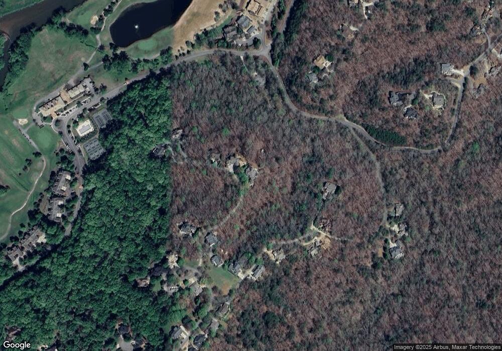
Map
Nearby Homes
- 133 Stamp Mill Dr
- 0 Stamp Mill Dr
- 134 Prospector Ridge
- 533 Birch River Dr Unit GV17
- 1259 Birch River Dr
- 1113 Kiliahote Pass
- 38 Cavender Run
- 1364 Birch River Dr
- 48 Kasten Run
- 72 Rustin Ridge Unit 276
- 1034 Bear Paw Ridge
- 1038 Bear Paw Ridge
- 1040 Bear Paw Ridge
- 1036 Bear Paw Ridge
- 1048 Bear Paw Ridge
- 1028 Bear Paw Ridge
- 134 Rockhound Dr
- 103 Rockhound Dr
- 67 Quartz Way
- 1024 Bear Paw Ridge
- 126 Stamp Mill Ln
- 200 Stamp Mill Ln
- 122 Stamp Mill Ln
- 150 Stamp Mill Ln
- 176 Stamp Mill Ln
- 50 Stamp Mill Dr
- 38 Stamp Mill Ln
- 159 Stamp Mill Dr
- 38 Stamp Mill Dr
- 63 Stamp Mill Dr
- 35 Stamp Mill Ln
- 210 Stamp Mill Ln
- 35 Stamp Mill Ln
- 92 Stamp Mill Dr
- 14 Stamp Mill Ln
- 158 Stamp Mill Dr
- 205 Stamp Mill Ln
- 128 Stamp Mill Dr
- 144 Stamp Mill Dr
- 144 Stamp Mill Dr Unit 134