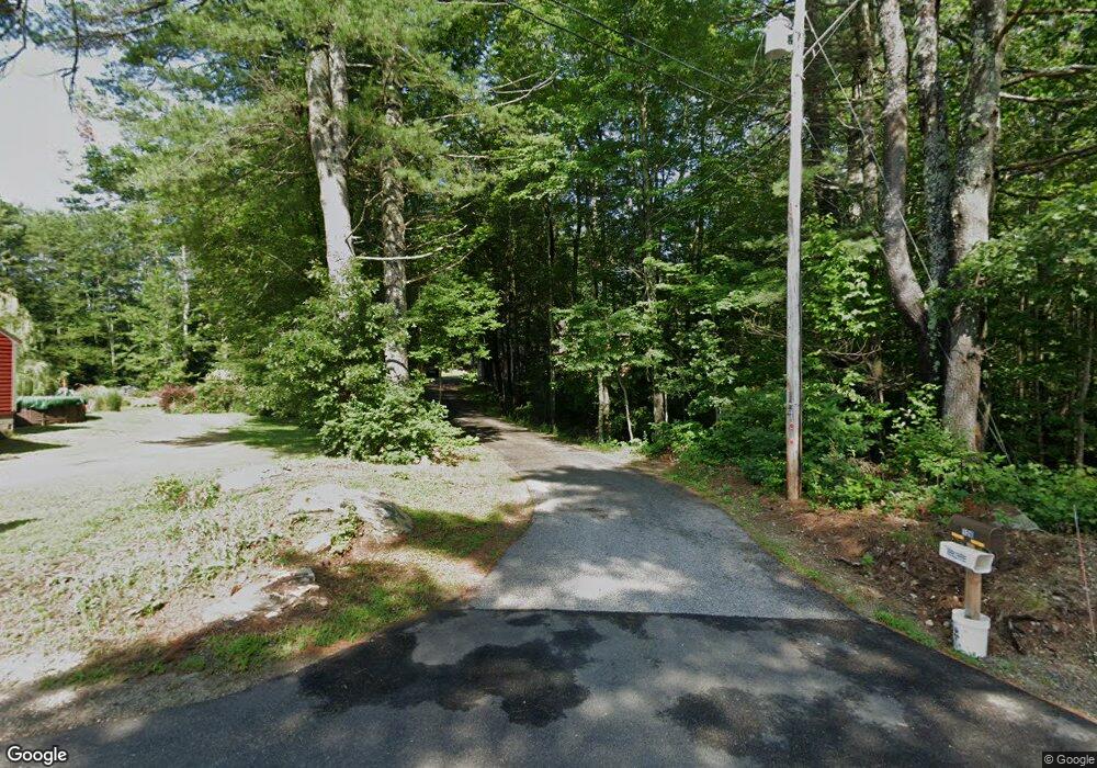
126 Stanley Rd Springvale, ME 04083
Estimated Value: $388,000 - $496,000
4
Beds
2
Baths
2,482
Sq Ft
$179/Sq Ft
Est. Value
About This Home
This home is located at 126 Stanley Rd, Springvale, ME 04083 and is currently estimated at $443,151, approximately $178 per square foot. 126 Stanley Rd is a home located in York County.
Ownership History
Date
Name
Owned For
Owner Type
Purchase Details
Closed on
May 16, 2023
Sold by
Jett Joseph R and Jett Carolyn F
Bought by
Jett Justin R and Jett Jessica L
Current Estimated Value
Home Financials for this Owner
Home Financials are based on the most recent Mortgage that was taken out on this home.
Original Mortgage
$216,727
Outstanding Balance
$210,235
Interest Rate
6.39%
Mortgage Type
FHA
Estimated Equity
$232,916
Purchase Details
Closed on
Apr 8, 2022
Sold by
Jett Joseph R and Jett Carolyn F
Bought by
Jett Joseph R and Jett Carolyn F
Create a Home Valuation Report for This Property
The Home Valuation Report is an in-depth analysis detailing your home's value as well as a comparison with similar homes in the area
Home Values in the Area
Average Home Value in this Area
Purchase History
| Date | Buyer | Sale Price | Title Company |
|---|---|---|---|
| Jett Justin R | -- | None Available | |
| Jett Joseph R | -- | None Available |
Source: Public Records
Mortgage History
| Date | Status | Borrower | Loan Amount |
|---|---|---|---|
| Open | Jett Justin R | $216,727 |
Source: Public Records
Tax History Compared to Growth
Tax History
| Year | Tax Paid | Tax Assessment Tax Assessment Total Assessment is a certain percentage of the fair market value that is determined by local assessors to be the total taxable value of land and additions on the property. | Land | Improvement |
|---|---|---|---|---|
| 2025 | $4,851 | $283,700 | $45,300 | $238,400 |
| 2024 | $4,579 | $283,700 | $45,300 | $238,400 |
| 2023 | $4,260 | $281,400 | $45,300 | $236,100 |
| 2022 | $4,199 | $283,700 | $45,400 | $238,300 |
| 2021 | $3,498 | $223,400 | $45,400 | $178,000 |
| 2020 | $3,240 | $191,700 | $45,400 | $146,300 |
| 2019 | $3,780 | $182,600 | $45,400 | $137,200 |
| 2018 | $3,019 | $171,600 | $40,700 | $130,900 |
| 2017 | $3,345 | $161,300 | $40,700 | $120,600 |
| 2016 | $3,431 | $150,900 | $40,800 | $110,100 |
| 2015 | $3,019 | $153,000 | $45,800 | $107,200 |
| 2014 | $3,224 | $154,700 | $47,500 | $107,200 |
| 2013 | -- | $165,100 | $53,600 | $111,500 |
Source: Public Records
Map
Nearby Homes
- 36 Littlefield Rd
- 17 Deering Neighborhood Rd
- TBD Elm St
- 2 Harrison St
- 15 Goodwin St
- 5 Goodwin St
- 2 Kirk St
- 19 Mill St
- 39 Payne St
- 446 Main St
- 6 Harris St
- 2 Libby Ln
- 14 Pleasant St
- 14 Webster St
- 1 John St
- 12 Harrison Ave
- 538 Main St Unit 2
- R6-41-S3 Railroad Ave
- R6-41-S2 Railroad Ave
- R6-41-S4 Railroad Ave
