Estimated Value: $241,000 - $405,000
--
Bed
1
Bath
2,977
Sq Ft
$111/Sq Ft
Est. Value
About This Home
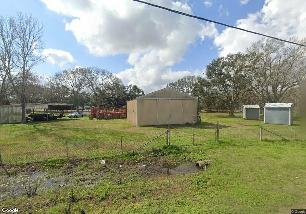
This home is located at 126 Susie Ct, Alvin, TX 77511 and is currently estimated at $330,562, approximately $111 per square foot. 126 Susie Ct is a home located in Brazoria County with nearby schools including Bob & Betty Nelson Elementary School.
Ownership History
Date
Name
Owned For
Owner Type
Purchase Details
Closed on
Jun 16, 2006
Sold by
Robertson Ronald Dale and Robertson Weldon Douglas
Bought by
Wiltshire Troy M and Wiltshire Linda C
Current Estimated Value
Home Financials for this Owner
Home Financials are based on the most recent Mortgage that was taken out on this home.
Original Mortgage
$82,320
Outstanding Balance
$48,425
Interest Rate
6.58%
Mortgage Type
Purchase Money Mortgage
Estimated Equity
$282,137
Purchase Details
Closed on
Feb 8, 2006
Sold by
Robertson Ronald Dale
Bought by
Robertson Ronald Dale and Robertson Weldon Douglas
Create a Home Valuation Report for This Property
The Home Valuation Report is an in-depth analysis detailing your home's value as well as a comparison with similar homes in the area
Home Values in the Area
Average Home Value in this Area
Purchase History
| Date | Buyer | Sale Price | Title Company |
|---|---|---|---|
| Wiltshire Troy M | -- | Stewart Title Brazoria | |
| Robertson Ronald Dale | -- | None Available |
Source: Public Records
Mortgage History
| Date | Status | Borrower | Loan Amount |
|---|---|---|---|
| Open | Wiltshire Troy M | $82,320 |
Source: Public Records
Tax History Compared to Growth
Tax History
| Year | Tax Paid | Tax Assessment Tax Assessment Total Assessment is a certain percentage of the fair market value that is determined by local assessors to be the total taxable value of land and additions on the property. | Land | Improvement |
|---|---|---|---|---|
| 2025 | $1,329 | $155,695 | $103,970 | $177,020 |
| 2023 | $1,329 | $128,674 | $105,330 | $179,310 |
| 2022 | $2,492 | $116,976 | $95,140 | $101,810 |
| 2021 | $2,312 | $120,000 | $61,160 | $58,840 |
| 2020 | $2,130 | $119,200 | $61,160 | $58,040 |
| 2019 | $1,993 | $86,090 | $24,460 | $61,630 |
| 2018 | $1,998 | $86,090 | $24,460 | $61,630 |
| 2017 | $1,884 | $81,070 | $26,500 | $54,570 |
| 2016 | $1,712 | $81,070 | $26,500 | $54,570 |
| 2015 | $1,223 | $66,270 | $20,390 | $45,880 |
| 2014 | $1,223 | $64,260 | $20,390 | $43,870 |
Source: Public Records
Map
Nearby Homes
- 14707 Susie Ln
- 0 Patricia Cr 377 Ln
- 6203 Wickwillow Ln
- 5624 Wickwillow Ln
- 0
- 14010 Patricia Ln Unit CR377
- 4925 County Road 435
- 10311 Farm To Market 1462
- 10203 S Country Dr
- 0 Wickwillow Ln
- 9602 Evan Dr
- 7923 Stratford Hall Dr
- 15586 County Road 436
- 7911 Stratford Hall Dr
- 6930 S Oak Bend Dr
- 7515 Oak Alley Ct
- 000 Farm To Market 1462 Rd
- 7502 Nottaway Ct
- 0 County Road 172 Unit 70480187
- 0008 County Road 172
- 14201 Susie Ln
- 114 Susie Ct
- 14202 Susie Ln
- 108 Susie Ct
- 14101 Susie Ln
- 442 Susie Ct
- 14208 Susie Ln
- 14021 Susie Ln Unit 1
- 14021 Susie Ln Unit CR442
- 14214 Susie Ln
- 14026 Susie Ln
- 14320 Susie Ln
- 14120 Eunice Ln
- 14308 Susie Ln
- 14402 County Road 442
- 14402 Susie Ln
- 9504 Fm 1462 Rd
- 9502 Fm 1462 Rd
- 9502 Fm 1462 Rd
- 9602 Fm 1462 Rd