126 SW 3rd St Pilot Rock, OR 97868
Estimated Value: $216,000 - $258,817
3
Beds
1
Bath
1,933
Sq Ft
$124/Sq Ft
Est. Value
About This Home
This home is located at 126 SW 3rd St, Pilot Rock, OR 97868 and is currently estimated at $239,454, approximately $123 per square foot. 126 SW 3rd St is a home located in Umatilla County with nearby schools including Pilot Rock Elementary School and Pilot Rock High School.
Ownership History
Date
Name
Owned For
Owner Type
Purchase Details
Closed on
Apr 30, 2021
Sold by
Hardin Ann Marie and Hardin Steve
Bought by
Klatt Eric W and Stevenson Rebecca A
Current Estimated Value
Purchase Details
Closed on
Nov 5, 2009
Sold by
Stanton James T and Stanton Keith J
Bought by
Forster Eric B and Forster Josephine A
Home Financials for this Owner
Home Financials are based on the most recent Mortgage that was taken out on this home.
Original Mortgage
$58,000
Interest Rate
5.02%
Mortgage Type
Purchase Money Mortgage
Create a Home Valuation Report for This Property
The Home Valuation Report is an in-depth analysis detailing your home's value as well as a comparison with similar homes in the area
Home Values in the Area
Average Home Value in this Area
Purchase History
| Date | Buyer | Sale Price | Title Company |
|---|---|---|---|
| Klatt Eric W | $49,000 | Indiana Title Network Co | |
| Forster Eric B | $70,000 | Amerititle |
Source: Public Records
Mortgage History
| Date | Status | Borrower | Loan Amount |
|---|---|---|---|
| Previous Owner | Forster Eric B | $58,000 |
Source: Public Records
Tax History Compared to Growth
Tax History
| Year | Tax Paid | Tax Assessment Tax Assessment Total Assessment is a certain percentage of the fair market value that is determined by local assessors to be the total taxable value of land and additions on the property. | Land | Improvement |
|---|---|---|---|---|
| 2024 | $1,371 | $79,420 | $19,180 | $60,240 |
| 2023 | $1,343 | $77,110 | $18,620 | $58,490 |
| 2022 | $1,276 | $74,870 | $0 | $0 |
| 2021 | $1,280 | $72,690 | $17,550 | $55,140 |
| 2020 | $1,165 | $70,580 | $17,040 | $53,540 |
| 2018 | $1,048 | $66,540 | $16,060 | $50,480 |
| 2017 | $1,042 | $64,610 | $15,590 | $49,020 |
| 2016 | $1,041 | $62,730 | $15,140 | $47,590 |
| 2015 | $1,024 | $57,420 | $13,850 | $43,570 |
| 2014 | $987 | $57,420 | $13,850 | $43,570 |
Source: Public Records
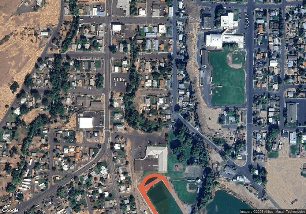
Map
Nearby Homes
- 261 SW 2nd St
- 520 NE 4th St
- 706 NE Gumwood St
- 44743 McKay Creek Rd
- 70349 Lakeside Rd
- 63615 E Birch Creek Ed
- 000 Motanic Rd
- 0000 County 1031 Rd
- 71539 SW Bridle Dr
- 72062 Westfield Blvd
- 904 SW 43rd St
- 4207 SW Sheridan Ave
- 0 Mckay Dr
- 1901 SW Runnion Ln
- 1437 SW 40th St
- 1914 SW 2nd Dr
- 1437 SW 37th St Unit 43
- 1328 SW 44th St
- 0 SW 2nd St Unit 263926795
- 0 SW Quinney Ln Unit 24414661