126 SW Schofield Ct Fort White, FL 32038
Estimated Value: $293,000 - $704,000
5
Beds
3
Baths
2,985
Sq Ft
$168/Sq Ft
Est. Value
About This Home
This home is located at 126 SW Schofield Ct, Fort White, FL 32038 and is currently estimated at $501,182, approximately $167 per square foot. 126 SW Schofield Ct is a home located in Columbia County with nearby schools including Fort White Elementary School and Fort White High School.
Ownership History
Date
Name
Owned For
Owner Type
Purchase Details
Closed on
Aug 12, 2009
Sold by
Schofield Lonnie H and Schofield Viney Ann
Bought by
Schofield Westley L
Current Estimated Value
Purchase Details
Closed on
Aug 27, 2008
Sold by
Schofield Lonnie H
Bought by
Schofield Westley L
Purchase Details
Closed on
Aug 26, 2008
Sold by
Bullard Management Services Inc
Bought by
Schofield Westley L
Purchase Details
Closed on
Sep 27, 2007
Sold by
Schofield Lonnie H
Bought by
Schofield Westley L
Purchase Details
Closed on
Mar 1, 2005
Sold by
Schofield Lonnie H
Bought by
Bullard Management Services Inc
Create a Home Valuation Report for This Property
The Home Valuation Report is an in-depth analysis detailing your home's value as well as a comparison with similar homes in the area
Home Values in the Area
Average Home Value in this Area
Purchase History
| Date | Buyer | Sale Price | Title Company |
|---|---|---|---|
| Schofield Westley L | -- | None Available | |
| Schofield Westley L | -- | Attorney | |
| Schofield Westley L | -- | Attorney | |
| Schofield Westley L | -- | Attorney | |
| Bullard Management Services Inc | $27,300 | -- |
Source: Public Records
Tax History Compared to Growth
Tax History
| Year | Tax Paid | Tax Assessment Tax Assessment Total Assessment is a certain percentage of the fair market value that is determined by local assessors to be the total taxable value of land and additions on the property. | Land | Improvement |
|---|---|---|---|---|
| 2024 | $2,956 | $199,590 | -- | -- |
| 2023 | $2,956 | $187,886 | $0 | $0 |
| 2022 | $2,847 | $179,869 | $0 | $0 |
| 2021 | $2,295 | $172,923 | $0 | $0 |
| 2020 | $2,071 | $168,057 | $0 | $0 |
| 2019 | $2,338 | $163,646 | $0 | $0 |
| 2018 | $2,727 | $159,941 | $0 | $0 |
| 2017 | $2,730 | $159,080 | $12,281 | $146,799 |
| 2016 | $2,708 | $159,071 | $12,190 | $146,881 |
| 2015 | $2,645 | $150,754 | $0 | $0 |
| 2014 | $2,625 | $149,275 | $0 | $0 |
Source: Public Records
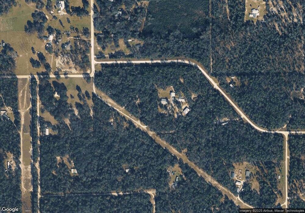
Map
Nearby Homes
- 959 Roberts Ave
- 172 SW Trenton Terrace
- 1745 SW Newark Dr
- 1965 SW Newark Dr
- 234 Boundary Way
- 00 SW Newark Dr Unit 3
- 0 SW Newark Dr Unit MFRGC535738
- 0 SW Newark Dr Unit MFRR4908315
- 0 SW Newark Dr Unit MFRR4908314
- 264 SW Texas Ln
- 473 SW Richmond Way
- 1521 SW Central Terrace
- 843 SW Illinois St
- 00000 SW Richmond Way
- LOT46 SW Kentucky St
- LOT 45 SW Kentucky St
- LOT 44 SW Kentucky St
- LOT43 SW Kentucky St
- LOT45 SW Kentucky St
- LOT 46 SW Kentucky St
- 909 Roberts Ave
- 909 SW Roberts Ave
- 909 SW Roberts Ave
- 343 Luke Rd
- 129 SW San Tucknee Terrace
- 940 SW Roberts Ave
- 375 SW Pewter Ct
- 837 SW Roberts Ave
- 145 SW Leah Ct
- 00 Luke Rd
- 874 SW Roberts Ave
- 824 SW Angel Glen
- 756 SW Roberts Ave
- 709 SW Roberts Ave
- 331 SW Illinois St
- 702 SW Angel Glen
- 287 SW Albany Terrace
- 231 SW Albany Terrace
- TBD Albany Terrace
- 181 SW Albany Terrace