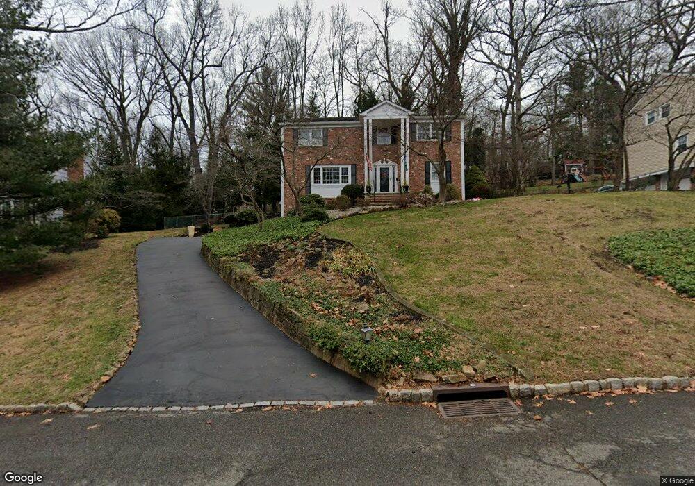
126 Wentworth Dr Berkeley Heights, NJ 07922
Estimated Value: $939,149 - $1,330,000
--
Bed
--
Bath
2,408
Sq Ft
$470/Sq Ft
Est. Value
About This Home
This home is located at 126 Wentworth Dr, Berkeley Heights, NJ 07922 and is currently estimated at $1,132,287, approximately $470 per square foot. 126 Wentworth Dr is a home located in Union County with nearby schools including Columbia Middle School, Governor Livingston High School, and The Academy of Our Lady of Peace.
Ownership History
Date
Name
Owned For
Owner Type
Purchase Details
Closed on
Jul 14, 1998
Sold by
Hardenburg Harold C and Hardenburg Judith Ann
Bought by
Mouchtaris Petros N and Mouchtaris Donna W
Current Estimated Value
Home Financials for this Owner
Home Financials are based on the most recent Mortgage that was taken out on this home.
Original Mortgage
$227,000
Outstanding Balance
$46,374
Interest Rate
6.98%
Estimated Equity
$1,085,914
Create a Home Valuation Report for This Property
The Home Valuation Report is an in-depth analysis detailing your home's value as well as a comparison with similar homes in the area
Home Values in the Area
Average Home Value in this Area
Purchase History
| Date | Buyer | Sale Price | Title Company |
|---|---|---|---|
| Mouchtaris Petros N | $375,000 | -- |
Source: Public Records
Mortgage History
| Date | Status | Borrower | Loan Amount |
|---|---|---|---|
| Open | Mouchtaris Petros N | $227,000 |
Source: Public Records
Tax History Compared to Growth
Tax History
| Year | Tax Paid | Tax Assessment Tax Assessment Total Assessment is a certain percentage of the fair market value that is determined by local assessors to be the total taxable value of land and additions on the property. | Land | Improvement |
|---|---|---|---|---|
| 2025 | $16,595 | $387,100 | $180,800 | $206,300 |
| 2024 | $16,355 | $387,100 | $180,800 | $206,300 |
| 2023 | $16,355 | $387,100 | $180,800 | $206,300 |
| 2022 | $16,254 | $387,100 | $180,800 | $206,300 |
| 2021 | $16,165 | $387,100 | $180,800 | $206,300 |
| 2020 | $16,250 | $387,100 | $180,800 | $206,300 |
| 2019 | $16,169 | $387,100 | $180,800 | $206,300 |
| 2018 | $15,832 | $387,100 | $180,800 | $206,300 |
| 2017 | $15,639 | $387,100 | $180,800 | $206,300 |
| 2016 | $15,364 | $387,100 | $180,800 | $206,300 |
| 2015 | $15,279 | $387,100 | $180,800 | $206,300 |
| 2014 | $14,880 | $387,100 | $180,800 | $206,300 |
Source: Public Records
Map
Nearby Homes
- 25 Oechsner Ct
- 5 Berkeley Square Unit 5
- 33 Bristol Ct
- 86 Orion Rd
- 45 Wilson Dr
- 28 Peacock Ln Unit 28
- 78 Spring Ridge Dr
- 37 Oak Ridge Rd
- 41 Meadowview Ln
- 30 Robbins Ave
- 34 Meadowview Ln
- 62 Springholm Dr Unit 62
- 126 Snyder Ave
- 132 Fairview Ave
- 27 Angela Way Unit 727
- 78 Twin Falls Rd
- 19 Guenevere Way Ondo
- 235 Plainfield Ave
- 93 Park Edge Unit 3H
- 3 Cottage Ct Unit 3
- 136 Wentworth Dr
- 28 Overlook Dr
- 18 Overlook Dr
- 135 Wentworth Dr
- 106 Wentworth Dr
- 125 Wentworth Dr
- 146 Wentworth Dr
- 38 Overlook Dr
- 145 Wentworth Dr
- 115 Wentworth Dr
- 8 Overlook Dr
- 96 Wentworth Dr
- 27 Overlook Dr
- 155 Wentworth Dr
- 105 Wentworth Dr
- 48 Overlook Dr
- 89 Timber Dr
- 37 Overlook Dr
- 97 Timber Dr
- 17 Overlook Dr