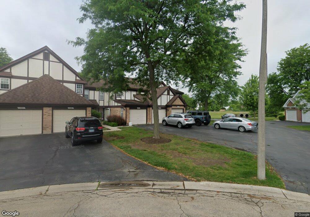
126 White Branch Ct Buffalo Grove, IL 60089
Estimated Value: $302,455 - $328,000
2
Beds
2
Baths
1,206
Sq Ft
$263/Sq Ft
Est. Value
About This Home
This home is located at 126 White Branch Ct, Buffalo Grove, IL 60089 and is currently estimated at $316,864, approximately $262 per square foot. 126 White Branch Ct is a home located in Lake County with nearby schools including Meridian Middle School, Tripp Elementary School, and Aptakisic Junior High School.
Ownership History
Date
Name
Owned For
Owner Type
Purchase Details
Closed on
Mar 26, 2009
Sold by
Mayer Irving and Mayer Anne
Bought by
Brown Gervase
Current Estimated Value
Home Financials for this Owner
Home Financials are based on the most recent Mortgage that was taken out on this home.
Original Mortgage
$100,000
Interest Rate
5.11%
Mortgage Type
Unknown
Create a Home Valuation Report for This Property
The Home Valuation Report is an in-depth analysis detailing your home's value as well as a comparison with similar homes in the area
Home Values in the Area
Average Home Value in this Area
Purchase History
| Date | Buyer | Sale Price | Title Company |
|---|---|---|---|
| Brown Gervase | $175,000 | Chicago Title Insurance Co |
Source: Public Records
Mortgage History
| Date | Status | Borrower | Loan Amount |
|---|---|---|---|
| Closed | Brown Gervase | $100,000 |
Source: Public Records
Tax History Compared to Growth
Tax History
| Year | Tax Paid | Tax Assessment Tax Assessment Total Assessment is a certain percentage of the fair market value that is determined by local assessors to be the total taxable value of land and additions on the property. | Land | Improvement |
|---|---|---|---|---|
| 2024 | $5,336 | $82,242 | $26,736 | $55,506 |
| 2023 | $5,550 | $77,601 | $25,227 | $52,374 |
| 2022 | $5,550 | $67,807 | $22,043 | $45,764 |
| 2021 | $5,344 | $67,076 | $21,805 | $45,271 |
| 2020 | $5,243 | $67,304 | $21,879 | $45,425 |
| 2019 | $5,560 | $67,056 | $21,798 | $45,258 |
| 2018 | $4,839 | $59,120 | $23,694 | $35,426 |
| 2017 | $4,772 | $57,740 | $23,141 | $34,599 |
| 2016 | $4,591 | $55,290 | $22,159 | $33,131 |
| 2015 | $4,477 | $51,707 | $20,723 | $30,984 |
| 2014 | $3,950 | $45,871 | $16,693 | $29,178 |
| 2012 | $4,706 | $54,073 | $22,301 | $31,772 |
Source: Public Records
Map
Nearby Homes
- 148 White Branch Ct
- 1157 Russellwood Ct
- 60 E Fabish Dr
- 1012 Hobson Dr
- 15 Thompson Ct
- 1272 Sandhurst Dr
- 381 Bentley Place
- 51 W Fabish Dr
- 938 Hidden Lake Dr
- 12 Aberdeen Ct
- 720 Dunhill Dr
- 1113 Lockwood Dr
- 620 Cobblestone Ln
- 625 Marseilles Cir
- 1118 Larraway Dr
- 20665 N Weiland Rd
- 16202 W Aptakisic Rd
- 22118 N Prairie Rd
- 603 Cherbourg Ct N
- 20772 N William Ave
- 124 White Branch Ct
- 122 White Branch Ct
- 120 White Branch Ct
- 170 White Branch Ct
- 116 White Branch Ct
- 172 White Branch Ct
- 114 White Branch Ct
- 174 White Branch Ct
- 112 White Branch Ct
- 176 White Branch Ct
- 1107 Sandhurst Ct
- 110 White Branch Ct
- 180 White Branch Ct
- 182 White Branch Ct
- 184 White Branch Ct
- 1113 Sandhurst Ct
- 186 White Branch Ct
- 1101 Sandhurst Ct
- 210 White Branch Ct
- 212 White Branch Ct